Where is Kern County, California?
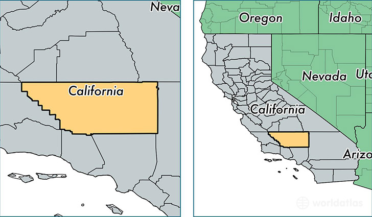
Kern County is a county equivalent area found in California, USA. The county government of Kern is found in the county seat of Bakersfield.
With a total 21,141.21 sq. km of land and water area, Kern County, California is the 39th largest county equivalent area in the United States. Home to 874,589 people, Kern County has a total 288342 households earning 48552 on average per year.
Kern County, California offers the following attraction to visitors: Cesar Chavez Home NHS
Kern County, California - Quick Facts
| FIPS Code | 6029 |
| Area Codes | 661,760 |
| Time Zone | PST |
| Major Cities | Bakersfield (population: 530,432), Delano (population: 64,245), Tehachapi (population: 35,311), Ridgecrest (population: 33,201), Wasco (population: 27,686), Arvin (population: 21,350), Shafter (population: 19,967), Rosamond (population: 19,281), Lamont (population: 17,833), Taft (population: 17,229) |
| Land Area | 337,681 sq miles |
| Water Area | 8,132 sq miles |
| Household Income | $48,552 |
| Housing Units | 288,342 |
| Median Home Value | $161,700 |
| High School Grads | 72% of population |
| Holders of Bachelors Degrees | 15% of population |
| Retail Spending | $10,037 per capita |
| Food & Accomodation Sales | $940,340 per capita |
This page was last updated on June 30, 2016.