Fresno County, CA, USA
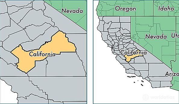
Fresno County is a county equivalent area found in California, USA. The county government of Fresno is found in the county seat of Fresno.
With a total 15,568.68 sq. km of land and water area, Fresno County, California is the 64th largest county equivalent area in the United States. Home to 965,974 people, Fresno County has a total 320738 households earning 45563 on average per year.
Fresno County, California offers the following attraction to visitors: Kings Canyon NP
Fresno County, California - Quick Facts
| FIPS Code | 6019 |
| Area Codes | 559 |
| Time Zone | PST |
| Major Cities | Fresno (population: 580,956), Clovis (population: 111,990), Sanger (population: 35,655), Selma (population: 30,803), Reedley (population: 30,336), Coalinga (population: 19,870), Kerman (population: 19,521), Kingsburg (population: 16,224), Parlier (population: 16,013), Mendota (population: 12,102) |
| Land Area | 372,964 sq miles |
| Water Area | 5,959 sq miles |
| Household Income | $45,563 |
| Housing Units | 320,738 |
| Median Home Value | $195,400 |
| High School Grads | 73% of population |
| Holders of Bachelors Degrees | 20% of population |
| Retail Spending | $11,022 per capita |
| Food & Accomodation Sales | $1,147,177 per capita |
| Universities and Colleges | San Joaquin Valley College-Fresno, Lyles College of Beauty, San Joaquin College of Law, Manchester Beauty College |