Where is Izard County, Arkansas?
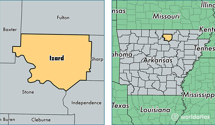
Izard County is a county equivalent area found in Arkansas, USA. The county government of Izard is found in the county seat of Melbourne.
With a total 1,512.6 sq. km of land and water area, Izard County, Arkansas is the 1808th largest county equivalent area in the United States. Home to 13,486 people, Izard County has a total 7179 households earning 30661 on average per year.
Izard County, Arkansas - Quick Facts
| FIPS Code | 5065 |
| Area Codes | 870 |
| Time Zone | CST |
| Major Cities | Melbourne (population: 3,320), Horseshoe Bend (population: 2,198), Oxford (population: 982), Mount Pleasant (population: 965), Pineville (population: 613), Violet Hill (population: 558), Brockwell (population: 479), Franklin (population: 422), Sage (population: 273), Wideman (population: 212) |
| Land Area | 5,207 sq miles |
| Water Area | 581 sq miles |
| Household Income | $30,661 |
| Housing Units | 7,179 |
| Median Home Value | $73,900 |
| High School Grads | 80% of population |
| Holders of Bachelors Degrees | 12% of population |
| Retail Spending | $8,035 per capita |
| Food & Accomodation Sales | $3,275 per capita |
This page was last updated on June 30, 2016.