Where is Baxter County, Arkansas?
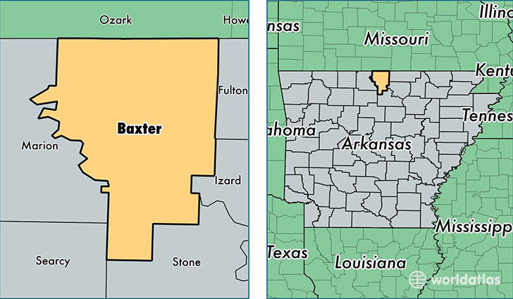
Baxter County is a county equivalent area found in Arkansas, USA. The county government of Baxter is found in the county seat of Mountain Home.
With a total 1,519.61 sq. km of land and water area, Baxter County, Arkansas is the 1793rd largest county equivalent area in the United States. Home to 40,857 people, Baxter County has a total 22490 households earning 35343 on average per year.
Baxter County, Arkansas offers the following attraction to visitors: Buffalo NR
Baxter County, Arkansas - Quick Facts
| FIPS Code | 5005 |
| Area Codes | 870 |
| Time Zone | CST |
| Major Cities | Mountain Home (population: 28,240), Gassville (population: 3,583), Calico Rock (population: 3,109), Lakeview (population: 1,956), Norfork (population: 1,666), Cotter (population: 1,229), Midway (population: 1,192), Elizabeth (population: 798), Gamaliel (population: 795), Clarkridge (population: 640) |
| Land Area | 15,775 sq miles |
| Water Area | 554 sq miles |
| Household Income | $35,343 |
| Housing Units | 22,490 |
| Median Home Value | $120,000 |
| High School Grads | 88% of population |
| Holders of Bachelors Degrees | 17% of population |
| Retail Spending | $11,633 per capita |
| Food & Accomodation Sales | $60,260 per capita |
This page was last updated on June 30, 2016.