Fulton County, AR, USA
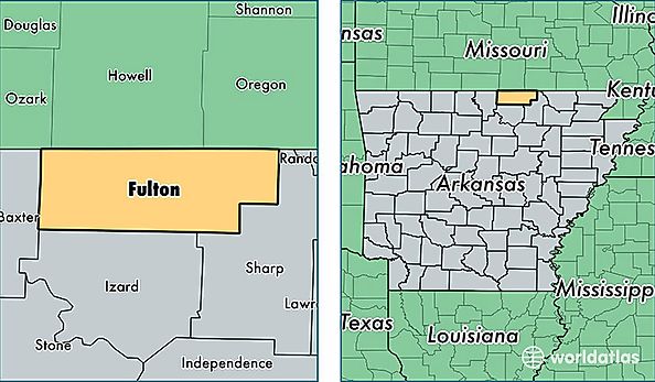
Fulton County is a county equivalent area found in Arkansas, USA. The county government of Fulton is found in the county seat of Salem.
With a total 1,606.64 sq. km of land and water area, Fulton County, Arkansas is the 1673rd largest county equivalent area in the United States. Home to 12,125 people, Fulton County has a total 6728 households earning 35522 on average per year.
Fulton County, Arkansas - Quick Facts
| FIPS Code | 5049 |
| Area Codes | 870 |
| Time Zone | CST |
| Major Cities | Salem (population: 3,891), Mammoth Spring (population: 2,935), Viola (population: 1,689), Gepp (population: 434), Camp (population: 310), Glencoe (population: 254), Sturkie (population: 213), Bexar (population: 63) |
| Land Area | 4,681 sq miles |
| Water Area | 618 sq miles |
| Household Income | $35,522 |
| Housing Units | 6,728 |
| Median Home Value | $88,200 |
| High School Grads | 84% of population |
| Holders of Bachelors Degrees | 10% of population |
| Retail Spending | $3,598 per capita |
| Food & Accomodation Sales | $5,299 per capita |