Where is Howell County, Missouri?
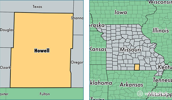
Howell County is a county equivalent area found in Missouri, USA. The county government of Howell is found in the county seat of West Plains.
With a total 2,404.48 sq. km of land and water area, Howell County, Missouri is the 876th largest county equivalent area in the United States. Home to 40,173 people, Howell County has a total 17953 households earning 32533 on average per year.
Howell County, Missouri - Quick Facts
| FIPS Code | 29091 |
| Area Codes | 417 |
| Time Zone | CST |
| Major Cities | West Plains (population: 25,047), Willow Springs (population: 6,361), Mountain View (population: 5,931), Pomona (population: 2,025), Pottersville (population: 741), Peace Valley (population: 424), Moody (population: 329) |
| Land Area | 15,511 sq miles |
| Water Area | 927 sq miles |
| Household Income | $32,533 |
| Housing Units | 17,953 |
| Median Home Value | $97,700 |
| High School Grads | 83% of population |
| Holders of Bachelors Degrees | 15% of population |
| Retail Spending | $14,163 per capita |
| Food & Accomodation Sales | $47,630 per capita |
This page was last updated on June 30, 2016.