Where is Poinsett County, Arkansas?
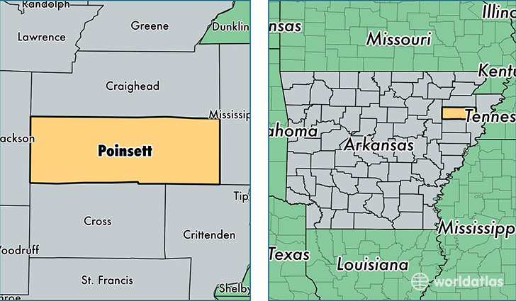
Poinsett County is a county equivalent area found in Arkansas, USA. The county government of Poinsett is found in the county seat of Harrisburg.
With a total 1,977.72 sq. km of land and water area, Poinsett County, Arkansas is the 1255th largest county equivalent area in the United States. Home to 24,246 people, Poinsett County has a total 10884 households earning 32089 on average per year.
Poinsett County, Arkansas - Quick Facts
| FIPS Code | 5111 |
| Area Codes | 870 |
| Time Zone | CST |
| Major Cities | Trumann (population: 9,340), Harrisburg (population: 6,389), Marked Tree (population: 3,110), Lepanto (population: 2,441), Tyronza (population: 1,753), Weiner (population: 1,472), Fisher (population: 422), Waldenburg (population: 80), Rivervale (population: 35) |
| Land Area | 9,361 sq miles |
| Water Area | 758 sq miles |
| Household Income | $32,089 |
| Housing Units | 10,884 |
| Median Home Value | $71,300 |
| High School Grads | 73% of population |
| Holders of Bachelors Degrees | 9% of population |
| Retail Spending | $7,762 per capita |
| Food & Accomodation Sales | $11,615 per capita |
This page was last updated on June 30, 2016.