Where is Carroll County, Arkansas?
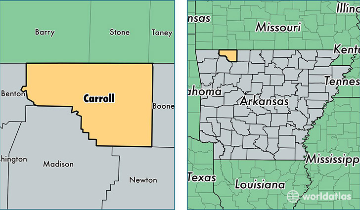
Carroll County is a county equivalent area found in Arkansas, USA. The county government of Carroll is found in the county seat of Eureka Springs.
With a total 1,654.02 sq. km of land and water area, Carroll County, Arkansas is the 1617th largest county equivalent area in the United States. Home to 27,744 people, Carroll County has a total 13507 households earning 36584 on average per year.
Carroll County, Arkansas - Quick Facts
| FIPS Code | 5015 |
| Area Codes | 870,479 |
| Time Zone | CST |
| Major Cities | Berryville (population: 10,503), Eureka Springs (population: 8,206), Green Forest (population: 7,226), Alpena (population: 1,710), Oak Grove (population: 527) |
| Land Area | 10,712 sq miles |
| Water Area | 630 sq miles |
| Household Income | $36,584 |
| Housing Units | 13,507 |
| Median Home Value | $120,000 |
| High School Grads | 85% of population |
| Holders of Bachelors Degrees | 17% of population |
| Retail Spending | $9,728 per capita |
| Food & Accomodation Sales | $53,966 per capita |
This page was last updated on June 30, 2016.