Where is Washington County, Arkansas?
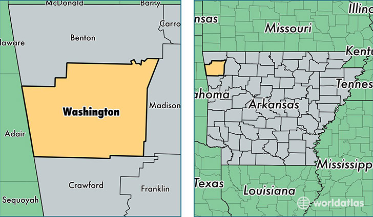
Washington County is a county equivalent area found in Arkansas, USA. The county government of Washington is found in the county seat of Fayetteville.
With a total 2,466.73 sq. km of land and water area, Washington County, Arkansas is the 834th largest county equivalent area in the United States. Home to 220,792 people, Washington County has a total 88895 households earning 41248 on average per year.
Washington County, Arkansas - Quick Facts
| FIPS Code | 5143 |
| Area Codes | 479 |
| Time Zone | CST |
| Major Cities | Fayetteville (population: 93,048), Springdale (population: 89,163), Prairie Grove (population: 8,262), Farmington (population: 7,896), West Fork (population: 6,372), Lincoln (population: 5,562), Winslow (population: 2,893), Summers (population: 1,209), Canehill (population: 1,115), Evansville (population: 291) |
| Land Area | 85,248 sq miles |
| Water Area | 942 sq miles |
| Household Income | $41,248 |
| Housing Units | 88,895 |
| Median Home Value | $148,800 |
| High School Grads | 83% of population |
| Holders of Bachelors Degrees | 29% of population |
| Retail Spending | $13,987 per capita |
| Food & Accomodation Sales | $355,688 per capita |
| Universities and Colleges | University of Arkansas Main Campus |
This page was last updated on June 30, 2016.