Where is Dewitt County, Illinois?
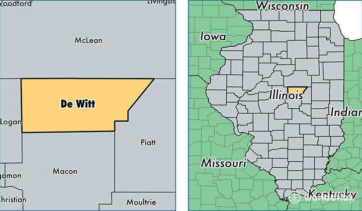
Dewitt County is a county equivalent area found in Illinois, USA. The county government of Dewitt is found in the county seat of Clinton.
With a total 1,049.16 sq. km of land and water area, Dewitt County, Illinois is the 2575th largest county equivalent area in the United States. Home to 16,284 people, Dewitt County has a total 7489 households earning 51051 on average per year.
Dewitt County, Illinois - Quick Facts
| FIPS Code | 17039 |
| Area Codes | 217,309 |
| Time Zone | CST |
| Major Cities | Clinton (population: 9,938), Farmer City (population: 2,962), Wapella (population: 944), Weldon (population: 707), Waynesville (population: 677), Kenney (population: 551), Dewitt (population: 416), Lane (population: 131) |
| Land Area | 6,287 sq miles |
| Water Area | 398 sq miles |
| Household Income | $51,051 |
| Housing Units | 7,489 |
| Median Home Value | $107,100 |
| High School Grads | 93% of population |
| Holders of Bachelors Degrees | 17% of population |
| Retail Spending | $11,527 per capita |
| Food & Accomodation Sales | $13,923 per capita |
This page was last updated on June 30, 2016.