8 Most Beautiful Lakes In South Dakota
Featuring towering mountain ranges, rolling prairies, rugged Badlands, lush green forests, and meandering rivers, the US State of South Dakota is well-known for its diverse geography. In addition, the eastern portion of the state is home to several lakes, most of which have been created during the periods of glaciation and vary greatly in terms of their shape, size, and depth. The state’s natural and artificial lakes serve as popular natural retreats for residents and tourists alike, offering an array of outdoor recreational opportunities all year round. So, if one wishes to enjoy some adventure or soak in the serenity of nature, these crystal-clear lakes of Mount Rushmore State offer a perfect escape from the hustle and bustle of daily city life.
Lake Oahe

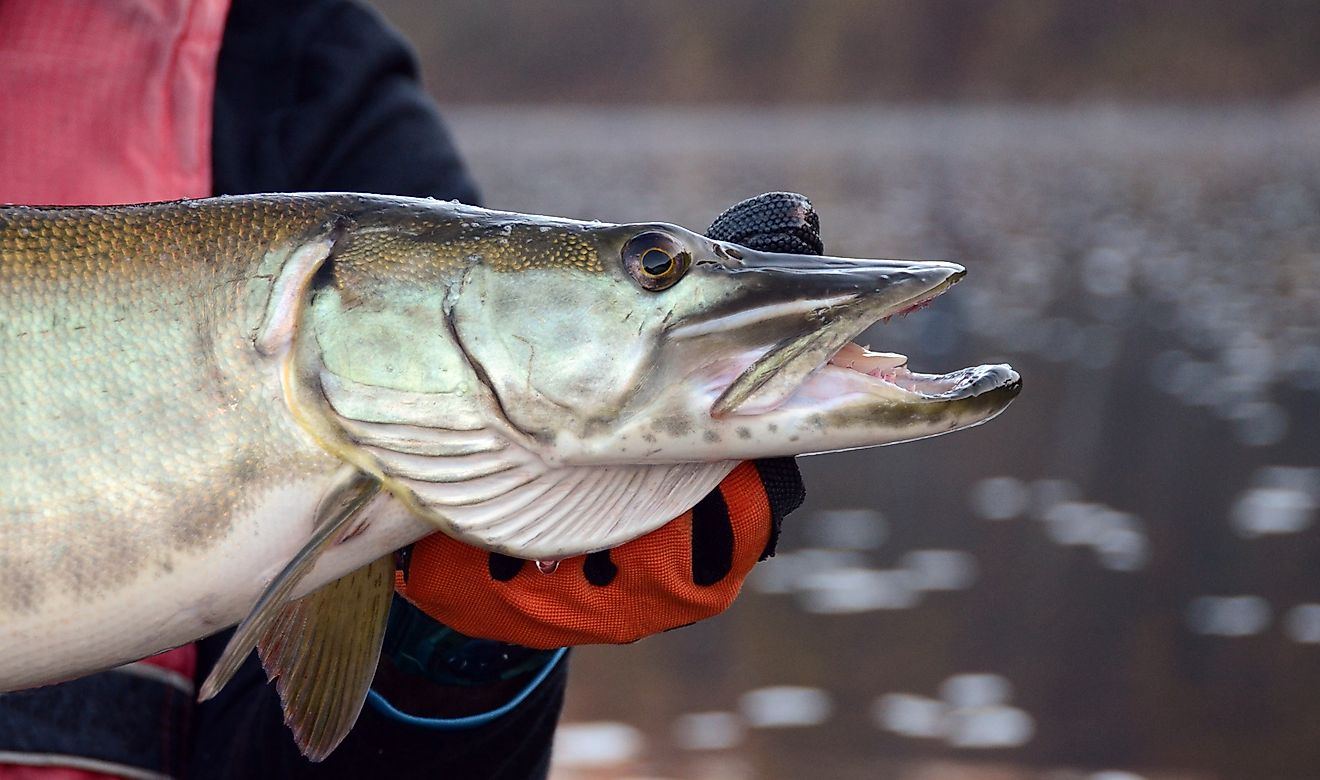
Created by the construction of the Oahe Dam on the Missouri River, this large reservoir in central South Dakota stretches for about 231 miles, beginning immediately north of Pierre – the state capital, and extending as far as the northern part of Bismarck – the capital city of North Dakota. Placed at a surface elevation of 1,647 ft, the lake covers an area of 370,000 acres and reaches a maximum depth of 205 ft. Named after the 1874 Oahe Indian Mission, Lake Oahe holds a water volume of 23,500,000 acre-ft, making it the country’s fourth-largest reservoir by volume. With a 2,250-mile-long shoreline and 51 public recreation areas along it, Lake Oahe attracts over 1.5 million visitors annually.
The lake is crossed by bridges carrying U.S. Route 212 west of Gettysburg and U.S. Route 12 at the city of Mobridge. The Cheyenne River Indian Reservation and the Standing Rock Indian Reservation occupy a significant portion of the lake’s western shoreline. The shoreline and public lands around the lake thus contain many artifacts and cultural resources that are traditionally important for the Native American tribes who formerly inhabited and traveled through the region. Moreover, Lake Oahe also supports several fish species, including walleye, channel catfish, Chinook salmon, northern pike, smallmouth bass, and the endangered pallid sturgeon. The public recreation areas along the lake offer visitors a variety of recreational activities like fishing, boating, camping, picnicking, hiking, and hunting. Besides recreation, Lake Oahe provides irrigation, flood control, and hydroelectric power generation to many Midwestern states.
Big Stone Lake

Formed by the construction of the Big Stone Lake Dam on the Minnesota River, this storage reservoir is placed on the boundary between the northeastern part of South Dakota and the western part of Minnesota. Covering an area of 12,610 acres, the lake has a maximum length of 26 miles, a maximum width of 1 mile, and reaches a maximum depth of 16 ft. Placed at an elevation of 965 ft, Big Stone Lake is the lowest point of South Dakota. Named after the adjacent rock outcroppings, the lake receives its primary inflows from the Little Minnesota River, which flows through the Traverse Gap at the lake’s northern end.
It is believed that the Big Stone Lake was formed close to the end of the Last Ice Age when the extinct glacial Lake Agassiz flowed through the Traverse Gap into the glacial Warren River. This freshwater lake is surrounded by two state parks: South Dakota’s Hartford Beach State Park and Minnesota’s Big Stone Lake State Park. The lake supports several fish species like walleye, bluegills, northern pike, yellow perch, black crappie, channel catfish, etc. Stocked with over 7,000,000 walleye fry every two years, the lake offers 12 public accesses for fishing use by the anglers. Besides fishing, the state parks offer many recreational opportunities like camping, trailing, boat launching, and picnicking. South Dakota’s Big Stone City and Minnesota’s Ortonville are located along the southern extremity of the lake, while Minnesota’s Browns Valley is along the northern end.
Angostura Reservoir
In 1949, the construction of the Angostura Dam on the Cheyenne River led to the creation of the Angostura Reservoir. Located just a few miles from the city of Hot Springs in South Dakota’s Fall River County, this reservoir covers an area of 4,407 acres and reaches a maximum depth of 75 ft. Placed at the southeastern edge of the Black Hills at a surface elevation of 3,127 ft, the reservoir is surrounded by the Angostura Recreation Area, which offers various outdoor recreational activities like fishing, boating, hiking, camping, birdwatching, and swimming. The Angostura Reservoir supports several fish species, such as northern pike, sunfish, walleye, and smallmouth bass. Being the sole large waterbody in an isolated area of the state’s arid southwestern part, the reservoir attracts many migrating waterbirds.
Horse Thief Lake

Situated on State Highway 244 about two miles northwest of the Mount Rushmore National Memorial, the Horse Thief Lake is a beautiful lake in South Dakota’s Pennington County. Placed at a surface elevation of 4,905 ft, the Horse Thief Lake has been named after the fact that a gang of horse thieves formerly operated in the area. The lake is well-known for trout fishing from non-motorized boats and especially for ice fishing during the winter months. Adjacent to the Horse Thief Lake is the Horse Thief Lake Campground which acts as an ideal destination attracting visitors to spend some peaceful time in the Black Hills National Forest.
Pactola Lake

Created in 1952 by the construction of Pactola Dam on Rapid Creek, the Pactola Lake is located approximately 15 miles west of Rapid City in South Dakota’s Pennington County. Boasting a 14-mile-long shoreline, a surface area of 800 acres, and a maximum depth of 150 ft, Pactola Lake is the Black Hills’ biggest and deepest reservoir. Named after the inundated mining town of Pactola, the shimmering waters of Pactola Lake supports a number of fish species like lake trout, brown trout, rainbow trout, bass, and perch. Surrounded by verdant forests and rugged cliffs, the lake area offers an array of outdoor recreational opportunities like fishing, boating, swimming, camping, hiking, and wildlife viewing. Besides anglers, the lake is also popular with scuba divers who come to witness the limited remnants of the mining town.
Lake Poinsett
One of the state’s largest natural lakes, Lake Poinsett is situated northeast of the town of Arlington. The lake has been named after Joel Roberts Poinsett - the U.S. Secretary of War, who was instrumental in funding the expedition of American explorers John Charles Fremont and Joseph Nicolas Nicollet, who first camped on the northern shores of the lake in 1838. A part of a chain of connected lakes, the lake receives most of its inflows from the Dry Lake subwatershed as well as from Lake Albert. Covering a surface area of 7,903 acres, the lake has 15 miles of shoreline and reaches a maximum depth of 22 ft.
Holding about 2.5 billion gallons of water, the lake supports plenty of game fish. The Lake Poinsett Recreation Area is well-known for its fishing and water-based recreational activities, besides 108 electric campsites and 6 tent camping cabins. In addition, the recreation area is home to the Lake Poinsett Visitor Center and Museum, which showcases various artifacts from the area and takes one on a journey through the lake’s history from prehistoric times to the late 1990s.
Sheridan Lake

Created in 1939 by the construction of Sheridan Dam on Spring Creek, Sheridan Lake is located approximately 15 miles west of Rapid City in South Dakota’s Pennington County. Covering a surface area of just 375 acres, Sheridan Lake is one of the popular recreational areas of the Black Hills National Forest. Surrounded by rolling hills and lush pine forests, the lake supports two campgrounds, two swimming beaches, various picnic and overlook areas, a marina, and many hiking trails that wind through the hills. Formerly home to a large number of northern pike, the lake at present hosts different fish species like trout, perch, bass, etc.
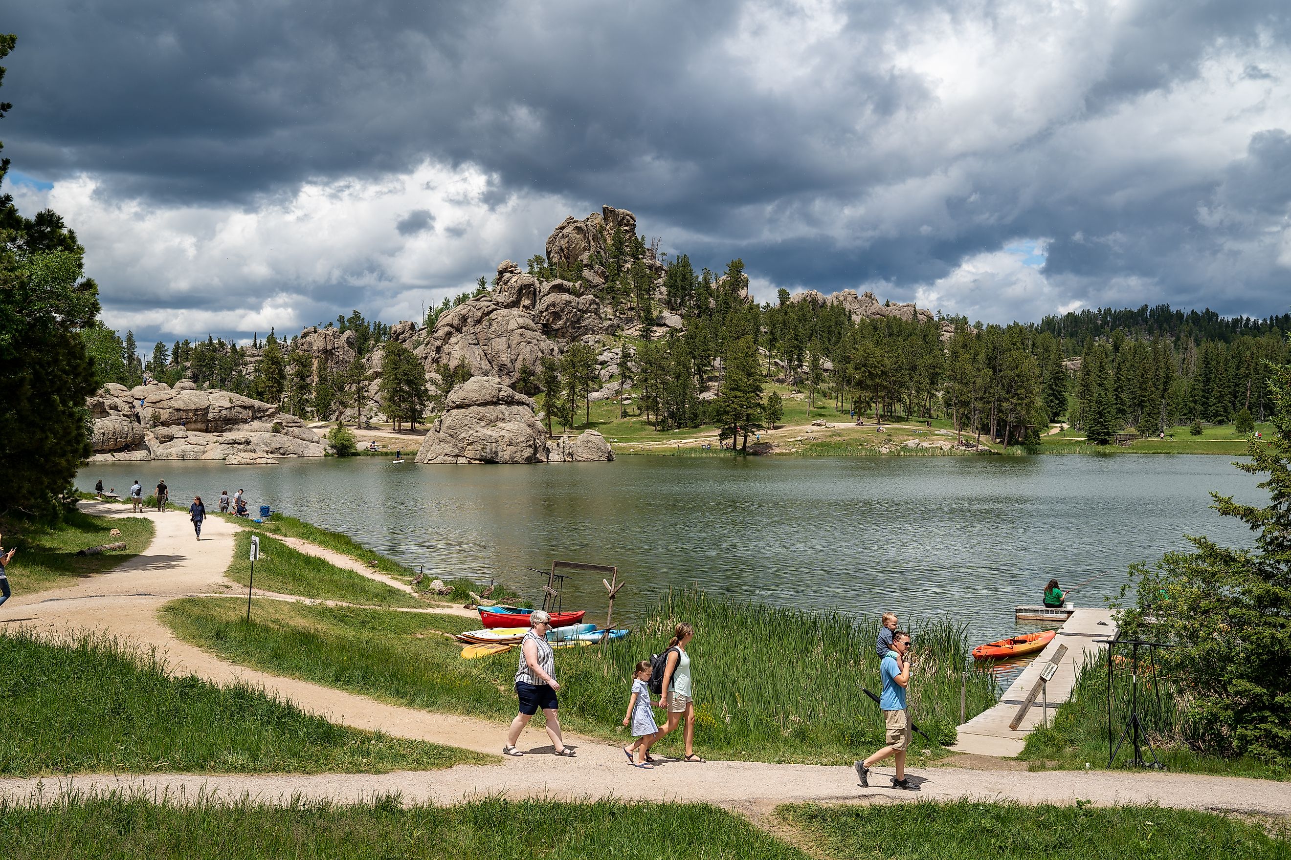
Sylvan Lake

Formed in 1891 by the construction of the Sylvan Lake Water Dam across Sunday Gulch Creek, Sylvan Lake occupies the heart of Custer State Park among the Black Hills of South Dakota. Located approximately 5 miles southwest of Mount Rushmore, Sylvan Lake covers a surface area of 17.3 acres and reaches a maximum depth of 30 ft. Surrounded by magnificent granite peaks, beautiful rock formations, and tall pine trees, the lake area serves as a beginning point for expeditions to The Needles and the Black Elk Peak. The Sylvan Lake area also offers various outdoor recreational activities like swimming, boating, picnicking, hiking, and rock climbing.
The above-mentioned 8 lakes are some of the most scenic bodies of water in the nation’s 17th largest and 5th least populous state. Each of these picturesque lakes attracts thousands of tourists from all over the globe, who come to witness the breathtaking vistas and participate in various recreational activities. The surrounding forests and mountain ranges offer an array of hiking trails that are perfect for surveying the natural beauty of the region. So, whether one wishes to have some adventure or quietly reconnect with nature, the South Dakota lakes will indeed provide a memorable experience for all.