Salt Spring Island
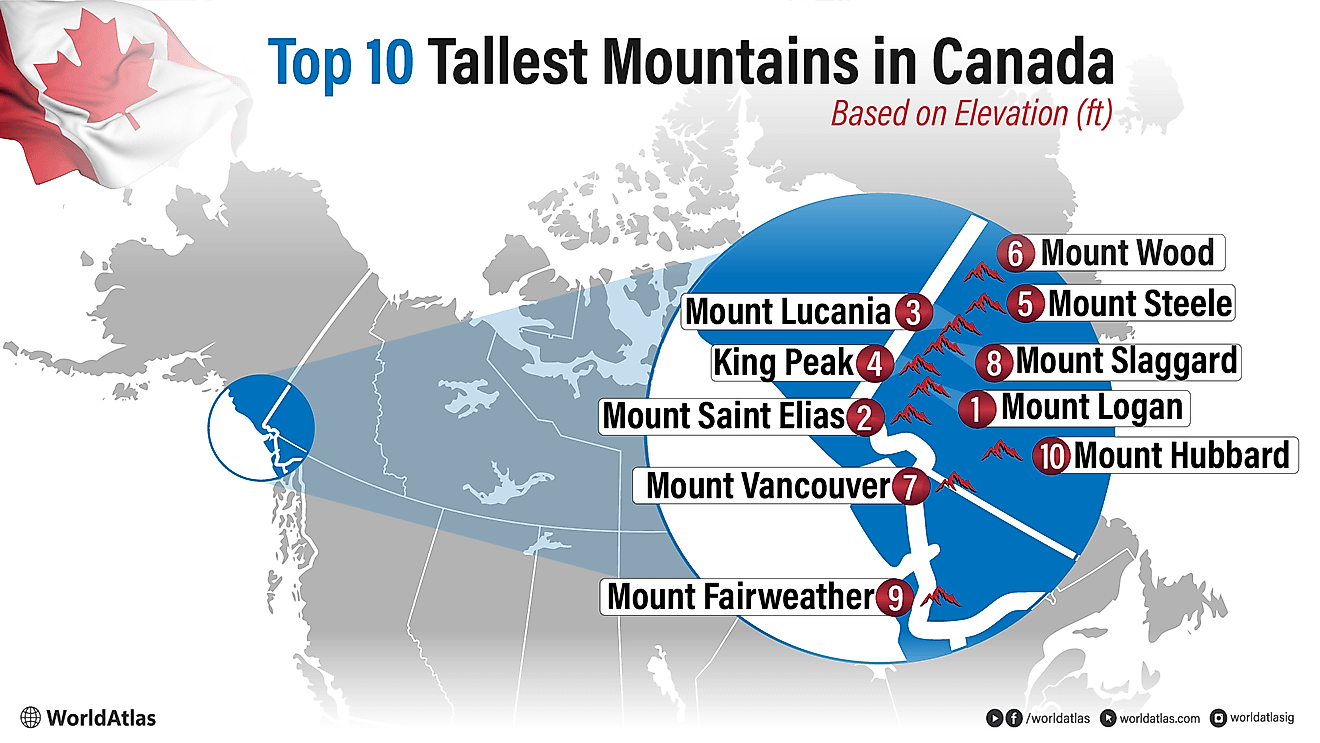
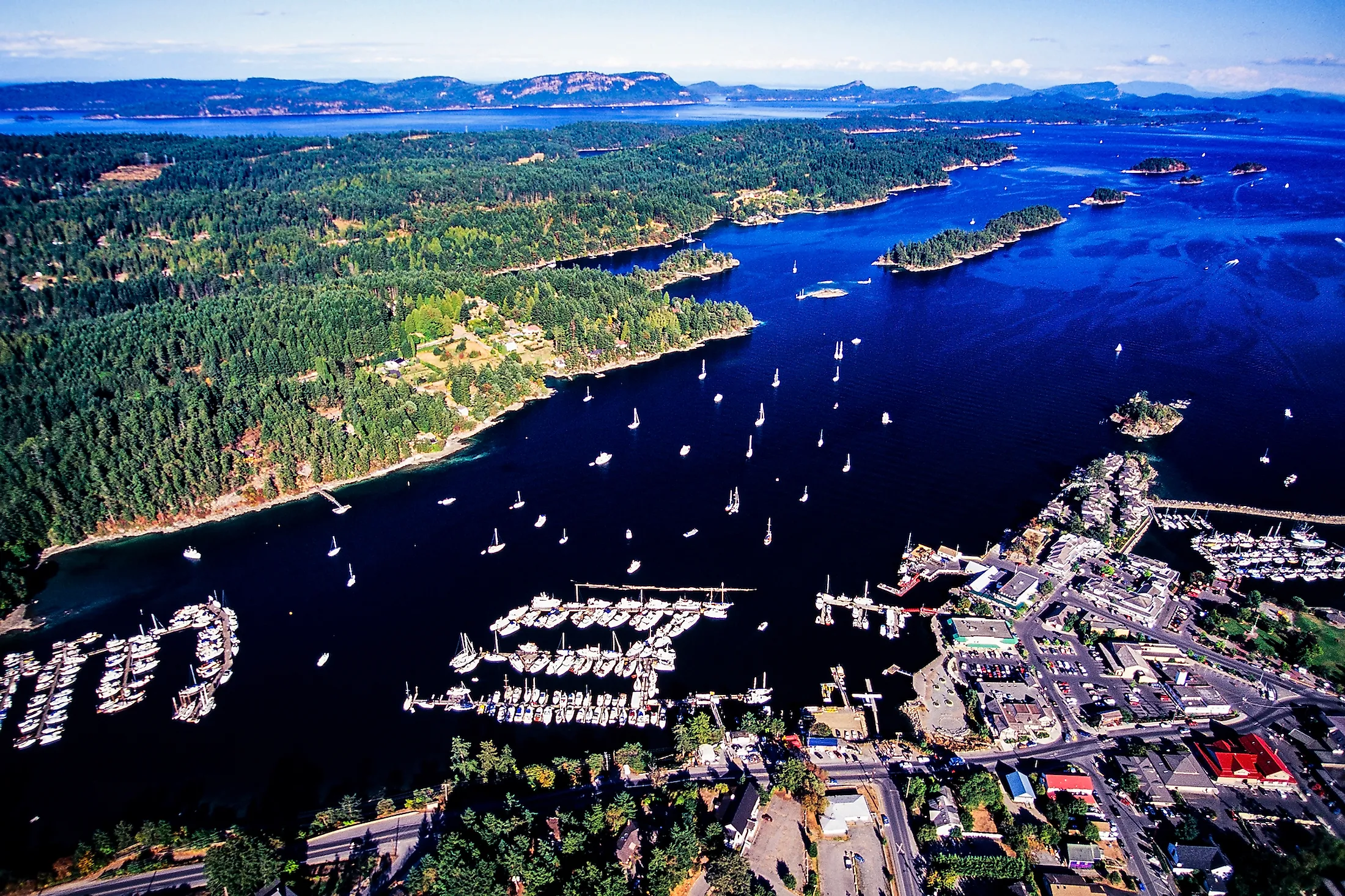
Salt Spring Island is one of the large Gulf Islands situated in the Strait of Georgia of the Salish Sea between the mainland of the Canadian province of British Columbia and 456km long Vancouver Island. Salt Spring Island has been named after the salt springs that are found in the island’s northern portion. Besides being the largest and most densely populated, the Salt Spring Island is also the most visited among all the Southern Gulf Islands.
Geography
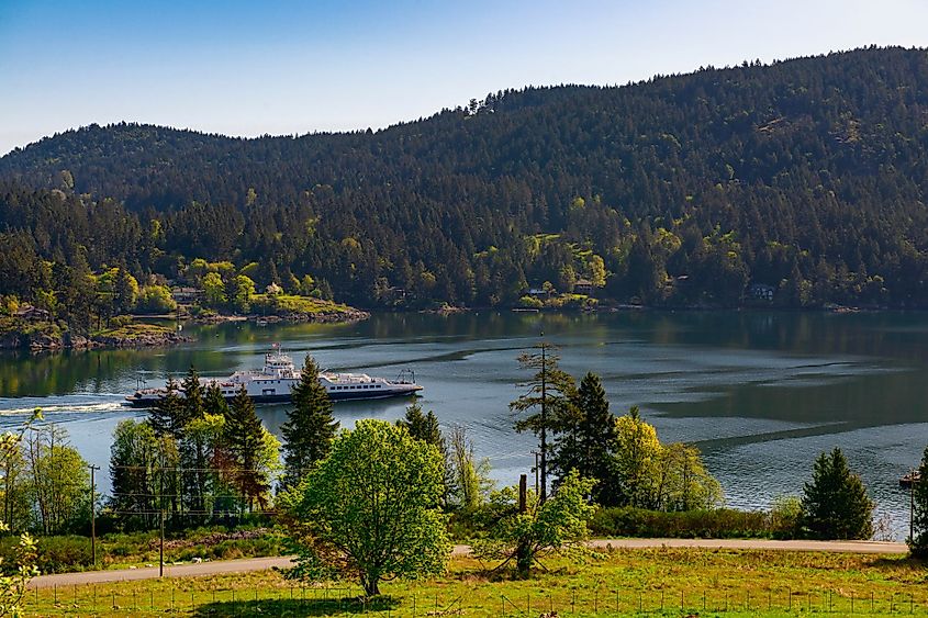
The Salt Spring Island along with four other Gulf Islands forms a part of the Southern Gulf Islands, all of which are administered under the Capital Regional District of the Canadian Province of British Columbia. Covering an area of 182.7 sq. km and with an estimated population of 10,557 inhabitants, the Salt Spring Island is considered to be the largest and the most populous of the Southern Gulf Islands. Salt Spring Island has a length of 27km, a maximum width of 14km, and 133km of shoreline. About 14 salt springs which vary in size from 1m to 25m are located in the northern portion of the island. Ganges, Fulford, Vesuvius, and Fernwood are the four villages on Salt Spring Island. Located at the heart of Salt Spring Island, Ganges is the largest and the principal village of Salt Spring Island. Bruce Peak which rises to an elevation of 709m is the highest point on Salt Spring Island.
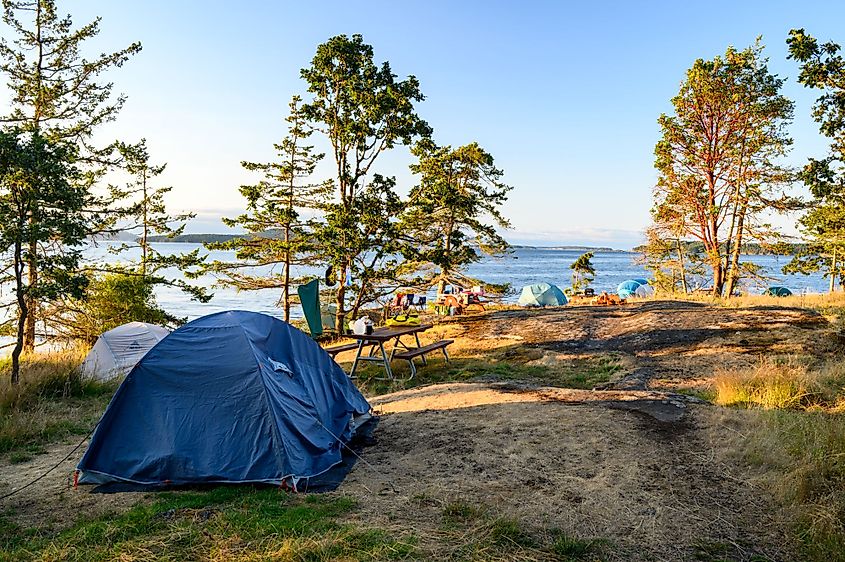
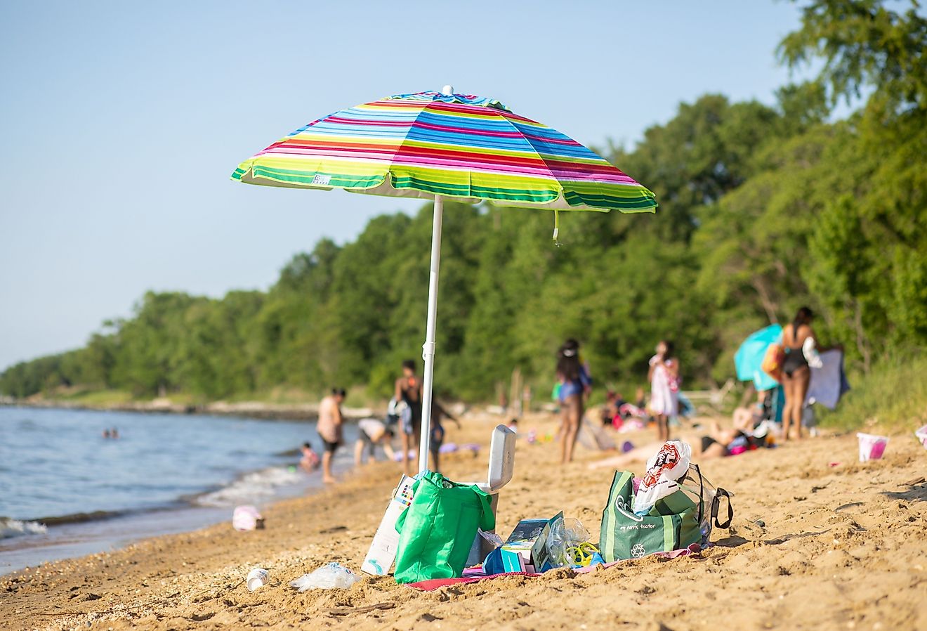
There are several hiking trails on Salt Spring Island. Of these, two rough and windy trails lead to the two high summits on the mountainous southern portion of the island: Bruce Peak at 709m and Mount Tuam at 602m. The summit of Mount Erskine can be reached via a 2.5km hike and the Reginald Hill via a 1.5km steep hike. The three lakes on Salt Spring Island including Cusheon Lake, Stowell Lake, and Weston Lake offer many recreational opportunities including freshwater swimming, trout and bass fishing, etc. Located approximately 9km to the northeast of Fulford Harbor is the Ruckle Provincial Park, which is considered one of the largest Gulf Island provincial campgrounds.
Climate
As per the Köppen climate classification, Salt Spring Island experiences a “temperate oceanic climate” with dry, cool summers and wet, cold winters. The summers are dry due to the island’s location in a rain-shadow area. Also, since the island lies in the path of the mid-latitude cyclones that move in the eastward direction with the westerly winds, the winters are comparatively wet and cooler in Salt Spring Island. The mild climate attracts a large number of tourists and prospective residents to the island.
Naming the Island
The Cowichan people initially named the island “Klaathem”, while the Saanich people referred to as “Chuan” or “Chouan”. The Island was officially renamed “Admiralty Island” by Captain Richards in 1859, in the honor of Sir Robert Lambert Baynes who served as the Rear-Admiral of HMS Ganges. The Island was rechristened as “Saltspring” as per the records of the Geographic Board of Canada on March 1, 1910, referring to the salt springs that are situated in the northern part of the island. Currently, both the “Saltspring” and “Salt Spring” spellings of the name are accepted.
Brief History
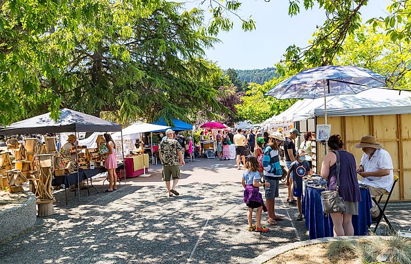
It is believed that the Salt Spring Island was initially inhabited by various Salishan tribes and has been a part of the traditional territory of the Saanich, Cowichan, and Chemainus First Nations for at least 5,000 years. In 1859, the island was settled by the African Americans who escaped to the island from California after facing racial discrimination. In addition to the African Americans, the early settlers on the island also included British settlers, European immigrants, First Nation people, Hawaiians, etc. The Salt Spring Island was the first among all the other Gulf Islands to be inhabited by people who did not belong to the First Nations. Salt Spring Island was also the premier agricultural settlement that was established in the Vancouver Island Colony and was not owned by either the Puget Sound Agricultural Company or the Hudson’s Bay Company. The Salt Spring Island was also the region’s first island that permitted the settlers to buy land through the right of pre-emption. The Island also served as a political refuge for the citizens of the United States especially the draft evaders during the Vietnam War in the 1960s. During this time, various artists, musicians, basket makers, papermakers, potters, painters, entrepreneurs, etc also arrived on Salt Spring Island. In September 2001, the Salt Spring Island Monetary Foundation started issuing the local currency Salt Spring Dollar that is accepted by most of the island’s banks and businesses besides the Canadian dollars.
