Where Is The Strait Of Georgia Located?
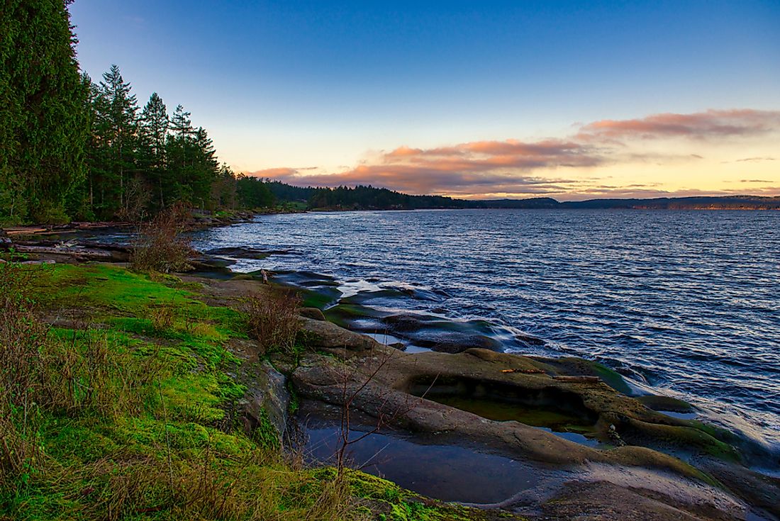
The Strait of Georgia occupies a surface area of about 2,600 square miles. The strait averages 150 miles in length, spanning from British Columbia’s coast to Vancouver Island. The straits of Haro and Rosaria, together with the Boundary Pass, mark the southernmost part of the strait, while the Discovery Passage is the strait’s northernmost section. The Strait of Georgia has an average depth of 515 feet and plunges 1,470 feet at its deepest point. The depth of the strait was altered in 1946 after a powerful earthquake struck the region that caused the strait’s Deep Bay to sink as much as 85 feet. The strait has a maximum width of 36 miles and stretches 20 miles across at its narrowest section. The primary inlet to the strait is the Fraser River, whose water accounts for about 80% of the fresh water flowing into the strait.
Human Settlement
Two of the largest islands in the strait are the Texada and Quadra Islands. Washington borders the strait on the American side and British Columbia on the Canadian side. Two of Washington’s counties touch the strait, Whatcom and San Juan counties, while Greater Vancouver, Nainamo, Whatcom, Comox Valley, Sunshine Coast, Strathcona, Cowichan Valley, Capital, and Powell River are the regional districts that lie on the strait’s Canadian side. The area surrounding the strait is densely populated and has numerous cities and towns. Some of the major urban regions around the strait include Nainamo, Parksville, Courtenay, Powell River and Bellingham.
Naming
18th-century British explorer, George Vancouver is credited with the current name of the strait, which he named after Great Britain’s King George III in 1792. A movement was started among members of the Chemainus First Nation in the early 21st century that aimed at giving the strait a new name, the Salish Sea. While the governments of the two countries supported the renaming, their definition was different, and instead considered the Salish Sea as encompassing the three straits found in the region. A popular Vancouver publisher, "The Georgia Straight," is named after the Strait of Georgia.
The Georgia Strait Bridge
The bridge is a theoretical idea of constructing a bridge across the Strait of Georgia to connect British Columbia to Vancouver Island. The idea was first proposed in the late 19th century. A model of the bridge was even exhibited during the 1986 World Expo in Vancouver. The idea has attracted domestic support and criticism in equal measure. Some people think that the bridge would be beneficial for Vancouver Island by making access to the island faster and drawing in tourists and investors. One challenge the proponents of the bridge’s construction should consider is the depth of the strait, and if implemented the strait would become the deepest bridged water body on earth. Another structural drawback is the instability of the strait’s floor since the strait sits on an area with so much seismic activity. The other major challenge is the high traffic of ships on the strait, with the Strait of Georgia having two of the busiest routes for British Columbian ships.


