Best Mountain Towns In Switzerland
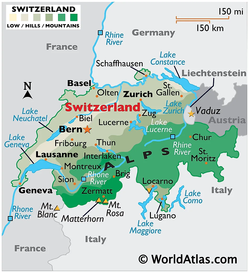
Switzerland has 48 mountains above 4,000 meters, more than any other country in Europe, and a railway network that puts most of the dramatic ones within a half-day's ride of Zurich, Geneva, or Bern. The eight mountain towns below cluster mostly in the Bernese Oberland and the Valais (where the highest concentration of 4,000-meter peaks sits), with extensions south into Italian-speaking Ticino and the Romansh-influenced Bregaglia. Four of the eight are car-free and reachable only by train or cable car. Most can be reached from a major Swiss airport in under three hours by rail, and the Swiss Travel Pass covers nearly every train, bus, and boat involved.
Interlaken

Interlaken (population about 5,700) is the largest town on this list and the natural starting point for anyone heading deeper into the Bernese Oberland. The name means "between the lakes," and the town sits on the narrow strip of land between Lake Thun to the west and Lake Brienz to the east, looking south to the Eiger, Mönch, and Jungfrau. The Höhematte, the 14-hectare central meadow that survived the construction boom of the 19th century thanks to a preservation contract signed by local hoteliers in 1864, is the most distinctive piece of Swiss town planning anywhere in the Alps. From Interlaken Ost station, the Bernese Oberland Railway branches into the two valleys that contain most of the other towns on this list. Bern is 50 minutes away by direct train, Zurich about two hours.
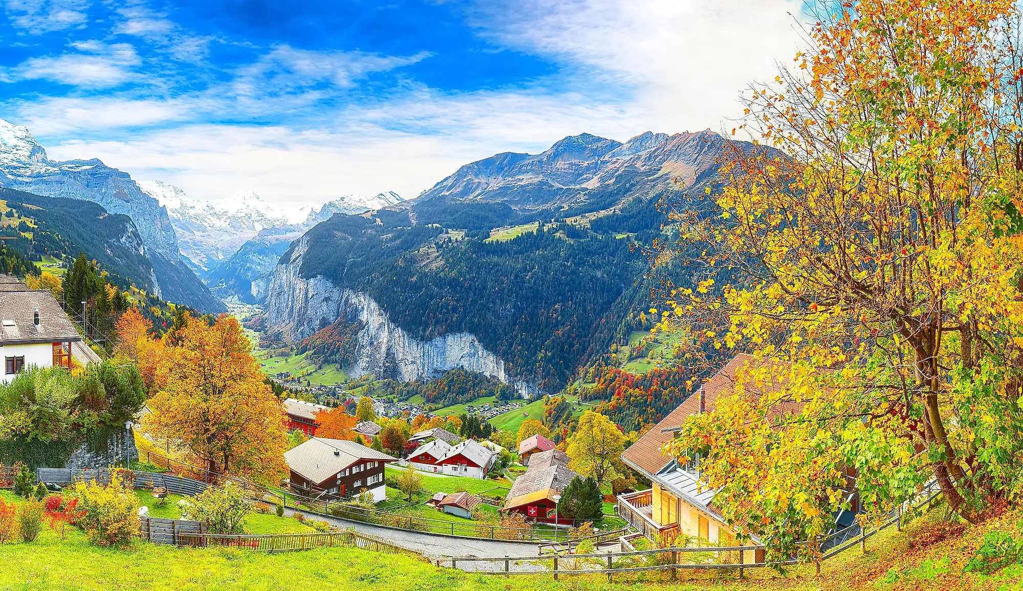
Lauterbrunnen

Lauterbrunnen (population about 800) sits in a glacially carved U-shaped valley with sheer 500-meter cliffs on both sides and 72 waterfalls running down them. The most famous is Staubbach Falls (Staubbachfall), a 297-meter free-fall that ranks among the highest in Europe and inspired Johann Wolfgang von Goethe to write "Gesang der Geister über den Wassern" ("Song of the Spirits Over the Waters") after visiting in 1779. The valley has often been cited as one of the visual sources behind the elven city of Rivendell in J.R.R. Tolkien's Middle-earth; Tolkien hiked here in 1911, and the artist Alan Lee's later illustrations drew heavily on the topography. The name "Lauterbrunnen" most accurately translates as "loud springs" (lauter as "loud", brunnen as "springs"), not the often-repeated "many fountains." The village itself is a strung-out single street along the valley floor, with the Wengernalp Railway and the cable car to Mürren and Gimmelwald both leaving from the central station.
Wengen

Wengen (pronounced VEN-gen) sits on a sun-facing ledge 400 meters above the Lauterbrunnen valley floor and has been car-free since the Wengernalp Railway opened in 1893. Year-round population is about 1,300, swelling to roughly 10,000 in ski season. The town's main international fame comes from the Lauberhorn downhill, run on the slopes above Wengen since 1930 and at 4.48 km the longest course on the FIS Alpine Ski World Cup circuit (winning skiers regularly hit 160 km/h on the Haneggschuss section). Continuing up the Wengernalp Railway from Wengen leads to Kleine Scheidegg, the alpine pass that sits face-to-face with the Eiger's north wall, the Eigerwand, which German speakers darkly nickname the Mordwand (the "murder wall") after the climbing fatalities of the 1930s. From Kleine Scheidegg, the Jungfrau Railway climbs a further 1,400 meters through a tunnel inside the Eiger and Mönch to Jungfraujoch at 3,454 meters, the highest railway station in Europe; the line was the work of industrialist Adolf Guyer-Zeller and took 16 years to build, opening in 1912.
Gimmelwald

Gimmelwald (population about 130) is reached only by cable car from Stechelberg at the south end of the Lauterbrunnen valley, or by a steep hiking trail. The village is officially classified as an avalanche-protection zone, which is why new construction has been all but frozen for decades and the place still looks like an 1880 postcard of itself. Thirteen working farms anchor the local economy, and several sell direct from the farmhouse: sheep cheese, raw cow's milk, dried beef. American travel writer Rick Steves built much of his European-budget brand around Gimmelwald starting in the 1980s and called it his favorite place in the Alps; the resulting English-speaking pilgrimage is real and visible in the summer guest mix. Mürren, three minutes further up the cable car, is larger (population about 450), has the same car-free terms, and serves as the obvious second stop for anyone going to the trouble of getting up here.
Zermatt

Zermatt (population about 5,800, canton Valais) sits at 1,620 meters at the foot of the Matterhorn (4,478 meters), the most recognizable mountain in Europe and the silhouette behind the Toblerone chocolate logo and the Disneyland Matterhorn Bobsleds. The town has been car-free since 1947; visitors arrive on the Matterhorn Gotthard Bahn from Visp or on the Glacier Express from St. Moritz. The Matterhorn was first climbed on July 14, 1865 by a party led by English mountaineer Edward Whymper. Seven climbers reached the summit; only three came back. A rope broke during the descent and four men fell 1,200 meters to their deaths on the Matterhorn Glacier; three of the bodies were recovered and now lie in the Mountaineers' Cemetery in Zermatt, where the headstones still draw climbers paying respects 160 years later. The Gornergrat Railway, a cogwheel line opened in 1898, climbs to 3,089 meters for the famous frontal view of the peak.
Montreux

Montreux (population about 26,500, canton Vaud) sits on the eastern arc of Lake Geneva with the Alps rising behind it on the Vaud-Valais border. The town has accumulated more pop-cultural connections per square meter than perhaps anywhere else in Switzerland. The Château de Chillon, the medieval water-bordered castle just east of town, is the setting of Lord Byron's 1816 narrative poem The Prisoner of Chillon, written after Byron carved his name into a pillar in the dungeon (the carving is still visible on the standard tour). The Montreux Jazz Festival, founded by Claude Nobs in 1967, has become one of the most prestigious music festivals in the world and runs for two weeks every July. The festival's accidental contribution to rock history was the December 4, 1971 fire that destroyed the Montreux Casino during a Frank Zappa concert, an event Deep Purple watched from across the lake and recorded as "Smoke on the Water" weeks later. Freddie Mercury bought the Mountain Studios on the lakefront in 1979, lived in Montreux on and off until his death in 1991, and recorded much of Made in Heaven there with Queen; a Mercury statue stands on the lakeside Quai des Fleurs.
Soglio

Soglio (population about 200, canton Graubünden) hangs on a sunlit terrace 1,090 meters above the floor of the Bregaglia Valley near the Italian border. The light, the stone buildings, and the chestnut groves below the village inspired the painter Giovanni Segantini to call Soglio "the threshold to paradise" (sometimes loosely rendered as "the gateway to paradise") in a letter from 1894, and the line has stuck. The village's centerpiece is the 17th-century Palazzo Salis, built by the powerful Salis family who controlled the Bregaglia trade route between the Engadin and Italy, now run as a hotel. The campanile of the Church of San Lorenzo (the Italian spelling, since the surrounding population is Italian-speaking) is the most photographed local landmark. The hiking trail down to Castasegna in the valley is the original mule track on which the chestnut harvest was carried out of the village for centuries.
Morcote

Morcote (population about 750, canton Ticino) sits on the southwestern shore of Lake Lugano in Italian-speaking southern Switzerland, where the Alps have largely given way to forested foothills and the climate edges into sub-Mediterranean. The village was a working fishing and trading port until the 19th-century railway boom shifted lake traffic elsewhere, and the result is an intact stretch of waterfront that climbs steeply up to the 16th-century Santa Maria del Sasso church (the bell tower is at the top of 404 stone steps). Morcote was voted the most beautiful village in Switzerland in 2016 in the Swiss federal tourism office's national vote. Just east of the village, Parco Scherrer is a 1930s botanical-and-architectural garden built by silk industrialist Hermann Arthur Scherrer that mixes Mediterranean flora with replicas of Egyptian, Indian, and Siamese pavilions; it is the most eccentric attraction in any village on this list.
Comparing The Eight
The eight towns split roughly into three groups. The Bernese Oberland cluster (Interlaken, Lauterbrunnen, Wengen, Gimmelwald) shares one railway system and is the busiest by visitor numbers, with the Eiger-Mönch-Jungfrau peaks as the dominant skyline. Zermatt is a category of one: the Matterhorn village, with its own mountaineering history and its own railway network. The two lake towns (Montreux on Lake Geneva, Morcote on Lake Lugano) trade the high-altitude register for milder weather, lake swimming, and a heavier cultural calendar. Soglio is the outlier, sitting in the Romansh-Italian linguistic borderlands of the southeast and a different visual palette than the others. The Swiss Travel Pass at 4, 8, or 15 consecutive days covers all eight, with the Jungfraujoch railway as the major out-of-pocket extra (about CHF 240 round-trip from Interlaken Ost as of 2025).