Across regional Victoria, a handful of tiny towns still feel set apart from the faster rhythms of modern life. In Walhalla, a narrow valley setting and a single main access road make the old gold town feel physically tucked away from the rest of Gippsland. Dargo carries that same sense of remoteness in a different way, with mountain roads, alpine tracks, and a long-standing role as a service town for the high country. Far to the east, Mallacoota feels even more self-contained, thanks to its inlet setting, surrounding national parkland, and clear distance from larger population centers. Together, these seven Victorian towns stand out not because they are truly off-grid, but because their geography still makes them feel wonderfully removed from the modern rush.
Walhalla
Gorgeous Walhalla, Victoria, Australia Image credit: Prab Prab / Shutterstock.com
Walhalla is a town situated in a very deep valley in the Gippsland region of Victoria, where Stringers Creek flows through densely forested mountains. The discovery of gold in the region's quartz reefs during the 1860s made the small valley one of the most important goldfields of Victorian history. Today, the town is sparsely populated. The most important historical site is the Long Tunnel Extended Mine, which was one of the most productive gold mines in Victorian history, producing large quantities of gold before it was closed in the early twentieth century. Today, visitors can take a tour through the mine. Furthermore, the Walhalla Goldfields Railway is a heritage railway that runs along the Thomson River, following the original route used to bring supplies into the valley. Not to mention, the main street of Walhalla is still confined to the small valley through which the creek runs and features preserved buildings such as the Star Hotel and the Walhalla Post Office. Nearby, the Walhalla Cemetery is located on a hillside overlooking the valley and surrounding forest. Because of its location in a valley surrounded by steep mountains and only one road being available to enter the valley, Walhalla is still one of Victoria’s most isolated historic towns.
Dargo
Distance view of the Dargo Hotel in Dargo, Victoria, Australia.
Dargo is situated in Victoria’s Alpine region, where the Wonnangatta River flows out of rugged mountain country. The town was established during Victoria’s gold rush in the 1860s and served as a base for cattle stations in the high country. The Dargo Hotel, built in 1898, is still used today as a central meeting place for locals and those heading into the mountains. There are stores available for those wishing to venture into the wilderness surrounding the town. Additionally, the nearby Wonnangatta River is available for those who wish to go trout fishing or set up camp along its banks. In addition, the Dargo High Plains Road runs from the valley up into the high country through open alpine terrain featuring snow gums. There are several well-known four-wheel-drive tracks branching off this road into the extensive Alpine National Park. As illustrated above, the mountain ranges surrounding Dargo ensure that this town is still a useful service town for one of Victoria’s most remote alpine regions.
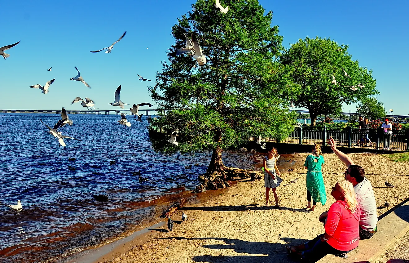
Mallacoota
Seashore near Mallacoota, Victoria, Australia.
Near Victoria’s eastern border, the small town of Mallacoota is located beside a large coastal inlet, mostly surrounded by wilderness. This fishing village, established in the late nineteenth century, still has a population of over a thousand people. The town centers on Mallacoota Inlet, where fishing boats set sail each day, and people can kayak through the forested waters. Other boat tours go to Gabo Island, where a granite lighthouse built in the 1860s towers over the dramatic ocean cliffs. In addition, several trails start near the town; they lead to Betka Beach, where people can explore rock pools and enjoy views of the Tasman Sea. Further inland, the Croajingolong National Park (a UNESCOWorld Biosphere Reserve) provides a variety of heathlands, forests, and wildlife. With the national park bordering three sides of the town and no large towns in the vicinity, Mallacoota is one of the more self-contained towns in Victoria.
Omeo
The historic Omeo post office at night. Image credit: fir0002 flagstaffotos [at] gmail.com via Wikimedia Commons.
Omeo is a town high in the Victorian Alps along the Great Alpine Road. During the early 1850s, gold discoveries led to a rapid development of the valley. What’s more, the Oriental Claims Historic Area contains the massive terraces carved into the hillsides by hydraulic mining. The walkways enable people to explore these areas and understand the extent of the hydraulic mining techniques used in search of gold. In the town center, the renovated Omeo Courthouse Museum provides insight into the administration of the gold rush valley. Close by is the Golden Age Hotel, which still caters to people traveling through the Victorian Alps. The long winters, mountain ranges, and great distances between towns have helped keep the town of Omeo connected with its environment and the small regional community.
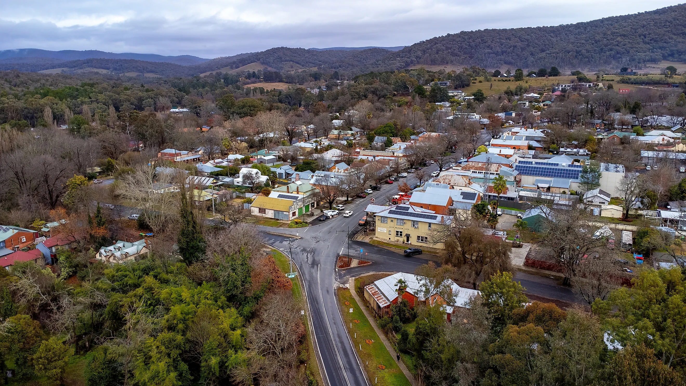
Yackandandah
Aerial view of Yackandandah, Victoria, Australia. Image credit: Chris F Manning / Shutterstock.com
The town of Yackandandah grew rapidly after gold was discovered in nearby creeks during the 1850s. Situated in the Indigo Shire region of Victoria, Yackandandah has many buildings from the gold rush era, giving the town’s main street a distinctly Victorian look. The Yackandandah Historic Walk takes visitors through buildings that were once banks, stores, and public buildings, but are now cafes and artisan studios. A short distance from Yackandandah, the Yackandandah Gorge Scenic Walk follows a historic tailrace built during the gold rush. The town is also a popular spot for cyclists, who ride along the High Country Rail Trail, a track that follows a disused railway through farmland and into Lake Hume. As a result, the town is small and locally focused, with a sense of self-sufficiency that was developed during the gold mining era.
Buchan
Inside the Buchan limestone caves.
The town of Buchan is situated in East Gippsland, along the Buchan River, and is characterized by limestone landscapes in the surrounding countryside. The town was a rural service center before gaining fame for the caves beneath the surrounding hills. For instance, the Buchan Caves Reserve forms the focal point of the town, where walking paths lead from the visitor area along the Buchan River toward the limestone cave entrances. Visitors can take a tour of the caves, which contain many stalactites and stalagmites that have formed over millions of years. Above ground, visitors can walk along the Buchan River through a parkland setting, where many kangaroos and birds can be seen. The town itself has a number of historic buildings and small local shops. Since the town is situated in a rural area with few large towns nearby, it remains small and intimate, closely associated with the region's geological scenery.
Licola
Bridge over the Macalister River, Licola, Victoria, Australia. Image credit: Melburnian via Wikimedia Commons.
Licola is located at the confluence of the Wellington River and Macalister River in Victoria’s alpine interior. Founded as a remote supply settlement for miners and pastoral stations, it remains one of the most isolated communities in Victoria. The area is also unique as most of the settlement clusters around Lions Village Licola, a large youth camp and outdoor camp complex that functions as the town’s main activity hub.Walking tracks are also available along both rivers, where fishing and swimming are common during warmer months. From Licola, gravel roads provide access to mountain valleys and forested ridges deep within Alpine National Park. With few services beyond those within its buildings, Licola is a remote center for the exploration of Victoria’s wilderness areas in the province’s interior.
Throughout Victoria’s mountainous terrain, valleys, and coastal areas, towns like Walhalla, Dargo, and Mallacoota reveal how geography has allowed independent communities to thrive long after the initial industries in those areas ceased to be viable. While some of those areas were founded during Victoria’s gold rush era, others were developed as rural areas that supplied agriculture and other industries, relying on self-sustaining communities due to their distance from larger cities. Along Victoria’s coastal areas, like Mallacoota, fishing waters and national park areas remain a defining function of those communities. In mountainous areas like Dargo, Omeo, and Licola, mountainous terrain remains a dominant feature of those communities.