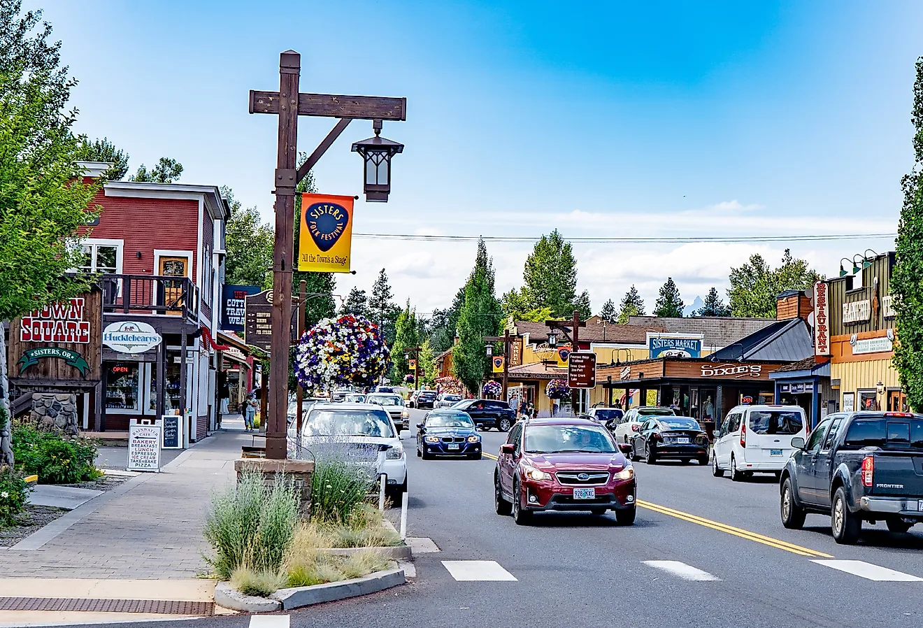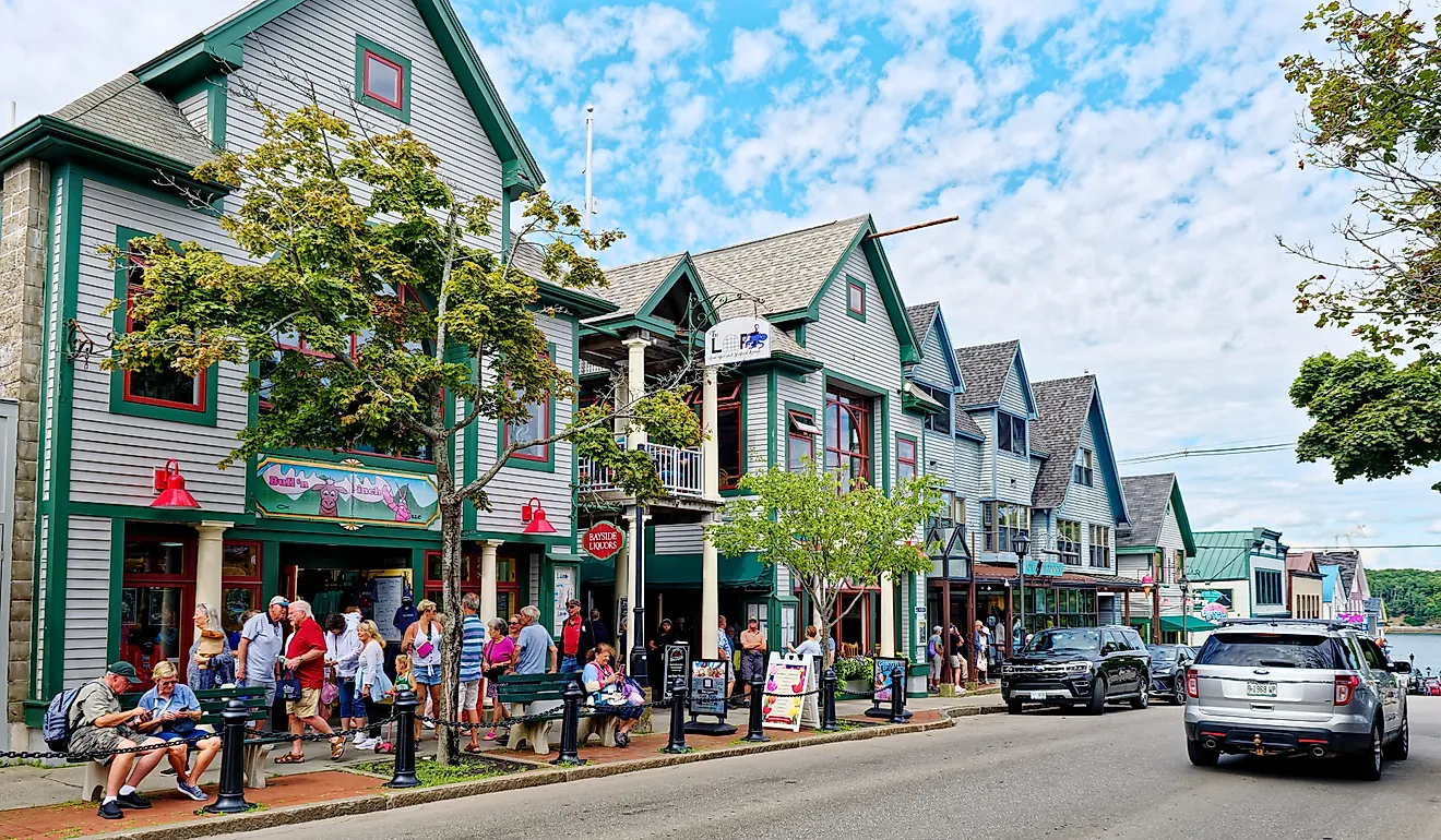
10 Storybook Towns In Victoria
Victoria's storybook towns are shaped by gold rush streets in Maldon and Clunes, alpine river paths in Bright, and coastal harbours in Port Fairy and Apollo Bay, rainforest walks in Lorne, and narrow mountain valleys in Walhalla. Each town in the southeastern state of Australia combines well-preserved buildings with nearby natural landmarks.
Find mineral springs in Daylesford, sandstone ranges in Halls Gap, a historic courthouse in Beechworth, and cliffside walking tracks along the Great Ocean Road. Together, these places show how small communities in Victoria continue to function around landscapes, industries, and traditions that have remained important for generations. Welcome to the storybook towns in Victoria.
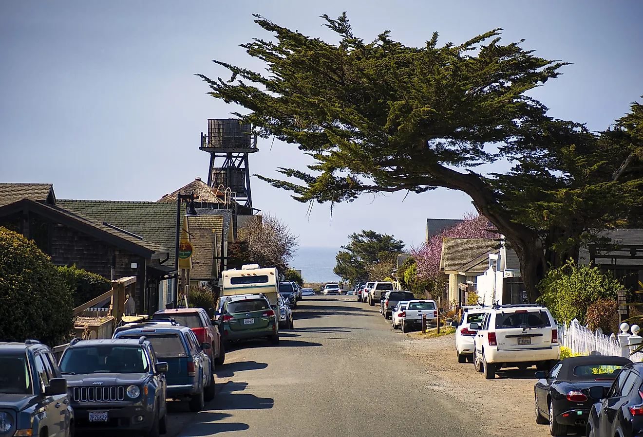
Maldon

Maldon developed during the 1850s gold rush after gold was discovered near Mount Tarrengower in 1853. The town was officially named in 1856 and later became Australia’s first designated Notable Town for its preserved streets. Begin at Mount Tarrengower Lookout, where walking paths lead to wide views over the town and surrounding bushland.
From there, visit the Victorian Goldfields Railway Maldon Station to ride a restored steam train through former mining areas. The Maldon Vintage Machinery and Museum displays historic farming and mining equipment that reflects early working life in the region.
Beechworth

Beechworth grew rapidly after gold was discovered in the early 1850s on land traditionally occupied by the Min-jan-buttu Aboriginal people. Mining activity shaped the town’s early layout and social structure.
Today, walk through the Beechworth Historic Precinct Reserve to see the Beechworth Historic Courthouse, Old Beechworth Gaol, and the Beechworth Telegraph Station linked to Ned Kelly. For outdoor time, hike to Woolshed Falls. A visit to the nearby Chiltern-Mount Pilot National Park adds forest walks and wildlife spotting, while Murmungee Lookout gives wide views over farmland and hills.
Daylesford

Daylesford began developing in the late 1830s and expanded after gold was discovered in 1851. In 1855, the town was named after Daylesford in England by Sir Charles Hotham. By the late 1800s, Daylesford had become known as a spa town due to its natural mineral springs formed in volcanic rock layers beneath the region.
Today, relax at Wombat Flat Mineral Spring and walk around Lake Daylesford. For a trip in nature, don’t forget to check out the Wombat Hill Botanic Gardens, which is home to trees, flowers, shaded paths, and picnic areas. For something more upbeat, ride the Daylesford Spa Country Railway every Sunday for breathtaking countryside views.
Port Fairy

Port Fairy began as a coastal settlement in the early 1800s and developed into a major port by the mid-19th century. It is believed that Captain James Wishart named the area after his cutter, The Fairy. By the mid-1800s, it had become one of Victoria’s busiest ports. Walk along the waterfront to Griffiths Island and reach the Port Fairy Lighthouse.
Besides seabirds, you might spot grazing kangaroos. For those into history, the Port Fairy War Memorial offers insight into the town’s past and its role in national service. From there, check out The Passage, a narrow channel connecting the river to the sea, where fishing boats and yachts pass daily.
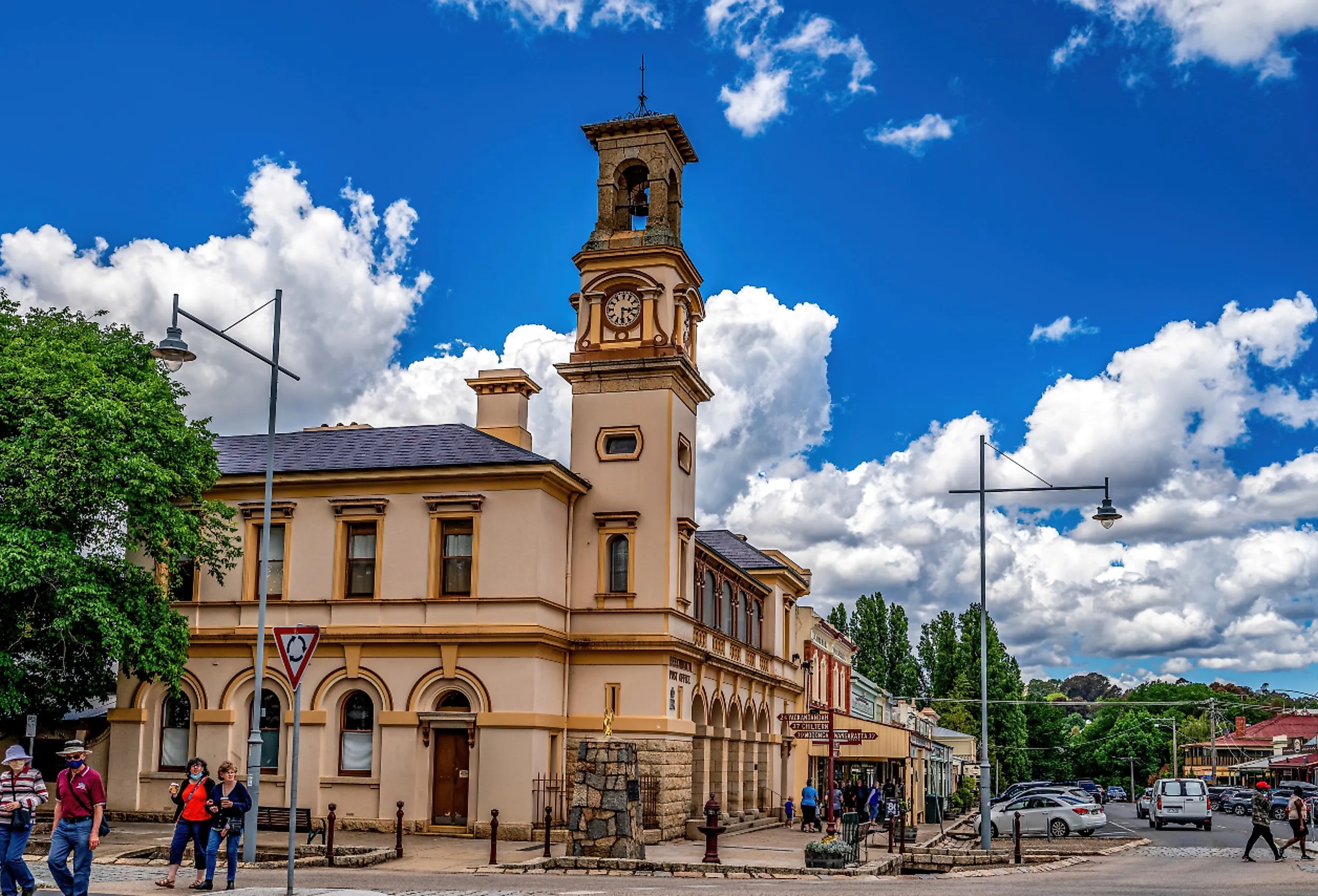
Halls Gap

Halls Gap sits at the edge of the Grampians National Park, surrounded by sandstone ranges and forested valleys. Aboriginal communities have lived in the area for thousands of years, leaving rock art and cultural sites. By the late 1800s, tourism grew, supported by tramlines, camping grounds, and early accommodation.
Hike to Boroka Lookout for wide views across the ranges or climb Chatauqua Peak for a quieter trail. Kangaroos and emus are often seen near walking paths close to town. At Brambuk the National Park & Cultural Centre, learn about local Indigenous history and traditional land use. For a different experience, visit Halls Gap Zoo to see native and international animals in open enclosures.
Bright

Bright developed after explorers Hume and Hovell passed through the region in 1824. Pine plantations began in the early 1900s, and after World War II, tourism became the town’s main source of income. Cycle the nearby Murray to Mountains Rail Trail or walk the Canyon Walk for river views and seasonal foliage.
Stop at Ladies Bath Falls for a short rainforest walk and waterfall views, then visit the Bright Art Gallery and Cultural Centre to see rotating exhibitions by regional artists. The Bright and District Historical Society displays photographs and records that explain the town’s mining and settlement past. If you have a suitable vehicle, you can drive to Apex Lookout for wide views over the valley and surrounding mountains.
Lorne

Lorne was first settled by Europeans in 1849 on land traditionally inhabited by the King Parrot people of the Cape Otway Coast. The town was named to mark the marriage of Princess Louise and the Marquess of Lorne. Although parts of the town were damaged in the 1983 Ash Wednesday fires, it was rebuilt and continues to rely heavily on tourism today.
Walk to Erskine Falls for a short rainforest hike and views of cascading water. From Teddy’s Lookout, see the coastline, river mouth, and winding sections of the Great Ocean Road. At the Great Ocean Road Story, learn about the road’s construction and its role as a war memorial. To understand local life and early settlement, stop at the Lorne Historical Society and view photographs and records from earlier decades.
Apollo Bay

Apollo Bay began as a fishing and timber port in the late 1800s. Long before European settlement, the land belonged to the Gadubanud people, also known as the King Parrot people, and was known as Krambruk. In 1845, the bay took its name from the ship Apollo, captained by Loutit, which had anchored in the area.
The town was renamed Apollo Bay in 1898 and grew further after road access improved in the early 20th century. Walk to Marriner’s Lookout for views over the bay, visit the Apollo Bay Museum to learn about local history, explore rainforest trails at Barham Paradise Scenic Reserve, and hike sections of the Great Ocean Walk along cliffs and coastal forests.
Clunes

Clunes was Victoria’s first gold town and the site of the state’s first recorded gold strike in 1851. By the 1860s, the town had thousands of residents, multiple schools, churches, hotels, and businesses. The town’s Fraser Street has also appeared in films such as Mad Max and Ned Kelly. Today, Clunes is the first accredited Booktown in the Southern Hemisphere.
Walk along Fraser Street to see its original shopfronts and wide verandas. At the Clunes Museum, explore displays on gold mining, early settlement, and town life. The nearby Clunes Bottle Museum showcases thousands of historic bottles collected from local sites. To learn about the start of Victoria’s gold rush, visit the James Esmond First Gold Victoria site, which marks where samples were taken before news spread across the colony.
Walhalla

Walhalla rose to prominence in the early 1860s after gold was discovered at Stringers Creek. The town remains preserved within a narrow mountain valley. Begin a visit with a tour of the Long Tunnel Extended Gold Mine, including guided walks through original tunnels and mining equipment.
Cross the Walhalla Road Bridge for clear views of the narrow valley below. A ride on the Walhalla Goldfields Railway follows the old rail route through dense forest and over restored bridges, showing how difficult transport was in this remote area. The Old Walhalla Post Office Museum displays photographs, documents, and everyday objects from the gold rush period, helping you understand how people lived and worked here.
These towns are built around places that still shape everyday life. Whether it is a working heritage railway in Maldon, goldfield streets in Beechworth, or coastal paths in Port Fairy, each community remains closely connected to its setting. Visiting these towns lets you see how historic buildings, local industries, and natural landmarks continue to guide daily routines.