Great Australian Bight
A bight is an open, broad, and shallow bay or a concave bend in geographical features like coastline, cliff, or river. Bights are different from sounds in that the latter is much deeper. Thus, the Great Australian Bight is a natural embayment or oceanic bight stretching across Australia’s southern coast. This Australian coastal area is part of the Indian Ocean and is an unique environment containing diverse marine species, including threatened and endangered mammals. It formed over 50 million years ago when the Gondwana supercontinent broke apart. However, the European explorers first came across the Bight in 1627 and chartered it in 1802. The Great Australian Bight plays a key role in Australia’s commercial fishing industry.
Location and Extent
The Great Australian Bight is a large, shallow, open bay in the Indian Ocean that indents Western and South Australia's southern coast. The open bay covers an area of approximately 45,926 square kilometers, with its depth ranging from 15 to 6,000 meters. The bight forms a portion of the Great Australian Bight Marine Park. Although the Great Australian Bight is a part of the Indian Ocean, the Australian authorities like the Australian Hydrographic Service considers it to be a part of the Southern Ocean.
The Australian Hydrographic Service (AHS) defines the embayment as a smaller area, stretching between Cape Pasley in Western Australia and Cape Carnot in South Australia, approximately 1,160 kilometers. However, the International Hydrographic Organization (IHO) defines the Bight as extending eastwards, with the northern limit on Mainland Australia’s southern coast. The IHO also defines the bay’s southern limit as a line joining Tasmania’s South West Cape to Western Australia’s West Cape Howe. The eastern limit extends from Victoria’s Cape Otway to King Island in the Bass Strait, then to Kennaook, Tasmania.

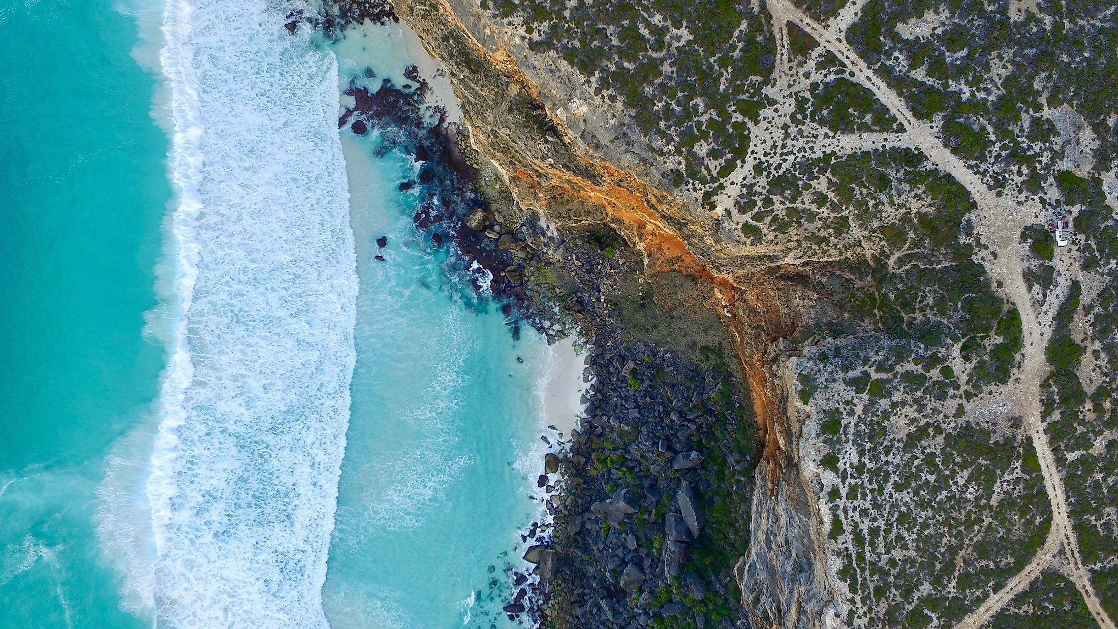
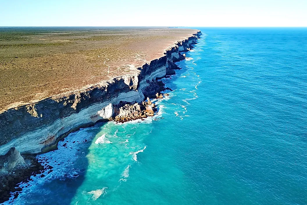
The Head of the Bight lies to the south of the Nullarbor Plain, a plain across Western Australia and Southern Australia, and is bounded by cliffs reaching a height of 60-120 meters. Cape Arid National Park and Nuytsland Reserve are on the Bight’s shores, between the Israelite Bay and Eucla. The Nuys Archipelago, the Recherche Archipelago, Whidbey Islands, and Investigator Island are considered part of the Great Australian Bight. The town of Ceduna on the Bight’s eastern side is one of the largest centers for people wishing to visit or explore the region.
Formation and Natural History

The Great Australian Bight was formed when Antarctica separated from Australia about 50 million years ago. The Nullarbor Plain that dominates the Bight’s coastline was a seafloor several millions of years ago. It comprises limestone bedrocks, part of which have been eroded to form the cliff faces. The plain is located within an arid and semi-arid climate zone and offers little to no surface runoff and terrestrial nutrients to the Bight. However, the Bight receives much of the nutrients that support diverse marine species from the seasonal upwelling of the ocean water around the Eyre Peninsula.

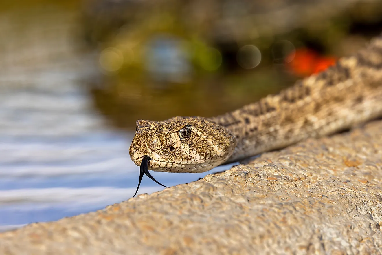
The upwelling events, especially in the autumn and summer seasons, inject nutrients into the Bight, making it more productive. The availability of nutrient-rich water allows diverse marine species to thrive in the open bay, including 85 known endemic species. However, the total number of species that migrate or dwell in the Bight is yet to be established. The Bight is a critical habitat for two endangered marine mammals requiring conservation priorities - the southern right whale and the Australian sea lion. The Head of Bight hosts plenty of southern right whales during winters, while the Australian Sea lions breed near the bay’s cliffs.
Human Exploration

For about 40,000 years, the Australian Aboriginal people, particularly the Spinifex and Wangai, hunted along the Great Australian Bight coastline and Nullarbor Plains. However, it was not until 1672 that the first European, Francois Thijssen, encountered the Bight when he sailed along its western edge. In 1802, the English navigator - Matthew Flinders, accurately chartered the Bight’s entire shoreline during his travel around the Australian continent. A few decades later, Edward John Eyre, another English explorer, accomplished the bay’s land-based survey.
The bay’s exploration for oil and gas has been conducted since the mid-20th century. However, recent plans by companies like the Chevron Corporation, BP, and Equinor to drill oil wells in the area have faced community opposition due to the risk of oil spillage. The three companies have since abandoned the plans, stating that the exploration was not commercially competitive despite Australia’s Energy Regulatory Authority responsible for the environmental management and safety approving the exploration plans in 2019.