Maps of Western Australia

Western Australia, the largest state in Australia, encompasses an expansive area of 976,790 square miles. Bordered to the east by South Australia and the Northern Territory, and to the west by the Indian Ocean, this vast region features a diverse range of landscapes, waterways, and natural formations.
The geography of Western Australia is primarily divided into five distinct regions: the Kimberley, the Pilbara, the Mid West, the Wheatbelt, and the Southwest. Each region boasts unique features and landmarks that contribute to the state's overall geographical diversity.
The Kimberley, situated in the northwestern corner of the state, is renowned for its rugged, remote landscapes, and stunning natural formations. The region is home to the King George River, which flows through the Kimberley Plateau, cascading over the King George Falls. The Ord River, another significant waterway in the area, flows through the Ord River Valley, creating the fertile plains that support the region's agricultural endeavors.
Bordering the Kimberley to the south, the Pilbara region is defined by its vast, arid landscapes and rich mineral deposits. The Fortescue River flows through the heart of the Pilbara, carving deep gorges into the ancient, rocky terrain. The region also includes the Dampier Archipelago, a collection of 42 islands that offer diverse marine habitats and a plethora of marine life.
The Mid West region of Western Australia stretches along the state's western coastline, encompassing an array of natural features such as the Murchison River, which flows through the Kalbarri National Park. This park is renowned for its striking red sandstone cliffs and dramatic gorges. The Mid West also includes the Abrolhos Islands, a chain of 122 islands that provide critical nesting sites for seabirds and support vibrant coral reefs.
South of the Mid West lies the Wheatbelt, a region characterized by its rolling farmland and agricultural production. The Avon River flows through this region, sustaining its fertile soils and supporting a thriving agricultural industry. The Wheatbelt's diverse landscapes include vast salt lakes, such as Lake Dumbleyung, and unique granite formations like Wave Rock.
The Southwest region, nestled in the southwestern corner of the state, is renowned for its lush forests, fertile valleys, and pristine coastline. The Blackwood River meanders through the region, supporting the thriving wine industry and nourishing the tall karri and jarrah forests. The Southwest also encompasses the Margaret River, which flows through the area and provides a vital water source for the region's agricultural pursuits.
Covering a total land area of 2,527,013 sq.km, The State of Western Australia is a large state located in the western part of Australia. Western Australia occupies nearly one-third of the total area of the Australian Continent.
As observed on the map, the northern and western parts of the State are covered by broad plateaus punctuated by numerous mountain ranges. The Kimberley Plateau region occupies the far northern part of the state. The highly rugged coastline of the state is dotted by reefs while the interior woodland areas are covered by woody trees and bristly grasses. The southern and eastern borders of the Kimberley region are formed by the Ord and Fitzroy rivers. Some other significant rivers of Western Australia include Ashburton, De Grey, Fortescue, Rudall, Gascoyne, Swan, Frankland, Blackwood, etc.
The Great Sandy Desert is situated in the southern part of the Kimberley region. This desert stretches southwards and merges with the Gibson Desert. In the state’s southern part, The Gibson Desert merges with the Great Victoria Desert. The Pilbara region is situated on the southwestern part of the Great Sandy Desert. Located in the Hamersley Mountain range of the Pilbara region, in the southeastern part of the Karijini National Park is Mount Meharry, which rises to an elevation of 1,249m and is the highest point in Western Australia.
Most of the southwestern part of Western Australia is formed by the Yilgarn block/ Yilgarn craton. The craton is surrounded in the east by the flat, treeless Nullarbor Plain which juts down to the Southern Ocean and is lined by magnificent coastal cliffs. The Perth Basin is separated from the Yilgarn block by the Darling Range. In the extreme southern part of the state, the Yilgarn block rises to about 1,096m in the Stirling Range and drops down to the ocean forming rugged coastlines and white sandy bays. As marked on the map by an upside-down yellow triangle, Lake Macleod at -4m, forms the lowest point of the state.
Counties Map
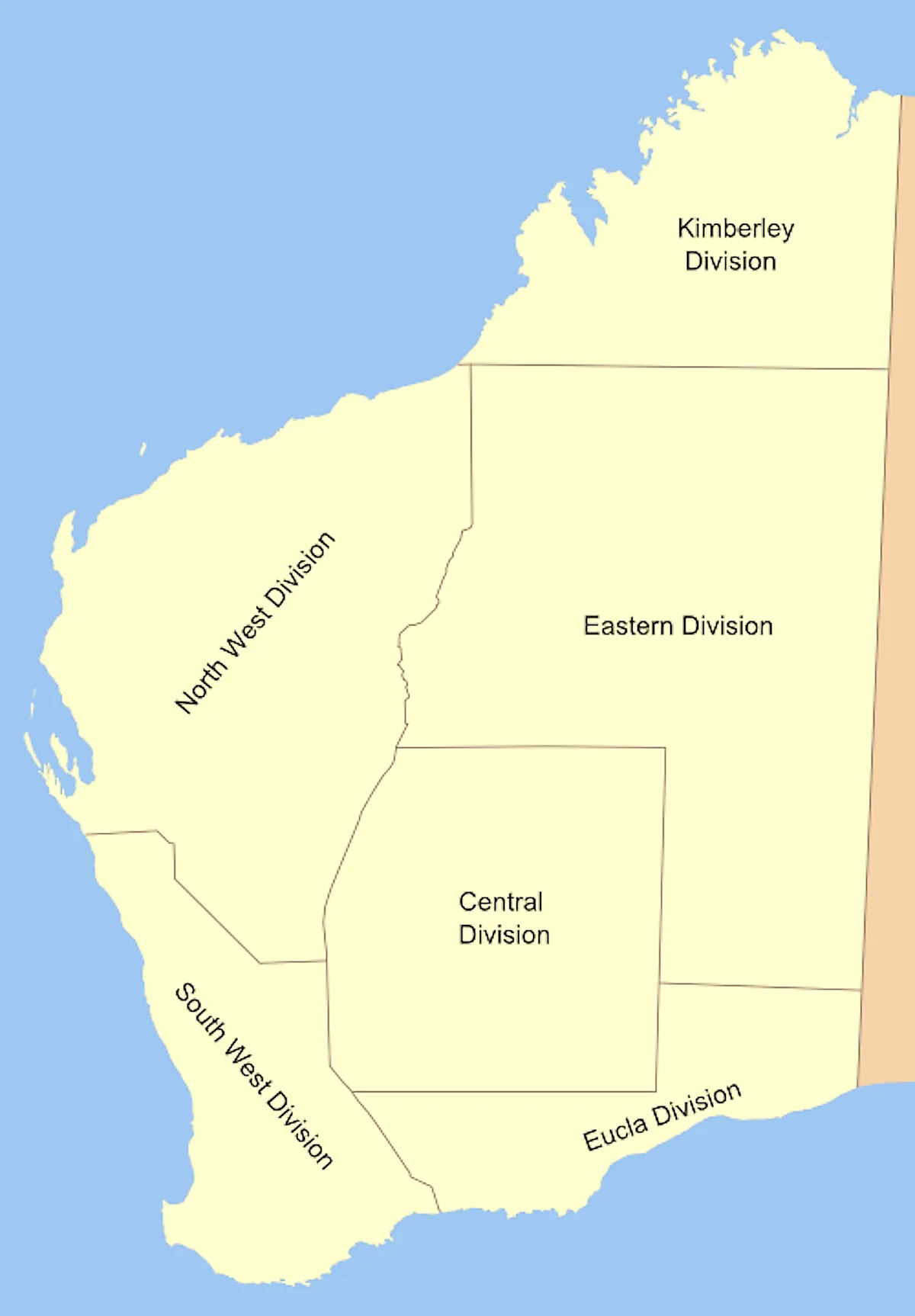
The Australian State of Western Australia is administratively divided into 5 land divisions. In alphabetical order, these 5 land divisions are Eastern Land Division, Eucla Land Division, Kimberley Land Division, North West Land Division, South West Land Division. The land divisions are further subdivided into a total of 90 land districts. The land districts are again further subdivided into numbered locations and gazette townships.
Covering a total land area of 2,527,013 sq.km, The State of Western Australia is Australia’s largest State and the 2nd largest country subdivision in the world. Located about 19km from the mouth of the Swan River, in the southwestern corner of the State is Perth – the capital and the largest city of Western Australia. It is also the 4th most populous city in Australia. Perth serves as an industrial, economic hub and the administrative center of Western Australia.
Where is Western Australia?
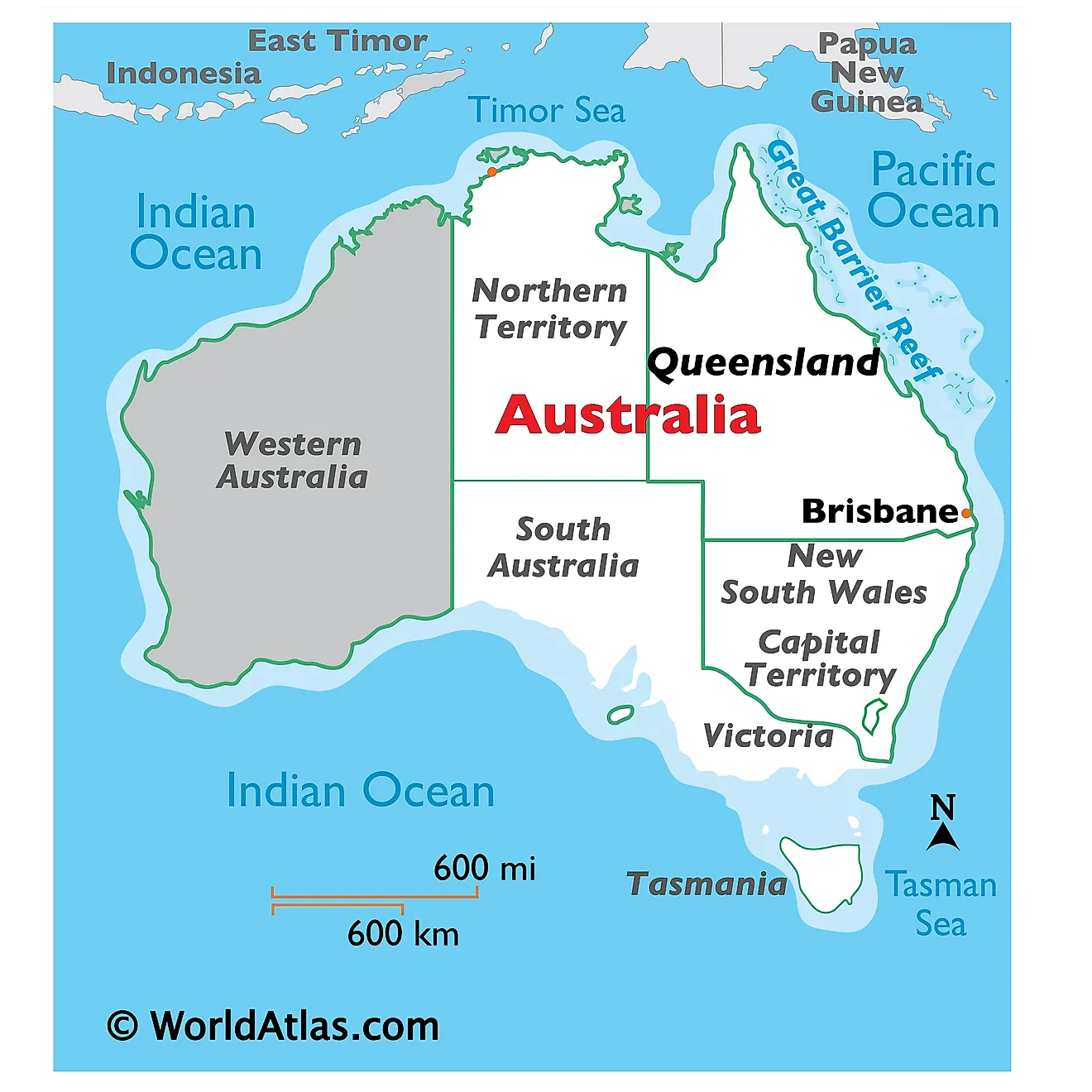
Western Australia is a large state that is located in the western part of Australia. It is geographically positioned in the Southern and Eastern hemispheres of the Earth. Western Australia is bordered by the Northern Territory in the northeast; by South Australia in the southeast; by the Southern Ocean in the south; by the Indian Ocean in the west and northwest; and by the Timor Sea in the north.
Regional Maps: Map of Oceania
Outline Map of Western Australia
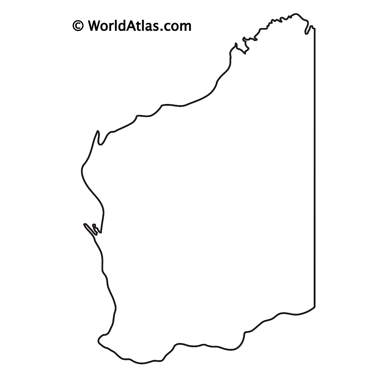
The above blank map represents the State of Western Australia, located in the western part of Australia. The above map can be downloaded, printed, and used for geography education purposes like map-pointing and coloring activities.
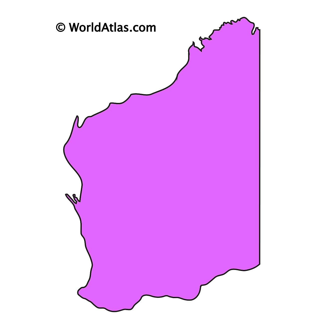
The above outline map represents the State of Western Australia, located in the western part of Australia. Western Australia has been nicknamed “The Wildflower State”.
Key Facts
| Legal Name | State of Western Australia |
|---|---|
| ISO 3166 Code | AU-AU_WA |
| Capital City | Perth |
This page was last updated on April 6, 2023
