Which Provinces Border Alberta?
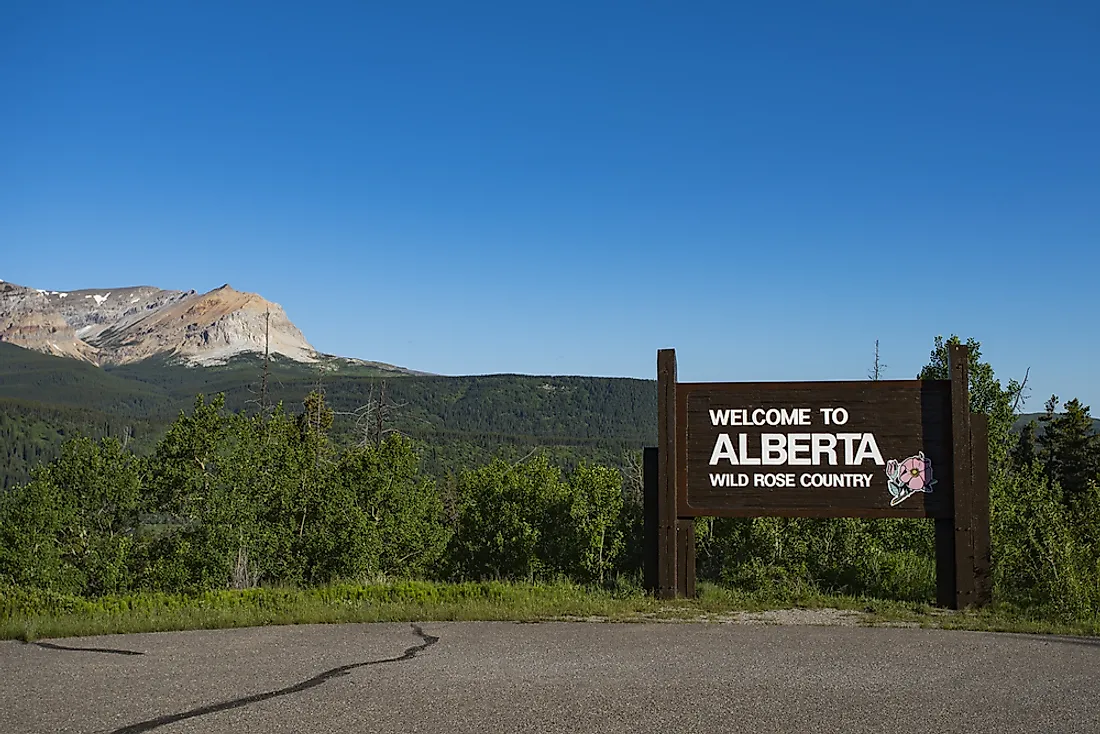
Alberta is a Canadian province in the western part of the country, covering an area of 250,000 square miles. As of 2016, the population of Alberta was slightly above 4 million making it Canada’s 4th most populated province. Alberta’s provincial capital city is Edmonton in the geographic center of the province. The city is its primary supply of crude oil as well as the service hub for the resource industries. Alberta is a landlocked province bounded by Saskatchewan, British Columbia, and the Northwest Territories. The US state of Montana also borders Alberta to the south.
Saskatchewan-Alberta Border
Saskatchewan borders Alberta to the east. The border between the two provinces is the 4th meridian which lies along the 110˚W longitude. Notably, the city of Lloydminster is located both in Alberta and Saskatchewan.
British Columbia-Alberta Border
British Columbia is west of Alberta. Its inter-provincial boundary with Alberta is the 120th meridian west. The border is 1,842 km long consisting of two distinct parts namely the 120th meridian west and the Continental divide (the spine of the Rocky Mountains). The Klondike gold rush of the 1896-1899 resulted in border sensitivity between the provinces of Alberta and British Columbia. However, it was only until 1913 that the governments of British Columbia, the Dominion, and Alberta agreed to survey their boundaries jointly. The survey took four years due to several reasons such as the harsh weather interferences. They marked the border of Alberta and British Columbia by the words “THE GREAT DIVIDE.”
The three-member commission that surveyed the borders of the two provinces was made up of Arthur Oliver from British Columbia, Bill Cautley from Alberta, and James Nevin Wallace from Dominion all of whom were surveyors. The British Columbia border towns are Radium Hot Springs, Invermere, and Golden.
Northwest Territories-Alberta Border
The Northwest Territories cover a land area of 442,000 square miles and has a population of approximately 41,000 in 2016. Its capital, Yellowknife, was recommended by the Carrothers Commission in 1967. The Northwest Territories border Alberta to the north. More specifically, the boundary between the two provinces is at the 60th parallel north.


