Hudson River
The 507 km long Hudson River is considered the longest river that flows entirely through the US State of New York. This long river flows from the north to south direction through the eastern side of the New York State and serves as a political border between the State of New York and the State of New Jersey. In the northern part, the river serves as the local boundary between several counties in New York State.
Geography

The Hudson River originates from the Lake Tear of the Clouds that is located close to the base of Mount Marcy in the Adirondack Mountain Range at an elevation of 1,317m. In the initial stages of its course, the river is known as the Feldspar Brook till it joins with the Opalescent River. The river is then known as the Opalescent River which flows southwards from the outlet of Henderson Lake and reaches the Calamity Brook. The Indian Pass Brook also flows into Henderson Lake and from the confluence of the Calamity Brook and Indian Pass Brook, the river is cartographically referred to as the Hudson River.
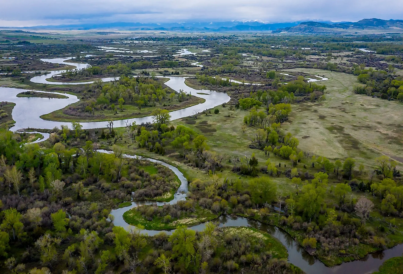
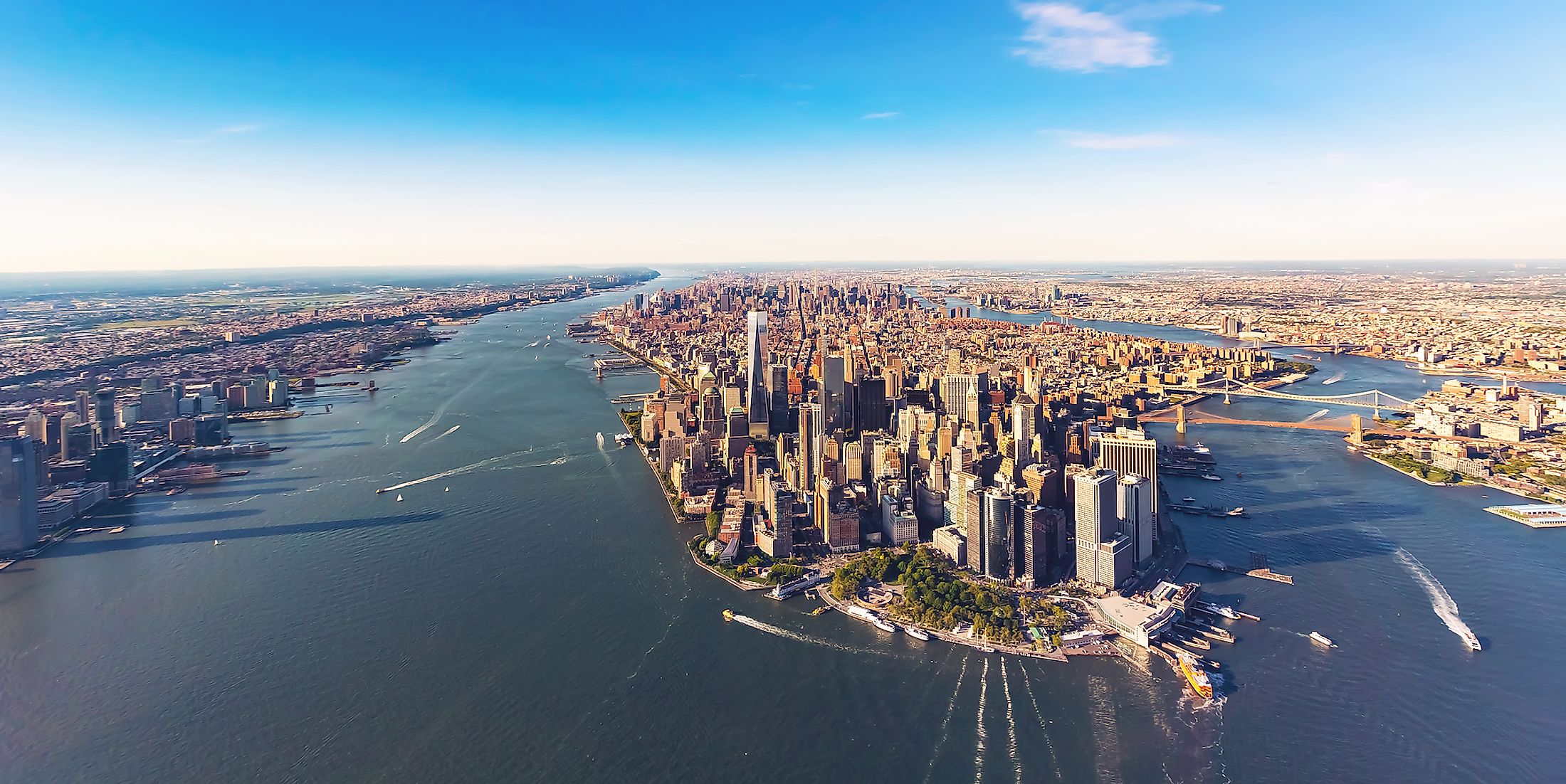
For the first 174km of its course, the Hudson River flows in the southeast direction and passes through the town of Corinth in Saratoga County. From there, the river flows in the northeast direction and reaches the Hudson Falls. From the Hudson Falls, the river flows southwards and reaches the Federal Dam in the city of Troy. The bottom of the dam that is located at an elevation of 0.61m, marks the starting point of the lower course as well as the tidal influence in the Hudson River. The wide Hudson River then meanders southwards through the Hudson Valley and finally reaches the upper New York Bay that is situated between New York City and New Jersey. At the New York Harbor, the Hudson River drains into the Atlantic Ocean.

The Lower part of the Hudson River acts as a tidal estuary and experiences two distinct high tides and two low tides every day. The tidal current moves northwards at a very slow rate such that different portions of the river can experience high tide and low tide at around the same time. These strong tides often make portions of the New York harbor dangerous and difficult to navigate. During the winter months, the ice floes drift southwards or northwards depending upon the flow of tides. The Hudson River reaches a maximum depth of 62m at its widest point known as the “World’s End”, which is located between the Constitution Island and United States Military Academy. At its southern course close to the Federal Dam, the river reaches a depth of 9.1m. Some of the major tributaries of the Hudson River include Boreas River, Cedar River, Croton River, Catskill Creek, Indian River, Sacandaga River, Schroon River, Wallkill River, Batten Kill River, Mohawk River, Wappinger Creek, etc. The Hudson River Watershed which includes the Hudson River and all its tributaries drains an area of 34,000 sq. km and covers major portions of New York as well as the portions of the states of New Jersey, Connecticut, Vermont, and Massachusetts. As the tidal influence from the ocean extends up to the city of Troy, the average discharge of fresh water is about 490 cubic meters per second. The average discharge of freshwater at the river’s mouth is about 620 cubic meters per second.
Geology
Geologists consider the Hudson River to be a “drowned river”. It is believed that after the end of the Wisconsin Glaciation, the rising sea levels led to a marine incursion that drowned the coastal plains and bought the saline waters above the mouth of the Hudson River. Due to the glaciation and the rising sea levels, the lower portion of the river is a tidal estuary that occupies the Hudson fjord, which was formed about 26,000 to 13,300 years ago.
Ecology

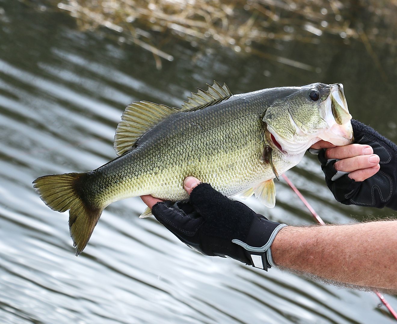
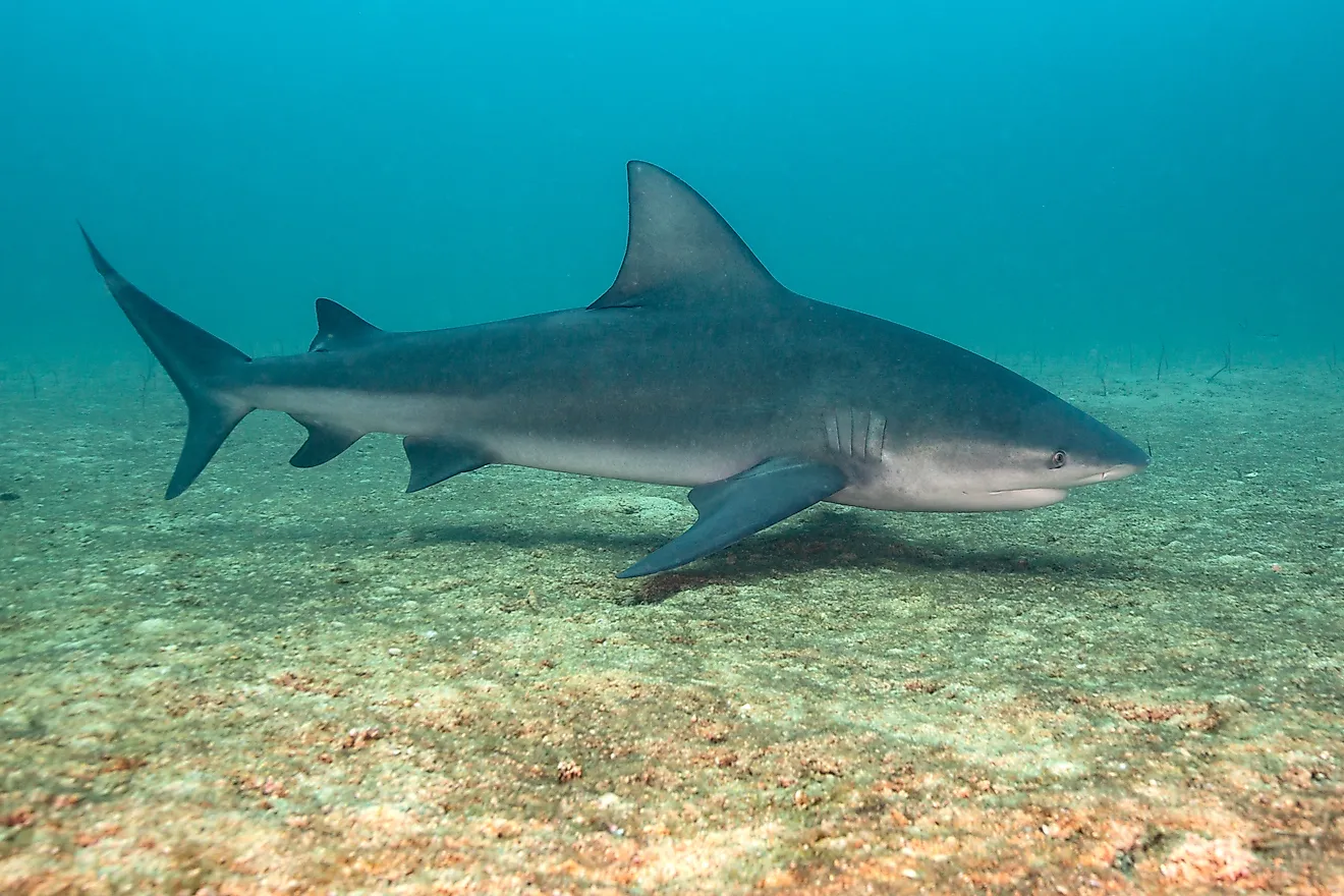
It has been recorded that currently there are about 220 species of fish in the Hudson River. Some of the major fishes that are found here include American shad, striped bass, American eels, glass eels, Atlantic tomcod, hogchoker flatfish, northern pipefish, Atlantic sturgeon, etc. In addition to the fishes, several zooplanktons, oligochaete worms, chironomid flies, mollusks, polychaete annelids, Atlantic blue crabs, etc are also found. It is estimated that more than 100 invasive species are found in the Hudson River including zebra mussel, green crab, and Japanese shore crab. The Hudson River Estuary has one of the largest concentrations of freshwater wetlands in the northeastern part of the United States. It has also been found that due to climate change, the rising sea levels have led to an increase in the area of the wetlands.
Brief History

Before the arrival of the Europeans, the area around the Hudson River was inhabited by several indigenous people mainly by the Mahican, Lenape, and Wappinger branches of the Algonquians group. The Mahicans named the river “Muhhekunnetuk”, which means the river that flows two ways and is believed to refer to the river’s long tidal range. The first European name of the river was “Rio San Antonio” which was given by the Portuguese explorer Estevao Gomes. In 1524, the Italian navigator Giovanni da Verrazzano sailed along the Atlantic Seaboard and entered into the New York Harbor. However, he left abruptly without exploring further upstream, and in 1609, the English navigator Henry Hudson was sent by the Dutch East India Company for further explorations and his search for the Northwest Passage. Hudson sailed upstream of the river that was later on eventually named after him. In 1629, Dutch began to settle in the river valley and referred to the river as the “North River”, relative to the Delaware River that was then known as the South River. The Dutch established the New Netherland colony along with three principal fur-trading outposts. In 1664, the New Netherland colony and the fur-trading outposts were surrendered by the Dutch to the British and the colony was rechristened as “New York”.

During the American Revolutionary War, the areas along the Hudson River served as sites for numerous battles including the Battle of Long Island, Battle of Harlem Heights, Battle of White Plains, etc. Many canals were built during the beginning of the 19th century, to facilitate transportation and navigation throughout the interior parts of the country. One of the most notable canals that were built during this time was the 584km long Erie Canal, which stretched from the Hudson River in the city of Albany to Lake Erie in the city of Buffalo. The canal enhanced the development of this part of the United States and made New York City one of the country’s most significant ports. In 1996, the US Congress designated the Hudson River Valley as a National Heritage Area. However, throughout the years, the Hudson River has been severely polluted by pollutants such as urban runoff, agricultural sewage, and industrial wastes. Between 1947 and 1977, the discharge of industrial wastes from the General Electric Plant contaminated the Hudson River with polychlorinated biphenyls (PCB). This pollution led to significant effects on wildlife and people who consumed fish from the Hudson River. Since then, numerous efforts have been taken to clean up the Hudson River.