Where Is Baffin Bay?
Baffin Bay is a marginal sea of the North Atlantic Ocean, located between the west coast of Greenland and Baffin Island. The sea is connected to the Atlantic Ocean by the Labrador Sea and the Davis Strait, and is also connected to the Arctic Ocean by the narrow Nares Strait. Baffin Bay is not navigable during most of the year due to the presence of ice cover and a high density of icebergs and floating ice. However, an area of open water within the frozen sea, called a polynya, which has an area of approximately 31,000 square miles and is named the North Water, opens in the summer. This polynya contains the highest concentration of aquatic life within Baffin Bay.
Brief Historical Background
The Baffin Bay area was first inhabited as early as 500 BCE by the Dorset people, who lived in the region until approximately 1200 CE, followed by the Thule people. Norsemen colonized the shores of the bay between 10th and 14th century, and the first recorded European explorer to reach Baffin Bay was John Davis, arriving in 1585. About 30 years later, a group of English merchants, exploring the northern coast of what would later become Canada in search of possible maritime passages, also explored the region. Baffin Bay was named after British explorer William Baffin, who chartered the area during an expedition.
In 1993, Baffin Bay was the epicenter of the largest known earthquake north of the Arctic Circle. However, the 7.3 magnitude earthquake did not cause any damage, as its offshore location has very few settlements.
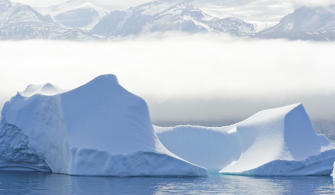
Geography
Baffin Bay is a marginal sea of the Atlantic Ocean that borders Baffin Island to the east, Greenland to the west, and Ellesmere Island to the south. It is connected to the Atlantic by the Davis Strait, while several narrow channels of the Nares Strait connect it to the Arctic Ocean. The bay can also be considered a northwestern extension of both the North Atlantic and the Labrador Sea. Some sources classify the bay as a long strait separating Greenland and Baffin Island.
Baffin Bay is less than 3,300 feet deep near the coast, where the sea bed is covered with gravel, sand, and crushed stone. There is a deep pit in the center of the bay, known as Baffin Basin, which is approximately 7,008 feet deep and mostly covered by silt. Baffin Bay experiences an Arctic climate, which is characterized by storms, especially during winter.
Today, only a small number of Inuit settlements can be found along the Canadian coast of Baffin Bay, which are accessible only by air and sealift.
North Water and Wildlife
North Water is a polynya at the extreme north of the bay, which forms between May and June, and has an area of approximately 31,000 square miles. The open water is formed by the warm Greenland current and the largest polynya of the Canadian Arctic.
The North Water has abundant fauna and is a source of air to ice algae and zooplankton. Roughly 15,000 of the 20,000 beluga whales in Baffin Bay are concentrated within the polynya. All aquatic mammals in the bay depend on the availability of open water.


