Amazon River
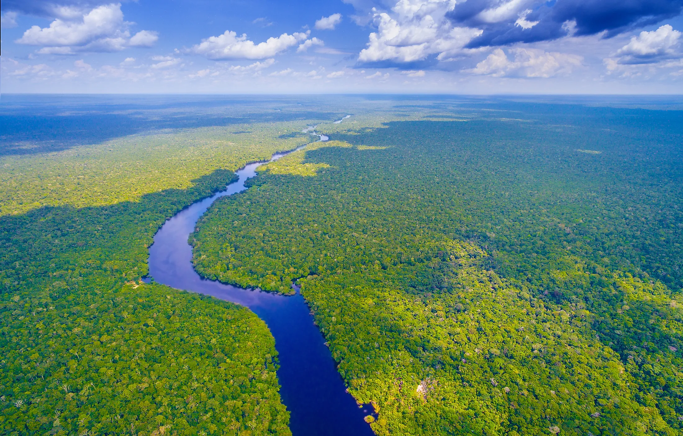
The Amazon River is the second-longest river in the world after the Nile and the largest river in South America. It is the lifeblood of the world’s largest ecosystem that spans about two-fifths of the South American continent. Running about 6,400 km from the headwaters of the Apurímac river system, the Amazon is the world’s mightiest river in terms of its volume and extensive drainage into the Atlantic Ocean. Its watershed spans the countries of Brazil, Peru, Ecuador, Colombia, Venezuela, and Bolivia. The river is generally 19 to 50 km wide, with a maximum width of 100 km. The Amazon releases high amounts of freshwater into the Atlantic Ocean at 300,000 m3 per second. It accounts for one-fifth of the total volume of freshwater entering the oceans globally.

Exploration And Naming

The Amazon River was discovered in 1541 by Francisco de Orellana who descended the main course of the river from Ecuadorian to Peruvian Andes. At that point, it went by many names as Indigenous peoples named it differently based on the sections they occupied. The name Amazon was adopted after a battle between Francisco de Orellana and the Pira-tapuyas peoples. It was customary for this Indigenous group that women fought alongside the men. Because of that, it is said that Orellana named the river Amazon after the mythical female warriors, the Amazonians of Asia.
Course Of The Amazon

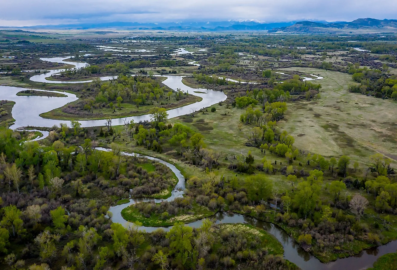
The river originated 11.8 million years ago during the Miocene period. It took its present-day course over 2.4 million years ago during the Early Pleistocene. Since the earliest exploration of the Amazon River, its source was thought to be in the Apurimac river drainage system. Technological advancements in the 20th century have led researchers to cite Carruhasanta Creek, 159 km west of Lake Titicaca and running through the north slope of Mount Mismi in Peru as the most distant source of the river. From that point, the river forms the Rio Lloqueta, which eventually joins the Rio Apurímac. There are over 1,000 tributaries that flow into the Amazon River from the Andes, Brazilian Highlands, and the Guiana Highlands.

The mouth of the Amazon is measured from Cabo do Norte to Punto Patijoca in northern Brazil, a distance measuring 325 km. This distance is inclusive of the ocean outlet and front of Marajó Island. A tidal phenomenon, known as the tidal bore, occurs here where the tide starts as a roar and progresses in speed up to 24 km per hour with a breaking up to 4 m high. Due to the tidal bore, the Amazon River does not have a true delta. The ocean carries away the silt brought in by the river making it impossible for the formation of a delta.
The area covered by the Amazon River and its tributaries triples during the wet season over the course of one year. On average, over 110,000 km2 of land are covered in water during the dry season, while in the wet season the basin rises to over 350,000 km2.
Amazon Biodiversity And Ecosystem

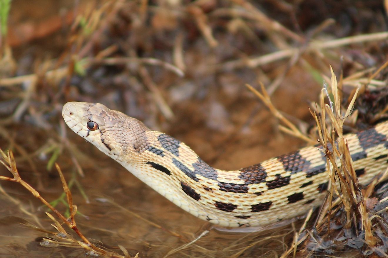
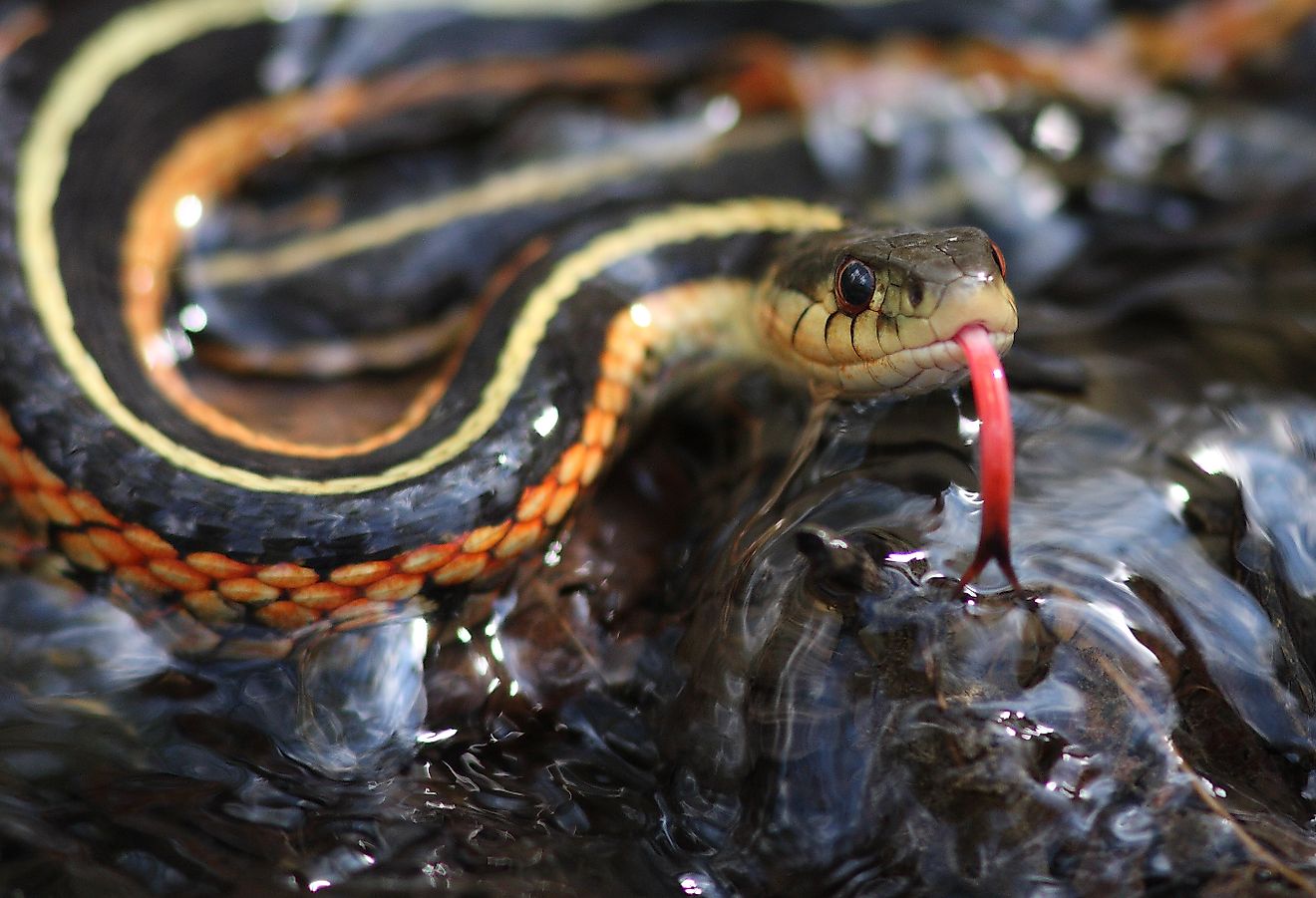
The Amazon river forms one of the largest biodiversity areas in the world as it is the location of the tropical rainforest, the Amazon. It is home to 2.5 million different insect species, 2,200 fish species, tens of thousands of plant species, and 2,800 species of birds and animals. The waters support a diverse range of wildlife. Along with the Orinoco, the Amazon is the main habitat of the boto, also known as the Amazon river dolphin, the largest river dolphin measuring up to 2.6 m in length. Also present in the Amazon waters are piranhas, carnivorous fish that congregate in large schools and attack animals and sometimes even humans. The anaconda, which is one of the largest snake species in the world, inhabits the shallow waters of the Amazon.
Tropical rainforests with a variety of tree and plant species are one of the dominant features of the Amazon. As many as 100 arboreal species have been counted on a single acre of the forest. The sun-loving trees soar through the canopy to a height of 60 m above the ground.
Developing The Amazon Basin

After the Second World War, developing the Amazon basin became an important debate for the countries it spans. Roads have been constructed through the Amazon rainforest in particular in the highlands of Colombia, Peru, Bolivia, and Ecuador. Thousands of peasant farmers have moved from the populous highlands to the lowlands of the Amazon basin. These roads have made it possible for the exploration of oil, river fish, tropical hardwoods timber resources, and illegal cocaine production. Despite its length and width, there are no bridges across the entire width of the river since there are no roads in its course. Most of the time, the crossing is usually done by a ferry or boat. Ocean vessels can ascend the river 1,500 km to the city of Manaus in Brazil while passenger and smaller freight vessels can reach Iquitos in Peru, 3,600 km from the Amazon's mouth.
Brazil has been at the forefront of pushing for the development of the Amazon basin by refocusing on the construction of a new inland capital Brasilia. There is a massive road construction program that integrates the Northern region with the rest of Brazil, providing an alternative escape route from the crowded and drought-stricken Northeast.
Threats And Ecological Concerns

Deforestation of the Amazon rainforest is one of the international concerns raised by the United Nations Conference on Environment and Development during the Earth Summit held in Rio de Janeiro in 1992. Calls for conservation of the Amazon basin are based on the view that the basin is a global resource playing a fundamental role in controlling the world’s climate and as a genetic repository for the future. However, the extent and rate of deforestation have been subject to continuous debate as some claim that it is difficult to distinguish between regenerated secondary vegetation and indigenous forest due to the persistence of cloud cover and smoke.
This unique gene pool which carries two-thirds of the organisms on the earth’s surface is continuously threatened by deforestation. Continued reclamation of the forest to cropland, pasture, and second-growth forests may reduce the rate of evapotranspiration, hence interrupting the hydrologic cycle and the recycling of soil nutrients. An interrupted hydrological cycle will increase the amount of water running off the surface and increased water levels. Losing the Amazon rainforest would speed up climate change, provoke wildfires, and lead to unpredictable rain patterns and droughts, all of which would have dire consequences for human life.