Which Countries Border The Dominican Republic?
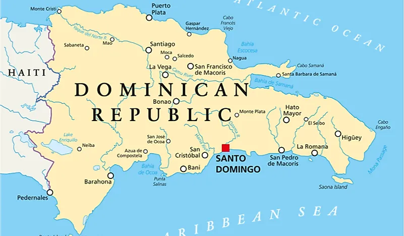
The Dominican Republic is a sovereign nation in the West Indies. The nation lies on the eastern side of Hispaniola with an area of approximately 18,791 square miles, including offshore islands. Interestingly, the Dominican Republic shares a land border with only one nation: Haiti. Haiti also lies on the land island of Hispaniola and occupies three-eighths of the island. The north and the south of the Dominican Republic are bordered by the Atlantic Ocean and the Caribbean Sea, respectively. Another nearby island, although not sharing a land border with the Dominican Republic, is Puerto Rico. The Mona Passage, which is about 80 miles wide, separates Puerto Rico and the Dominican Republic.
Haiti-Dominican Republic Border
The land border between the two Caribbean nations has a length of approximately 234 miles. The maximum length of the border from east to west, which runs from Punta de Agua all the way to Las Lajas, is slightly longer at approximately 242 miles. From north to south, the maximum border width, which runs from Cape Isabela all the way to Cap Beata, is about 164 miles.
Today, there is a huge economic disparity between the two nations. The average Haitian is considerably poorer than the average Dominican due to things such as poor governance, overpopulation, lack of resources, and internal power struggles. In fact Haiti is the poorest nation in the Western Hemisphere. By contrast, Dominicans have the largest economy in the Central American and the Caribbean region. The Dominican Republic’s economy is about 600% as big as the Haitian economy.
Although there a series of border crossings open between Haiti and the DR, the busiest one is found at Dajabon. Dajabon is known for its large open-air market where the free trade of goods is permitted.


