Which Countries Border Sweden?
Officially known as the Kingdom of Sweden (Konungariket Sverige in Swedish), Sweden is a Scandinavian state located in the northern region of Europe. The nation is bordered by three countries: Norway to its north and west, Finland to its east, and the southwest by Denmark via a bridge-tunnel through Öresund. Accordingly, there are three borders of Sweden namely the Sweden-Denmark border, the Sweden-Finland border, and the Sweden-Norway Border.
Sweden-Denmark Border
The Sweden-Denmark border was established back in 1658, and it is a maritime border which runs along Øresund and Kattegat and in the Baltic Sea between Scania and Bornholm. Øresund is the location where territorial waters from the two nations meet exclusively making a stretch that is approximately 71 miles from Höganäs to Falsterbo. Expectedly, since it is a maritime border, the most common mode of transport is through ferries. However, there is also a single road connection, which was opened in 2000, that is about 9.9 miles long providing linkage between the two countries. Other crossings include car ferries from Frederikshavn to Göteborg and Grenå to Varberg.
Looking back at the history of the region, Sweden, Denmark, and Norway were once a single territory during the era of the Kalmar Union which broke up in 1523. Up until 1658, Denmark was the owner of the historic provinces of Blekinge, Bohuslän, and Scania. Halland was also a part of Denmark until 1645. During that time, the border between Denmark and Sweden went through the present-day southern region of Sweden. However, Denmark handed over the territories to Sweden in 1645 and 1658 in the Treaty of Roskilde. That secession of the territories was what shifted the border to Øresund.
The present-day border between Norway and Sweden stayed as the border between Sweden and Denmark-Norway until Denmark and Norway split up in 1814. After the split, the modern day Sweden-Denmark border at Øresund became the border between Denmark and the union between Norway and Sweden until Sweden and Norway went their separate ways in 1905.
Since 1958, the Nordic Passport Union deemed passport checks at the border unnecessary. Despite the relaxed passport checking, Denmark maintained strict passport checks until laws of the European Union (the Schengen acquis) removed the checks in 2001. However, Sweden reverted to strict border checks in 2015 due to the European migrant issues.
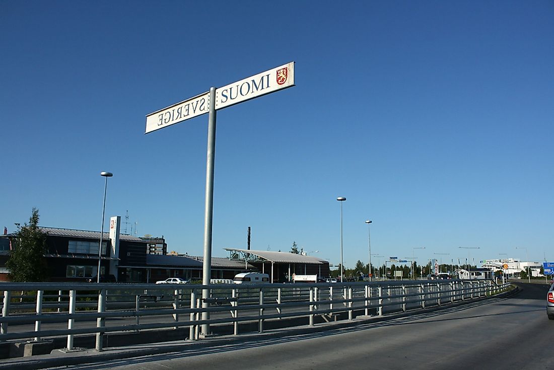
Finland–Sweden Border
This border is almost entirely located in two water bodies namely the Gulf of Bothnia and the Tornio River with a few miles on land. The border begins in the north at the Treriksröset tripoint with border signs marking the first section of the border for about 0.14 miles. However, the border signs are unavailable when the border is within the rivers Kuohkimajärvi, Kilpisjärvi, Könkämäeno, Tornionjoki, and Muonionjoki for a distance of about 345 miles all the way to Tornio. From Tornio, the border travels in a straight line for about 2.5 miles while sandwiched by the towns of Haparanda and Tornio. After that, it enters the sea and moves in a straight line for about 15.7 miles. In the sea, it goes through islands such as Kataja until it gets to a spot in the Bothnian Bay where the territorial waters between Finland and Sweden are separated by international waters. The waters re-converge in the Sea of Aland and the border runs for another nine miles.
Originally, the border was formed back in 1809 after the government of Sweden handed Finland over to Russia. The course of the border was vaguely described in the fifth article of the Treaty of Fredrikshamn. The vague description laid out River Tornionjoki, River Muonionjoki, the Gulf of Bothnia, and the Sea of Åland to be the borders. Islands were divided on the basis of who was nearest to them. Later on, the border was amended in the treaties of Aland in 1921 and in 1972 during the treaty of continental plates. Another agreement that was made was one that requires the border to be examined every 25 years. The most recent examination was in 2006. The 2006 inspection saw the border being moved in some places while other places were left intact.
Since both countries are in the Schengen area, people can use the border anywhere to cross. Goods that need to be declared to customs have to be declared but whoever is carrying the goods is also free to use the border anywhere. People wishing to cross can use bridges in places like Muonio, Pello, Kolari, and other places.
Norway–Sweden Border
This border runs for about 1,010 miles on land. For both Norway and Sweden, this is the longest border that either country has. Due to war in the past, the border has been shifted a number of times. For example, changes were made during the 1645 Treaty of Brömsebro, the 1658 Treaty of Roskilde, and the Treaty of Copenhagen in 1660.
Another treaty was signed in 1751. This treaty defined the border based on the knowledge of the local populations living close to the border. The people responsible for the treaty decided to use the people living in border regions to determine which parish belonged to which country. In regions where there were no human populations, such as in mountainous regions, the border was assumed to run in a water body such as a river. After a few disputes were sorted out in the parishes of Idre, Kautokeino, Karasjok, Särna, and Lierne, several border cairns were constructed between Sweden and Norway and Finland. To this day, the majority of the cairns are still intact.
The fact that the two nations are part of the Schengen Area should ensure that immigration controls do not exist. However, border checks between the two countries are very much in existence. The checks are sporadically occurring all along the border on either side. In addition, CCTV cameras have been installed in order to combat smuggling. In order to use flights or ferries to cross, a passport check is not necessarily done but an identity card is a requirement. Custom stations are located in places such as Björnfjell, Vauldalen, and Eda.


