Which Countries Border Egypt?
Egypt consists of two main regions, the mainland and the Sinai Peninsula. The mainland region of Egypt is located in the northern part of Africa, while the Sinai Peninsula is considered part of the southwestern region of Asia. This peninsula is situated between the Red Sea to its south and the Mediterranean Sea to its north. The entire country of Egypt covers a total of 390,121 square miles. Of this area, less than 1% is made up of a body of water. Additionally, this country has a population size of just over 96.99 million.
Countries and Territories Bordering Egypt
Egypt shares international borders with a number of territories and countries, including: Sudan, Libya, Israel, and the Gaza Strip. This article takes a closer look at each of these borders.
Sudan
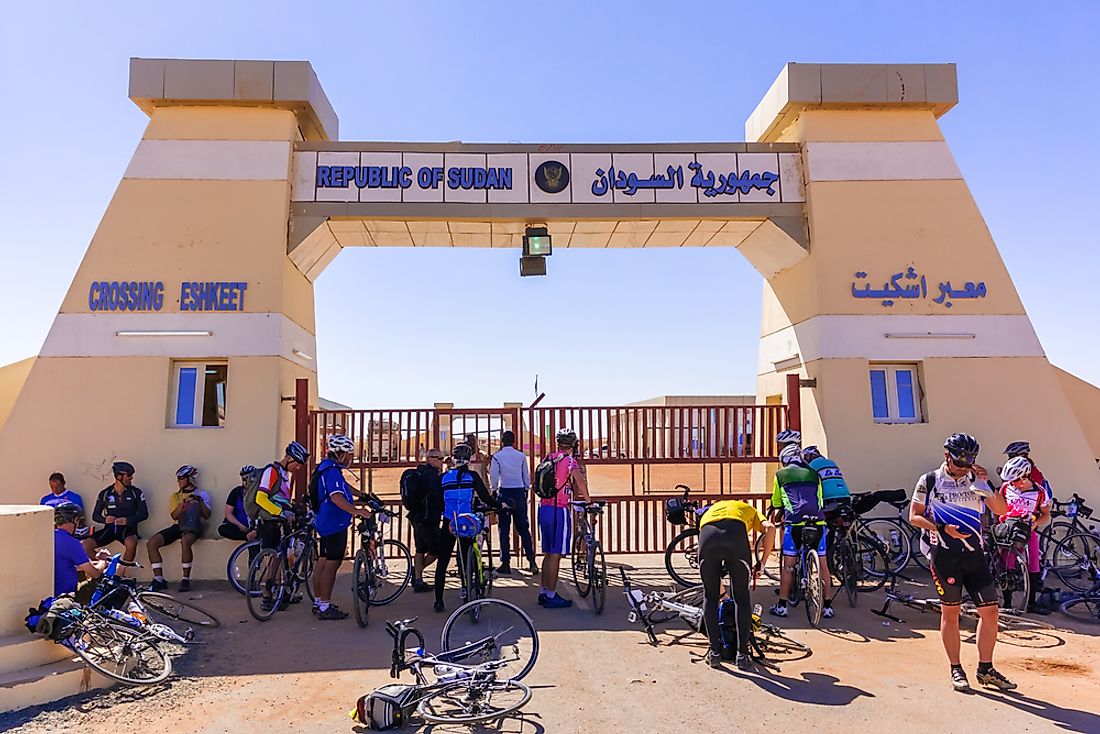
The border between Egypt and Sudan makes up the entire southern edge of Egypt. This border begins on the coast of the Red Sea at its easternmost point, although a current border dispute prevents this exact location from being identified. From this disputed area, this border moves in a straight line headed in a western direction until it reaches the tripoint border between Libya, Sudan, and Egypt.
The disputed border region between Egypt and Sudan is made up of two distinct areas: the Hala’ib Triangle and the Bir Tawil. Both of these areas exist as the result of a difference between two official boundaries. The first of these official boundaries was formalized in 1899 as a political boundary, while the second was identified in 1902 as an administrative boundary. The 1899 border runs in a straight line from the coast. The 1902 border, however, begins further north and runs in a southwest direction, thus creating the Hala’ib Triangle, and then dips south into Sudan before turning north and meeting the straight, 1899 boundary. This dip creates the Bir Tawil.
The government of Sudan chooses to recognize the 1902 border, which would give this country authority of the Hala’ib Triangle, but not the Bir Tawil. The government of Egypt recognizes the 1899 boundary, which gives it authority over the Hala’ib Triangle, but not the Bir Tawil. This dispute means that Bir Tawil is not claimed by any sovereign authority, making it the only area in the world that can sustain human life but does not belong to one particular political entity.
Libya
The border between Egypt and Libya makes up the entire western edge of Egypt. At its northernmost point, this border begins along the coast of the Mediterranean Sea. From here, it moves in a slightly zig-zagged line toward the south until it passes the city of Al Jaghbub in Libya and the city of Siwa in Egypt. After passing between these two cities, the border runs in a straight line to the south until reaching the tripoint border with Sudan and Egypt.
These two countries were involved in a war against each other in 1977, which led to an unfriendly political relationship for a little over a decade. Since the late 1980’s, however, the relationship between Egypt and Libya has been improving and trade across their shared border has been increasing as well. Although the trade and political relationships between these two countries is on friendly terms, the border area is still considered a major security issue for Egypt.
In 2017, officials in Egypt compared this international border to the border with Israel, claiming that the region around Libya has become more dangerous in recent years. One of the primary security threats here is that of armed militant groups crossing the border into Egypt. Additionally, it has become a prime location for smuggling illegal goods, particularly weapons. In response to this threat, the government of Egypt has deployed increased numbers of troops and border security to the boundary between these two countries.
Israel
The border between Egypt and Israel begins at the tripoint point border between the Gaza Strip, Israel, and Egypt, which is just south of the coast of the Mediterranean Sea. This definition of the border between these two countries, does not include the Gaza Strip as part of the territory of Israel. That territory (which is occupied by Israeli forces, but claimed by the State of Palestine) is instead discussed below. From this tripoint, the border between Egypt and Israel runs in a southeastern direction, making up nearly the entire eastern border of the peninsula. This border ends when it reaches the Gulf of Aqaba along the eastern coast of the Sinai Peninsula. This gulf opens into the Red Sea.
The government of Israel has built an approximately 152-mile long barrier fence along this international boundary, claiming that this move was an effort to prevent illegal immigrants from entering Israel from African countries. In some sections, this barrier resembles a tall fence with barbed wire running along the top and in other sections, it is made of steel walls complete with radar and security cameras.
Gaza Strip
The border between Egypt and the Gaza Strip runs for 7.45 miles south, from the Mediterranean Sea coast to the tripoint border shared with Egypt and Israel. Despite sharing a border, these two territories do not maintain a trade relationship due to conflict around the zone. In fact, this border is surrounded by a buffer zone and has only one border crossing that is accessible by foot. In order to reinforce this buffer zone, the government of Egypt worked with the government of the US to begin building a steel barrier wall here in 2009. The finished barrier will measure at least 60 feet underground. Its presence affectively cuts the city of Rafah in half. The government has justified this project by citing the need to prevent the transport of illegal goods, materials, and armed militants across the border. As this project has continued, the Egyptian government has discovered a larger number of tunnels from Gaza Strip into Egypt than previously believed to exist. In response, the Egyptian government has planned to increase the area of the buffer zone to .62 miles (1 kilometer) in width.


