The Most Extreme Points of Central America
Central America refers to the states between the southern part of North America and the northern part of South America. Mexico lies north of Central America while Colombia lies to the southeast. The Caribbean Sea is to the east while the Pacific Ocean is located on the west. Geographically, there are seven countries in Central America; Belize, Nicaragua, Honduras, El Salvador, Costa Rica, Panama, and Guatemala. The region is geologically active with seismic activity often reported due to the presence of fault lines. The following are the extreme points of Central America.
6. Northernmost Point in Central America
The Mexican-Belize border in Juan Sarabia, Quintana Roo state, is the northernmost point of Central America. The border is 155 miles long and trails the course of the Hondo River. A Mexican-Belize treaty demarcated the border in 1897. Although the border is not as busy as the Mexican-American border, it is infamous for drugs and arms trafficking.
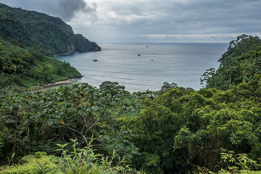
5. Southernmost Point in Central America
Cocos Island is the southernmost point of Central America. The Costa Rican island is located in the Pacific 342 mi off the coast of mainland Costa Rica. It is a designated national park, and the citizenry is prohibited form settling on the island except for park rangers. The cape of Punta Mariato in western Panama is the southernmost in mainland Central America. The cape makes up the tip of the Azuero Peninsula. It covered by rainforest and mangrove that are part of a UNESCO biosphere reserve.
4. Westernmost Point in Central America
The westernmost point of Central America is the mouth of the Suchiate River in Unión Juarez. The river demarcates the boundary between Mexico and Guatemala. The river begins from the Tacaná volcano and flows southwest to Unión Juárez.
3. Easternmost Point in Central America
The easternmost point of Central America is the border between Panama and Colombia near Unguía. The border also represents the boundary between North America and South America. It is heavily guarded by Colombian authorities seeking to deter drug trafficking and immigrants from Cuba
2. Highest Point in Central America
Volcán Tajumulco in western Guatemala is the highest point in Central America with an altitude of 13,786 ft. The mountain is part of the Sierra Madre de Chiapas Mountain Range. The mountain is also the highest point in Guatemala.
1. Lowest Point in Central America
The Isthmus of Rivas/ Nicaragua Canal on the Continental Divide of the Americas is the lowest point in Central America. The canal lies at a depth of 184 feet. The Nicaragua canal was a proposed project to join the Pacific and Atlantic Oceans, but by the end of 2017, the project was yet to start with some officials claiming it had been scraped off due to financial and environmental concerns. The coast of the Caribbean is the lowest point on the surface at sea level.


