Major Rivers Of Iraq
Iraq is a country in the Middle East that covers an area of 169,234 square miles. Most of Iraq's land is covered by the desert. However, the country has two major rivers, the Euphrates and Tigris, that are vital to Iraq. In addition to the two rivers, there are other rivers such as Diyala, Little Zab, and Great Zab that flow through the country.
Euphrates
The Euphrates is one of the two most significant rivers in Western Asia and Middle East. It is the longest river in the region at a length of 1,740 miles (2,800 kilometers). The river originates from the junction of the Kara Su (Western Euphrates) and Murat Su (Eastern Euphrates) in the Armenian Highland of Turkey. It flows through the Taurus Mountains of Syria and down to Iraq where it joins with River Tigris to form Shatt Al-Arab River before draining in the Persian Gulf. The Euphrates basin is believed to have been occupied from as early as 450,000 years ago. Ancient cities were lined on the banks of the river. Due to the extended human occupation in the region, some of the resources have been depleted. However, several native plants and animal species remain to date. Plants found in the wetland areas of the river include oaks, plum trees, and pistachio trees. Drier parts grow wheat, oats, and rye. Fish such as the mangar and other species are found in the river. Construction of hydroelectric power stations and irrigation schemes on the river has negatively affected the Euphrates basin. A drop in the water level and presence of chemical pollutants in the water has led to the decline of fish in the river. Efforts have been made to conserve the remaining natural resources.
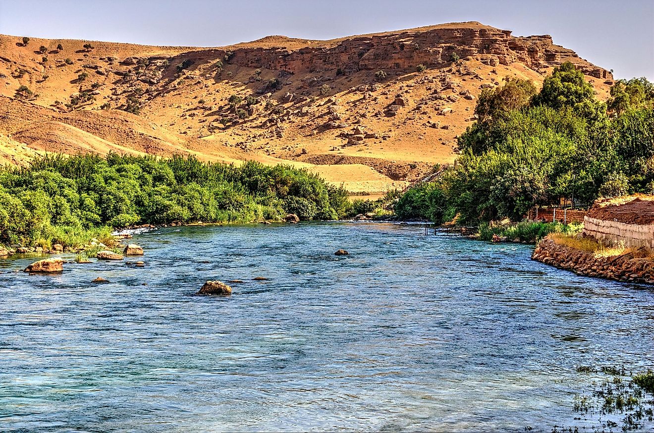
Tigris
The Tigris is the second longest river in Iraq at a length of 1,150 miles (1,850 kilometers). It originates from the mountains in Eastern Turkey. The river flows through Syria and down to Iraq where it joins with the Euphrates to form Shatt Al-Arab River. Ancient civilization thrived on the banks of the river. The capital city of Iraq, Baghdad, stands on the banks of Tigris. The river is commonly used as a mode of transport in the mostly desert country. Tigris gets its water from melted snow and rain water. The river is prone to flooding in springtime when the snow melts. The river has close to 55 fish species. The fish population was much larger, but it has declined due to water pollution.
Diyala
The Diyala River is the third longest river in Iraq at a length of 277 miles (445 kilometers). It originates from the Zagros Mountains in Western Iran and flows through the lowlands into Iraq before draining into Tigris. The Diyala River basin is a famous excavation site with several archaeologists visiting the area. The river is also an important source of irrigation water for the wheat, cotton, rice, rye, and tobacco grown in Eastern Iraq. Additionally, hydroelectric power dams such as the Daryan Dam source their waters from Diyala River.
Lower Zab
The Lower Zab, also known as the Little Zab, flows from the Zagros Mountains in Iran down into Iraq where it empties into the Tigris. The river has a length of 249 miles (400 kilometers). It crosses through diverse ecological zones whereby different vegetation grows. The river gets its water from melted snow and rainwater. The river is prone to flooding in springtime when the snow melts. Dams have been built along the river to control flooding. Dukan dam and Dibis Dam prevent flooding in the Lower Zab basin as well as provide water for irrigation and hydro-electric power generation.
Economic and Ecological Significance of Iraq's Rivers
The rivers in Iraq are an important natural resource. The rivers are vital for the irrigation projects, hydroelectric power generation, fishing, domestic use as well as industrial water supply. Mesopotamia, an area between Rivers Euphrates and Tigris, is one of the most fertile areas in Western Asia. It has supported Iraq's agricultural sector since most of the farming in Iraq is in Mesopotamia. Iraq has put in little effort in conserving resources on the river basins. As a result, most plants and animals native to Iraq have become extinct. Conservation agencies need to be established to ensure that the remaining resources are preserved.
The Major Rivers Of Iraq
| Rank | Major Rivers in Iraq | Total Length |
|---|---|---|
| 1 | Euphrates | 1,740 miles (shared with Syria and Turkey) |
| 2 | Tigris | 1,150 miles (shared with Syria and Turkey) |
| 3 | Diyala | 277 miles (shared with Iran) |
| 4 | Lower Zab | 249 miles (shared with Iran) |
| 5 | Great Zab | 249 miles (shared with Turkey) |
| 6 | Arvand Rood (Shatt al-Arab) | 124 miles (shared with Iran) |
| 7 | Khasa | 118 miles |


