Is Syria A Country?
The word “country” is both a political and geographical term that is used to describe a region or an area with a distinct national entity. It can be defined as a territory with boundaries or borders separating it from other regions or countries and has own set of rules and government. Countries are the subdivision of continents. Although the number of countries in the world has always been disputed, the United Nations officially recognizes 195 countries of which 193 countries are member states while the other two; Holy See and Palestine are non-member observer states. The Syrian Arab Republic, popularly known as Syria, is one of the countries officially recognized by the United Nations.
Overview
The Syrian Arab Republic is one of the Western Asian countries with Damascus as its capital and largest city. It borders Lebanon, Mediterranean Sea, Iraq, Turkey, Israel, and Jordan. Syria hosts a diverse ethnic and religious groups with Syrian Arabs and Sunni Muslims making the largest ethnic and religious groups respectively. Politically, Syria is categorized as a unitary republic. It consists of 14 governorates and remains the only country that politically promotes the Ba’athism. Syria has been engaged in armed conflict with several countries in the region since 2011. Consequently, many self-proclaimed political groups have emerged in the country. It is also the least peaceful country in the world according to the Global Peace Index.
Syria has a population of approximately 17.2 million people and a population density of 258 per square mile. More than half the population (9.5 million) have been displaced since 2011 following the outbreak of the Syrian Civil War. The president is the head of state while the prime minister heads the government. Due to the ongoing civil war, several alternative governments have been formed to stabilize the country.
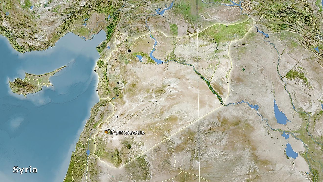
Geography
Syria is situated on the north of the Arabian Peninsula, on the eastern end of the Mediterranean Sea. It is characterized by a mountain range in the west, Syrian Desert in the east, and Jabal al-Druze Range in the south. Syria covers a total area of 71,500 square miles, making it the 87th largest country in the world. Only 1.1% of the country’s total area is water. Syria is divided into three geographical regions; coastal plains, upland area, and eastern plateaus. The largest lake in Syria is a dam that was built on the Euphrates River in 1973 known as Lake Assad. The highest point in the country is the summit of Mount Hermon (9,232 feet), located on the Lebanese border.
Road to Independence
The history of Syria dates back thousands of years ago when it was a center of Neolithic culture where agricultural activities such as cattle rearing appeared for the first time in the world. The region grew and became a French territory in 1920 following the Battle of Maysalun. In 1925, the French were engaged in a series of battle by the Sultan Al-Atrash, a prominent Arab Druze leader, including the Battle of al-Mazraa which the French lost. In September 1936, Syria and France signed a treaty of independence but the treaty was not enforced immediately as the French legislators failed to ratify it. Full independence, known as Evacuation Day, was attained on April 17, 1946.


