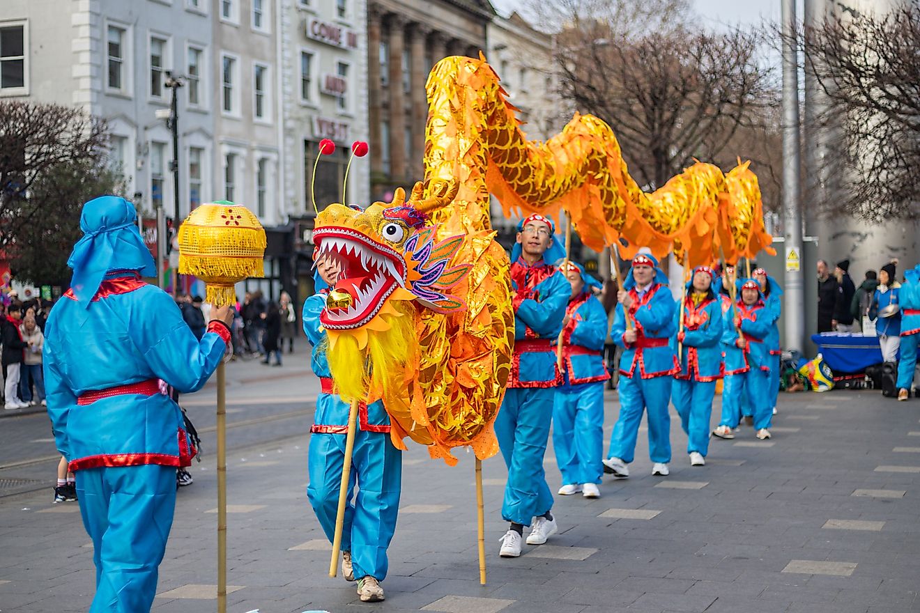
Countries With Closed Borders
Closed borders refer to international borders that do not allow the free movement of people from one jurisdiction to another. These borders are characterized by fences or walls, but could also just have border points that are closed or gates. In this case, if the gates are open, they could allow a few people under exceptional circumstances only.
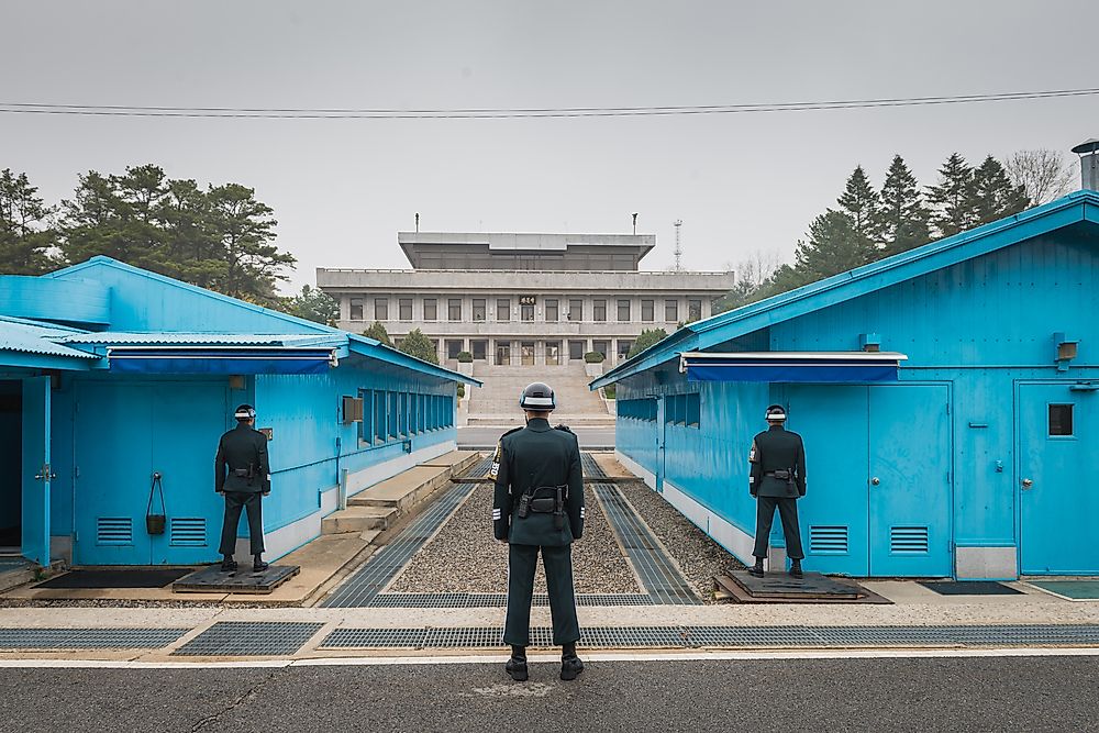
Korean Demilitarized Zone
The border between North Korea and South Korea is a demilitarized zone. The border was demarcated after the signing of the Korean armistice agreement. The boundary serves as a buffer zone between the two countries, and it runs through the Korean Peninsula, dividing it into two. The Demilitarized Zone (DMZ) was created when an agreement was signed in 1953 between the United Nations command, China, and North Korea. The Demilitarized Zone stretches for 160 miles long, and it is approximately 2.5 miles wide. Inside the demilitarized Zone (DMZ) is a joint security area (JSA) which was reserved as a meeting place between the two countries.
Armenia–Azerbaijan Border
The border between Armenia and Azerbaijan stretches for 625.8 miles long and follows the former border between the Azerbaijan Soviet Socialist Republic and the Armenian Soviet Socialist Republic. The border was originally closed because of the conflict of Nagorno-Karabakh. The conflict is both ethnic and territorial between Armenia and Azerbaijan. The self-declared Artsakh Republic controls the Nagorno-Karabakh and its surrounding districts, although the area is internationally recognized as part of Azerbaijan.
Armenian-Turkey Border
In 1993, the border between Armenia and Turkey was closed. The closure was in response to the Nagorno-Karabakh war which erupted when the Armenians in the Nagorno-Karabakh autonomous oblast seceded from Azerbaijan which had become a newly independent country following the collapse of the Soviet Union. Finally, in 1994, the Russians brokered the ceasefire after six years of conflict.
Colombia–Venezuela Border
Columbia and Venezuela share a border that stretches for 1,378 miles long, and it is the longest border of either country. The border between the two countries was drawn with the signing of two treaties. The first one was in 1891 known as the Spanish arbitration award of Queen Maria Cristina. The second one was in 1941, known as the Treaty of limits and river navigation. However, there have been conflicts between the two countries, particularly in defining the border at the Gulf of Venezuela. These conflicts have caused a diplomatic row. In 2015, two soldiers of Venezuela were injured while fighting Smugglers from Colombian, and this prompted Nicolas Maduro, the president of Venezuela to close the border between the two countries.