Curacao
The island of Curaçao is a constituent country of the Netherlands that is located in the southern Caribbean Sea. Along with the islands of Aruba and Bonaire, Curaçao forms a part of the ABC Islands which are the westernmost island group in the Leeward Antilles.
Curaçao is situated about 65 km north of the South American nation of Venezuela. The island country comprises the principal island of Curaçao and the smaller uninhabited island of Klein Curaçao. Together, they cover a total area of about 444 km2. Curaçao was formerly a part of the erstwhile Netherland Antilles, and presently, along with the islands of Aruba, Sint Maarten, Saba, Sint Eustatius, and Bonaire, it forms a part of the Dutch Caribbean (Caribbean Netherlands).
Geography

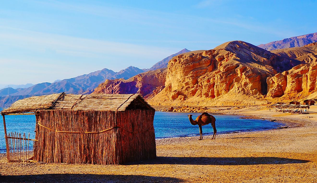
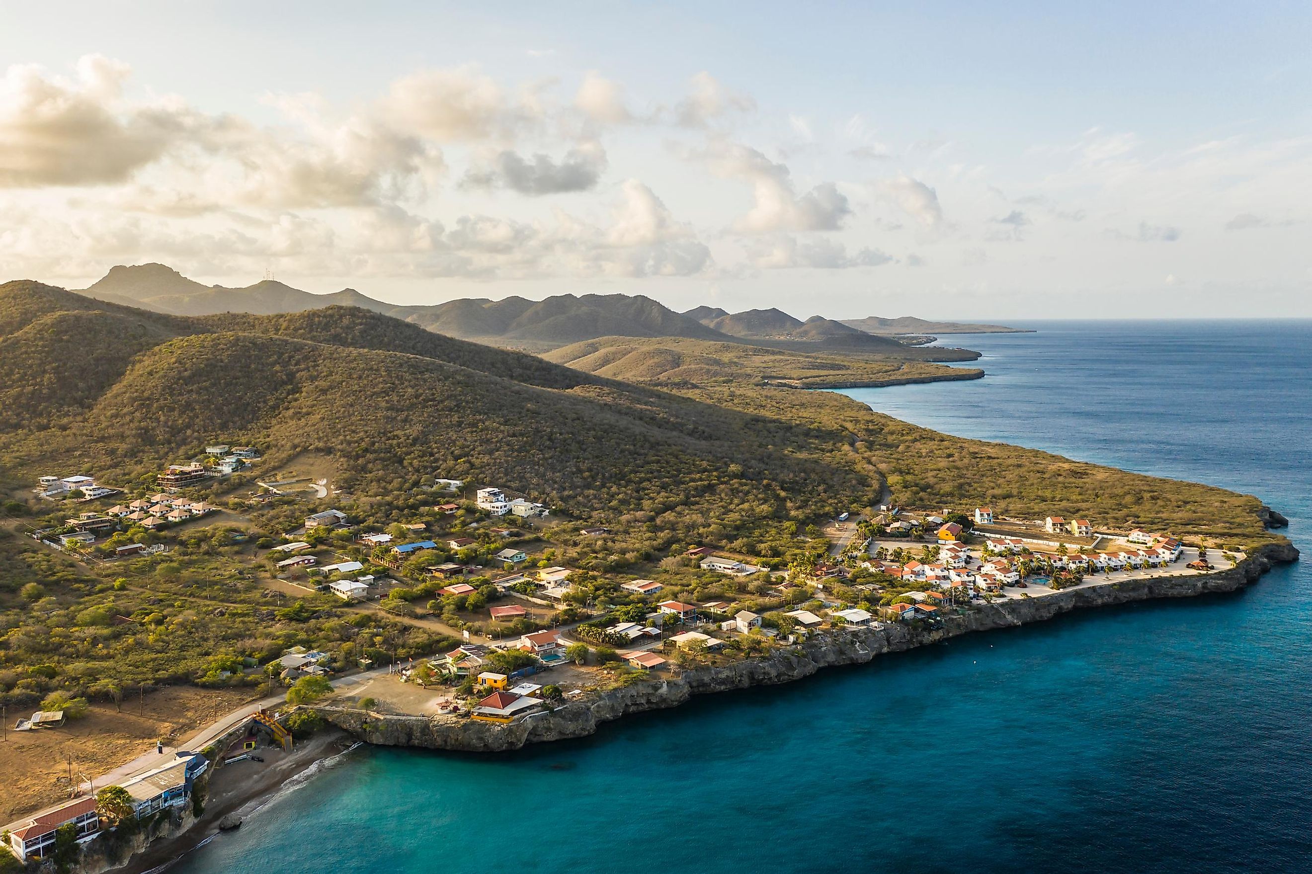
The island of Curaçao is positioned on the continental shelf of South America. Like the other islands of Bonaire and Aruba, Curaçao is also situated outside the Hurricane Alley of the Caribbean Sea. The island has a hilly terrain and Mount Christoffel is the island’s highest point, which rises to an elevation of 372 m and is located in the northwestern part of the island. Many bays, inlets, and hot springs are also situated along the island’s coastline. Situated in the southern part of the island is Willemstad, the capital and the largest city of Curaçao. Willemstad also served as the capital of the Netherland Antilles until its dissolution in 2010. The center of the city, due to its unique architecture, has been designated as a UNESCO World Heritage Site. The island country also consists of the small uninhabited island of Klein Curaçao, which is located about 10 km to the southeast of Curaçao and occupies a land area of only 1.7 km2.
According to the Köppen climate classification, the Curaçao island experiences a hot semi-arid climate. The island faces a dry season from January to September and a wet season from October to December. The yearly average temperature on the island ranges between 31.4 °C and 25.7 °C, with January being the coldest and September being the warmest month.
Wildlife

Unlike the other Caribbean Islands, the Curaçao Island is covered by xeric shrublands of which the Guajira-Barranquilla xeric shrub ecoregion is the most notable. The shrublands of the island comprise various varieties of thorny shrubs, cacti, and watapana and evergreen trees. Numerous avian species like terns, herons, egrets, flamingos, orioles, hummingbirds, bananaquits, trupial, mockingbirds, cormorants, and gulls are found near the coastal areas of the island. Curaçao is home to different species of rodents, small rabbits, white-tailed deer, and cave bats. Many iguanas are also found on the island. The various inlets of the island serve as critical breeding habitats for sea turtles.
Brief History

The island of Curaçao was first settled by the Caquetio and the Arawak peoples who migrated to the island from the South American mainland. The Spanish explorer Alonso de Ojeda and his crew were the first Europeans to visit the island in 1499. These Spaniards enslaved the Indigenous Arawak people and forcibly deported them as slaves to the copper mines on Hispaniola Island in 1515. Following the independence of the Netherlands from Spain, the Dutch West India Company seized Curaçao from the Spanish in 1634. The Dutch colonists then made Curaçao an important center of the Atlantic slave trade. Curaçao also served as home to Sephardic Jews who came to the island from Portugal, making it the oldest continually inhabited Jewish settlement in the Western Hemisphere.
During the 18th and 19th centuries, the island changed hands several times among the British, the Dutch, and the French. Under the Anglo-Dutch Treaty, the ABC Islands were finally returned to the Kingdom of the Netherlands in 1816. The Dutch abolished slavery in 1863, which led to a severe economic crisis in Curaçao. In the 20th century, the Dutch Shell Company established an oil refinery (Isla Refineria) which attracted several immigrants from the neighboring countries and helped to revive the economy of Curaçao. In 1954, Curaçao along with other Dutch Caribbean possessions became a part of the Netherland Antilles. After the dissolution of the Netherland Antilles in October 2010, Curaçao became a self-governing country within the Kingdom of Netherlands.
The economy of Curaçao is heavily dependent on oil refining, shipping services, international trade, and other financial services. Tourism also significantly contributes to the island’s economy.