Maps of Scotland

Scotland, a country in the northern region of the United Kingdom, shares its southern border with England and is surrounded by the North Sea to the east and the Atlantic Ocean to the west and north. Its total area spans approximately 30,090 square miles, making it the second largest nation in the United Kingdom.
The geography of Scotland is distinguished by its Highlands and Lowlands, two primary regions that vary greatly in terrain and character. The Highlands, located in the northern and western parts of the country, are renowned for their rugged, mountainous landscapes. The tallest peak in the region and the entire United Kingdom is Ben Nevis, which stands at an impressive elevation of 4,413 feet. The Highlands also include the Grampian Mountains, a range that stretches from the southwest to the northeast and features numerous peaks above 3,000 feet.
The Lowlands, situated in the southern and eastern parts of Scotland, are characterized by rolling hills and fertile valleys. This region contains the majority of the country's population and agricultural activities, including the cultivation of crops such as barley and wheat. The Central Lowlands, also known as the Midland Valley, are particularly significant as they encompass the country's two largest cities, Glasgow and Edinburgh.
Scotland's coastline is extensive and varied, stretching over 6,160 miles and featuring an array of cliffs, sandy beaches, and rocky shores. Numerous islands, both inhabited and uninhabited, lie off the coast of Scotland, with the largest groupings being the Hebrides, the Orkney Islands, and the Shetland Islands.
In terms of water bodies, Scotland boasts numerous lochs, or lakes, that contribute to its picturesque landscapes. The most famous of these is Loch Ness, which is not only one of the largest freshwater lakes in the British Isles but also the reputed home of the mythical Loch Ness Monster. Another significant loch is Loch Lomond, the largest freshwater lake in Britain by surface area, situated in the Trossachs National Park.
Several major rivers traverse Scotland, providing vital resources for the population and industries. The River Tay, the longest river in the country, flows for 120 miles through the heart of Scotland, eventually emptying into the North Sea. The River Clyde, on which Glasgow is situated, has historically played a crucial role in the country's industrial and maritime heritage. Other important rivers include the River Spey, known for its salmon fishing and whisky distilleries, and the River Tweed, which forms part of the border between Scotland and England.
Map
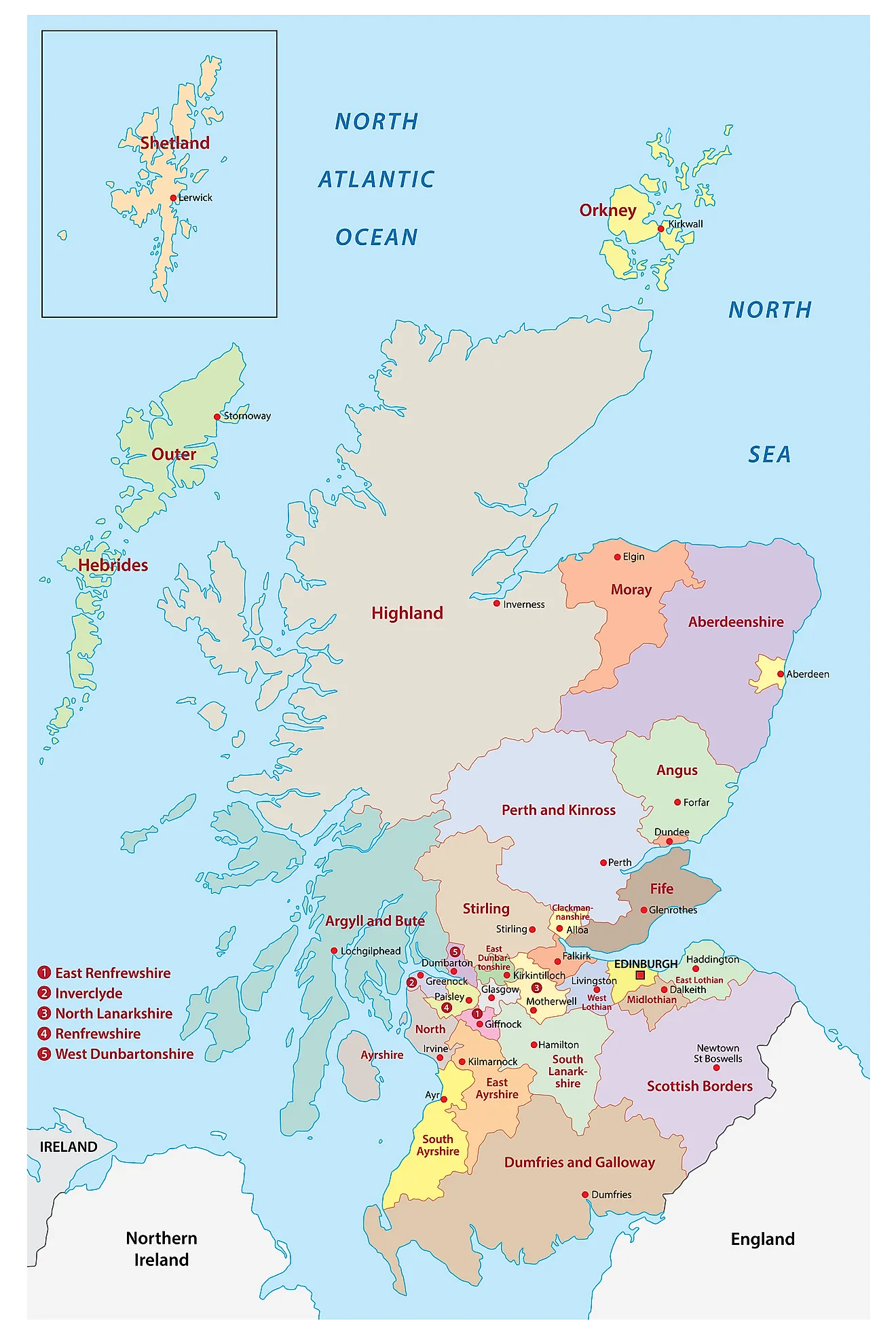
Scotland is administratively divided into 32 council areas. In alphabetical order, these council areas are Aberdeen City, Aberdeenshire, Angus, Argyll and Bute, Clackmannanshire, Dumfries and Galloway, Dundee City, East Ayrshire, East Dunbartonshire, East Lothian, East Renfrewshire, City of Edinburgh, Falkirk, Fife, Glasgow City, Highland, Inverclyde, Midlothian, Moray, North Ayrshire, North Lanarkshire, Perth and Kinross, Renfrewshire, Scottish Borders, South Ayrshire, South Lanarkshire, Stirling, West Dunbartonshire, West Lothian, Nah-Eileanan Siar (Western Isles), Orkney Islands and the Shetland Islands.
Covering an area of 77,933 sq. km, Scotland is 2nd largest country in the United Kingdom. Located in the southeastern part of the country, on the southern shore of the Firth of Forth estuary is Edinburgh - the capital and the 2nd most populous city of Scotland. It also serves as the United Kingdom’s 2nd largest financial center. Located in the West Central Lowlands region of the country on the shores of the River Clyde is Glasgow – the largest and the most populous city of Scotland. It also serves as an industrial and trading center as well as one of Scotland’s largest seaports.
Where is Scotland?
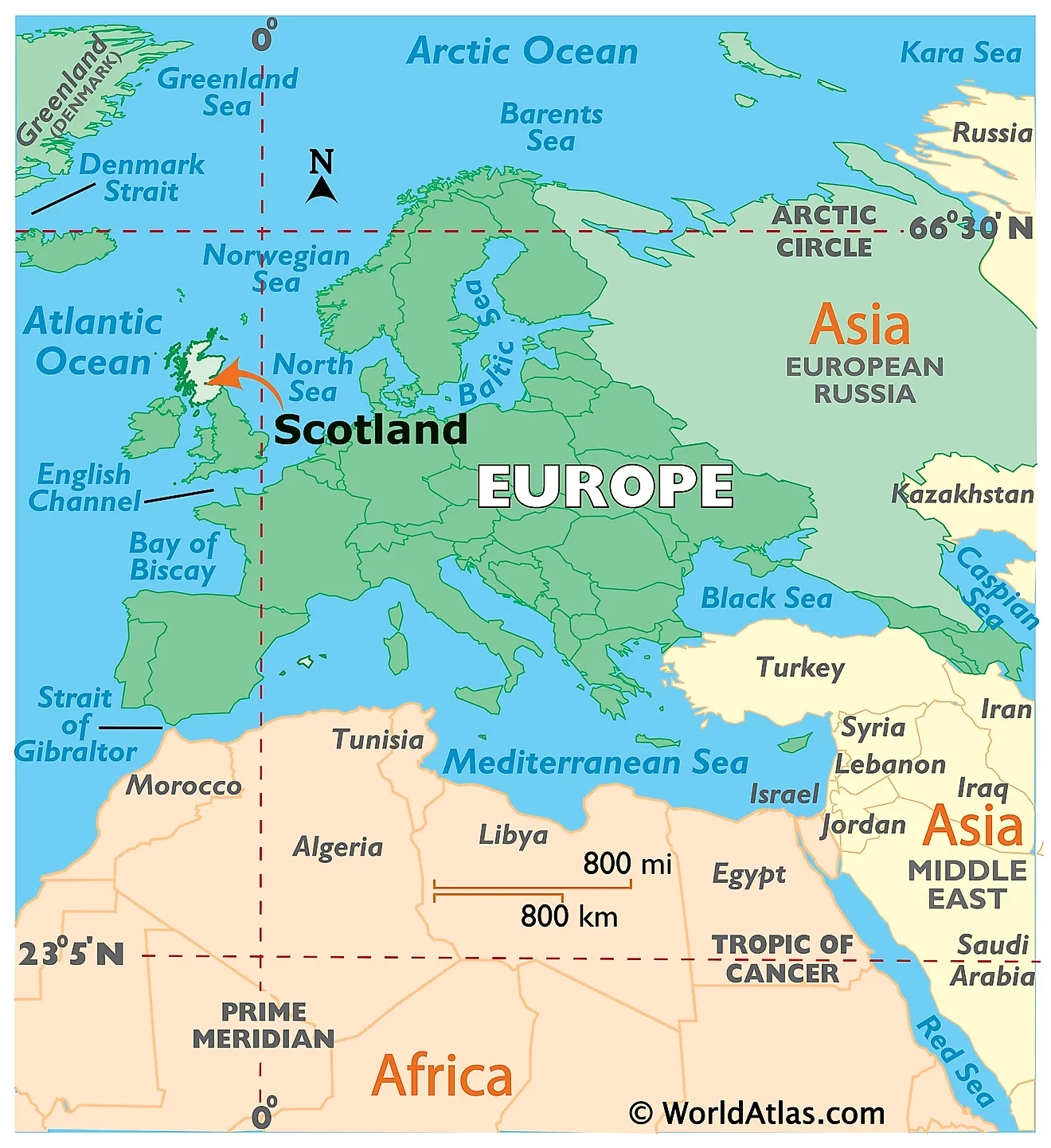
Scotland is a country located in the northern region of the United Kingdom. It is geographically positioned both in the Northern and Western hemispheres of the Earth. Scotland is bordered by England in the southeast; the Atlantic Ocean and the Sea of the Hebrides in the north and west; by the North Sea in the northeast and by the Irish Sea in the south.
Regional Maps: Map of Europe
Outline Map of Scotland
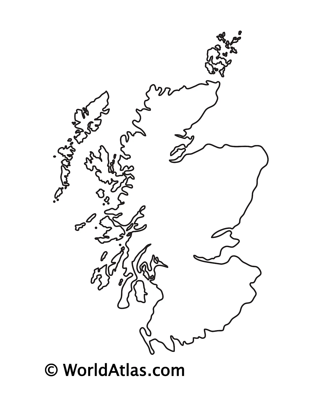
The above blank map represents the country of Scotland, located in the northern region of the United Kingdom. The above map can be downloaded, printed, and used for geography education purposes like map-pointing and coloring activities.
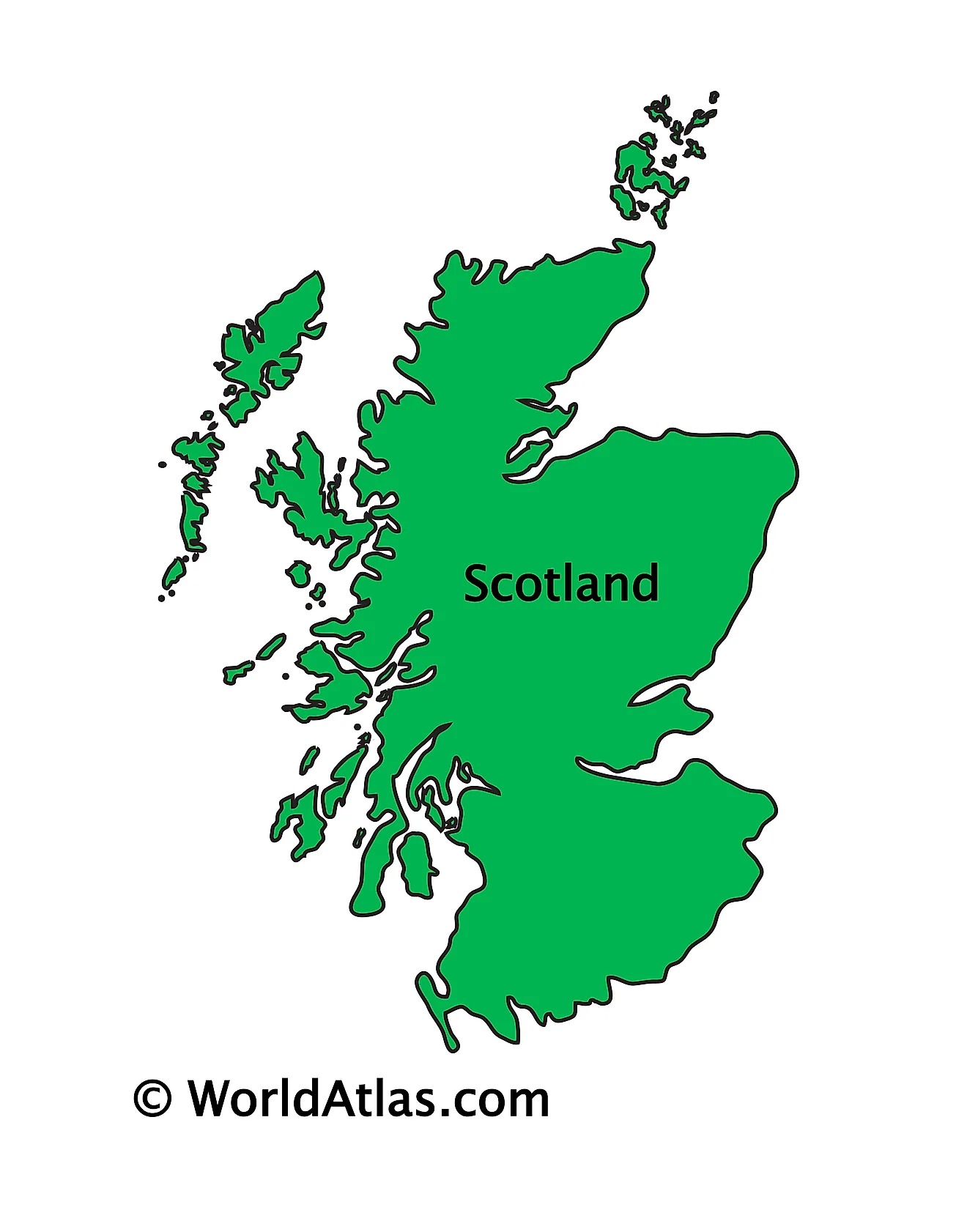
The above outline map represents the country of Scotland, located in the northern region of the United Kingdom.
Key Facts
| Legal Name | Part of Scotland |
|---|---|
| ISO 3166 Code | UK-UKS |
| Capital City | Edinburgh |
This page was last updated on April 24, 2023
