Arabian Sea
The Arabian Sea is the Indian Ocean’s largest marginal sea covering approximately 3.9 million km2. It is connected to the Red Sea, through the Strait of Bab-el-Mandeb and the Gulf of Eden, and the Persian Gulf via the Gulf of Oman. The Arabian Sea is a principal route connecting Europe and Asia, particularly India, and has been crossed since the 3rd millennium BCE. Besides India, the sea drains six other countries; Pakistan, Somalia, Iran, Oman, Maldives, and Yemen. The Arabian Sea's major islands are Astola Island, Lakshadweep, Masirah Island, and Socotra (the largest island).
Origin Of The Name
Historically, several names have been used to refer to the Arabian Sea, including Indian Sea, Arab Samudra, Behera Arab, and Sindh Sea. The Romans referred to it as Mara Erythraeum (Erythraean Sea), while some Arab geographers like Ibn Khordadbeh and Muhammad al-Idrisi named the sea as the Persian Sea. The medieval Arabs referred to the Arabian Sea as the Sea of India or a smaller “Great Sea.” However, the sea was named the "Arabian Sea” because of the Arabian merchants or traders who controlled much of the sea’s trade routes from the 9th century onwards.
Location

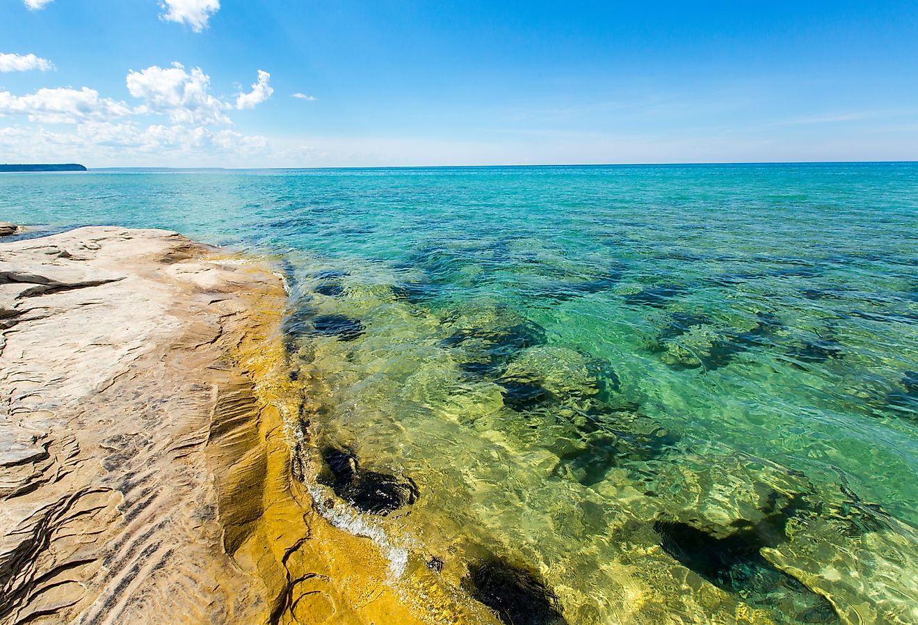
The Arabian Sea is a northwestern arm of the Indian Ocean, located between India and the Arabian Peninsula. It is bounded on the west by the Arabian Peninsula, Guardafui Channel, and the Gulf of Eden, north by Gulf of Oman, Iran, and Pakistan, southwest by Somali, Laccadive Sea on the Southeast, and India on the east. Its two branches: the Gulf of Eden and the Gulf of Oman, connect it to the Red Sea and the Persian Gulf respectively. Mainland India, on the east, separates the Arabian Sea from the Bay of Bengal, the Indian Ocean’s second-largest arm.
Geography

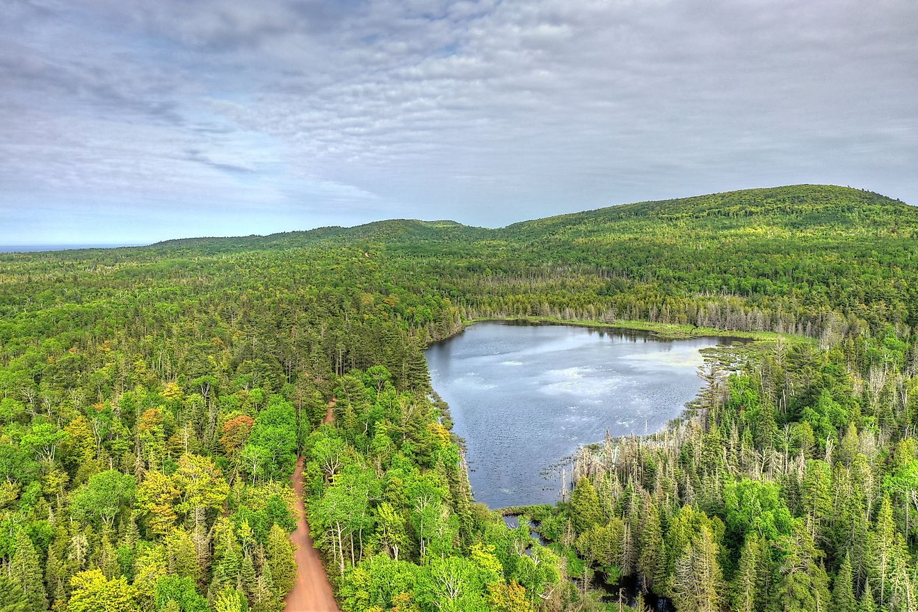
The Arabian Sea covers about 3.862 million km2 and has an average depth of 2,734 meters, with a maximum depth of 4,652 meters (Wheatley Deep). It is approximately 2,400 km wide at the widest point. Most parts of the sea have depths exceeding 2,990 m, with deep water reaching close to the shores except the northeast shores, off India and Pakistan. The Lakshadweep atolls on the southeast form the Maldives Ridge and extend into the Indian Ocean to form Maldives Island farther south. The Socotra Island, on the sea’s western side, is about 110 kilometers long and covers about 3,625 km2, making it the Arabian Sea’s largest island.
Numerous rivers flow into the Arabian Sea, including the Indus, Ganges, Narmada, Sindhu, and Tapi. The Indus is the largest river draining into the sea, rising from Western Tibet in India and flowing southwards through Pakistan before emptying into the Arabian Sea near Karachi. It covers about 3,180 km from the source to the Arabian Sea.

There are numerous islands in the Arabian Sea, including Socotra, Lakshadweep, and Masirah. The Socotra Island is the largest island of the Socotra Archipelago, covering about 3,796 km2 and located between the Arabian Sea and the Guardafui Channel. It lies about 380 kilometers off the Arabian Peninsula’s south coast and politically belongs to Yemen but geographically part of Africa. The Lakshadweep is an island group in the Laccadive Sea, about 200-440 kilometers off India’s southwestern coast. The archipelago is India’s smallest union territory, covering 32 km2. Astola Island is Pakistan’s territory, and Masirah belongs to Oman.
Geology And Seafloor Morphology
The Arabian Sea formed about 50 million years ago, following the collision between Asia and the Indian Subcontinent. The Carlsberg Ridge, stretching towards the southeast from the Socotra, divides the sea into two main basins: Somalia and Arabian Basins. A central valley, reaching about 3,600 meters below the seafloor, split the Carlsberg Ridge longitudinally. The Murray Ridge, which extends southwestwards to connect to the Carlsberg Ridge, separates the Arabian Basin from the Gulf of Oman Basin. The Malian subduction zone, a region when the seafloor falls below the continental crust, lies to the west of the Murray Ridge.
Climate And Hydrology

The Arabian Sea experience mainly the monsoon climate, with a minimum surface air temperature of 75-77 degrees Fahrenheit experienced around the central parts in January or February. Higher temperatures above 82 degrees Fahrenheit occur in June and November. The rainy season (April-November) is triggered by the southwest monsoons. During the rainy season, water salinity falls below 3.5% in the upper layer (45 meters). From November to March (dry season), the northeast monsoons blow over the sea, and salinity level rises to over 3.6% at the surface, particularly on the north.
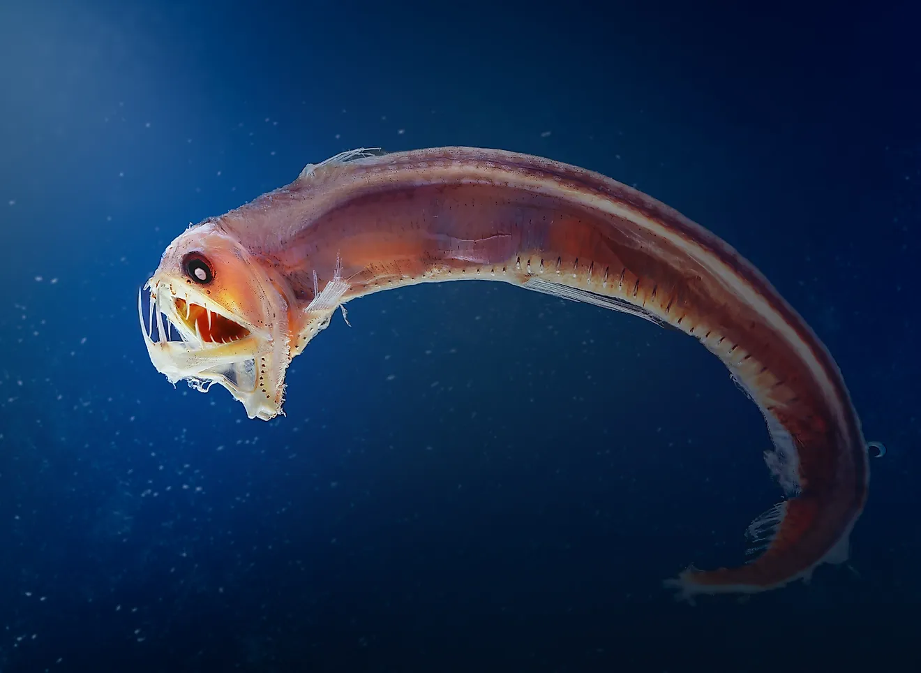
During summer, the complex Somali Current becomes part of the clockwise current circulation system and mixes with the Southwestern Monsoon Current near the Arabian coast. In winter, the Somali Current weakens and flows in a counterclockwise direction. The Arabian Sea has a large “dead zone” or oxygen minimum zone, with very low oxygen levels. The sea’s OMZ has the world’s lowest oxygen levels, especially towards the Gulf of Oman. The OMZ’s causes include high temperatures experienced in the Indian Subcontinent and the untreated waste material being released into the sea.
Economic Importance

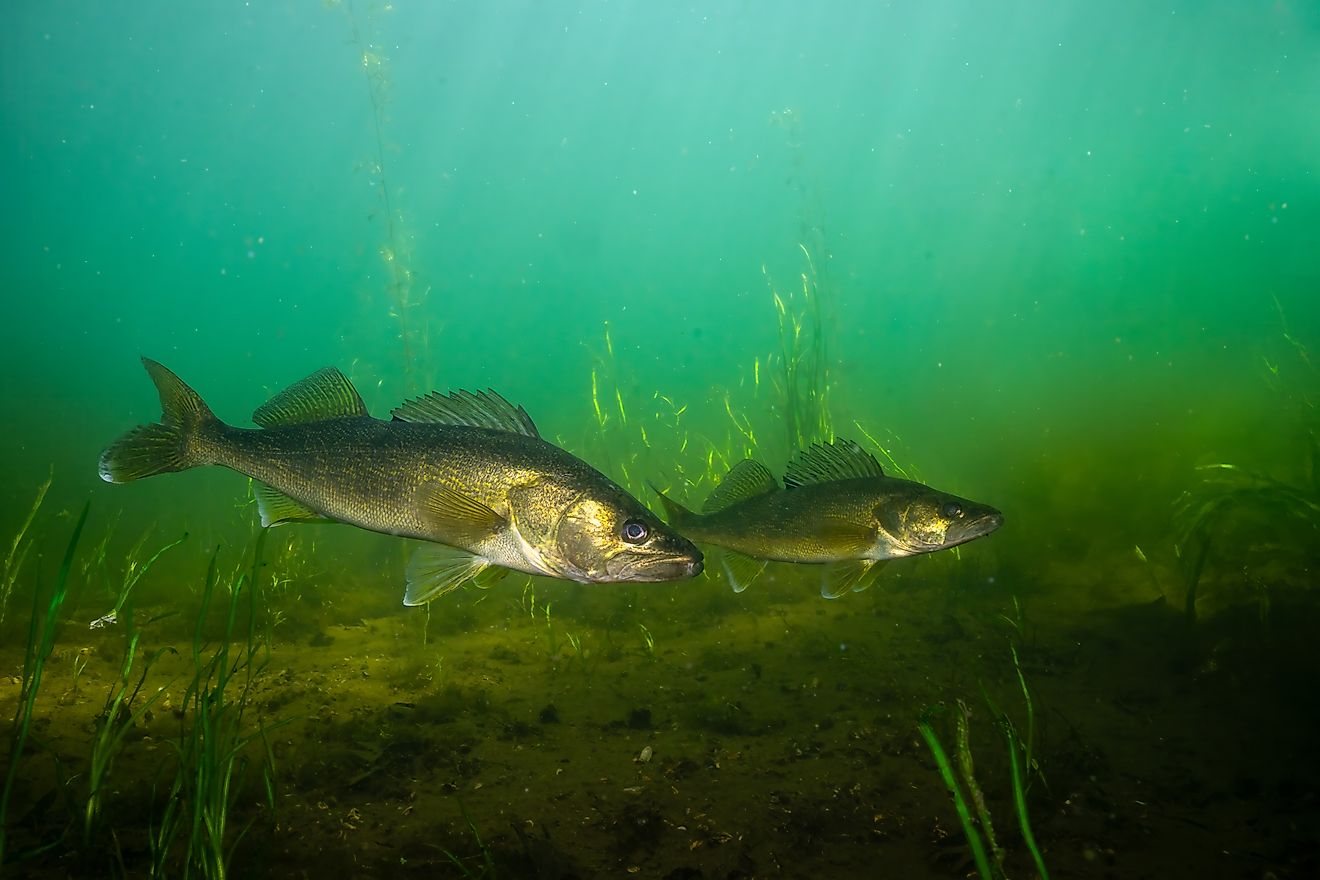
The Arabian Sea is rich in petroleum and natural gas resources, which have been discovered and exploited along India’s coast, particularly near Mumbai. The sea is also rich in inorganic nutrients, especially in the western and southeastern portions, supporting rich marine life. The Arabian Sea is also rich in fish life, including pelagic fish species, such as sardine, tuna, wahoo, billfish, lancet, and sharks. However, the oxygen minimum zone is causing mass fish mortality in the sea. Small scale fishing industry thrives on the Arabian Sea, especially on the Indian Subcontinent, Arabian Peninsula, and African coasts. Commercial fishing is mainly carried out using large vessels, with the principal fishing countries including South Korea, Pakistan, Iran, Sri Lanka, and the Maldives.
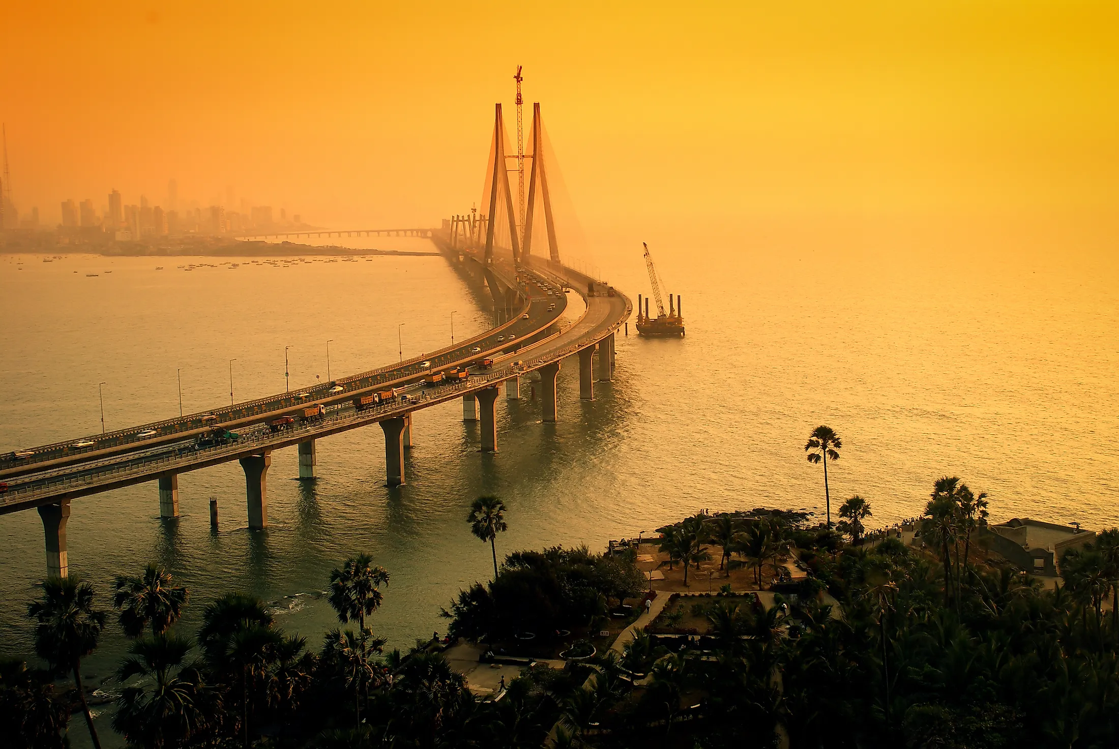
The Arabian Sea is strategically located in the Indian Ocean, connecting the Red Sea and the Persian Gulf to the rest of the world. It contains some of the busiest trade routes and chief shipping routes in the world. The oil tankers, originating from the Persian Gulf, transit through the Arabian Sea to Europe, Asia, and the Americas. The Red Sea-Suez Canal route is often used by cargo fleets. The major ports of the Arabian Sea include Jawaharlal Nehru Port (the largest port in the region), Mundra Port, Nava Sheva, Mundra Port, and Kochi Port.