This Virginia Scenic Byway Is The Road Trip Of A Lifetime
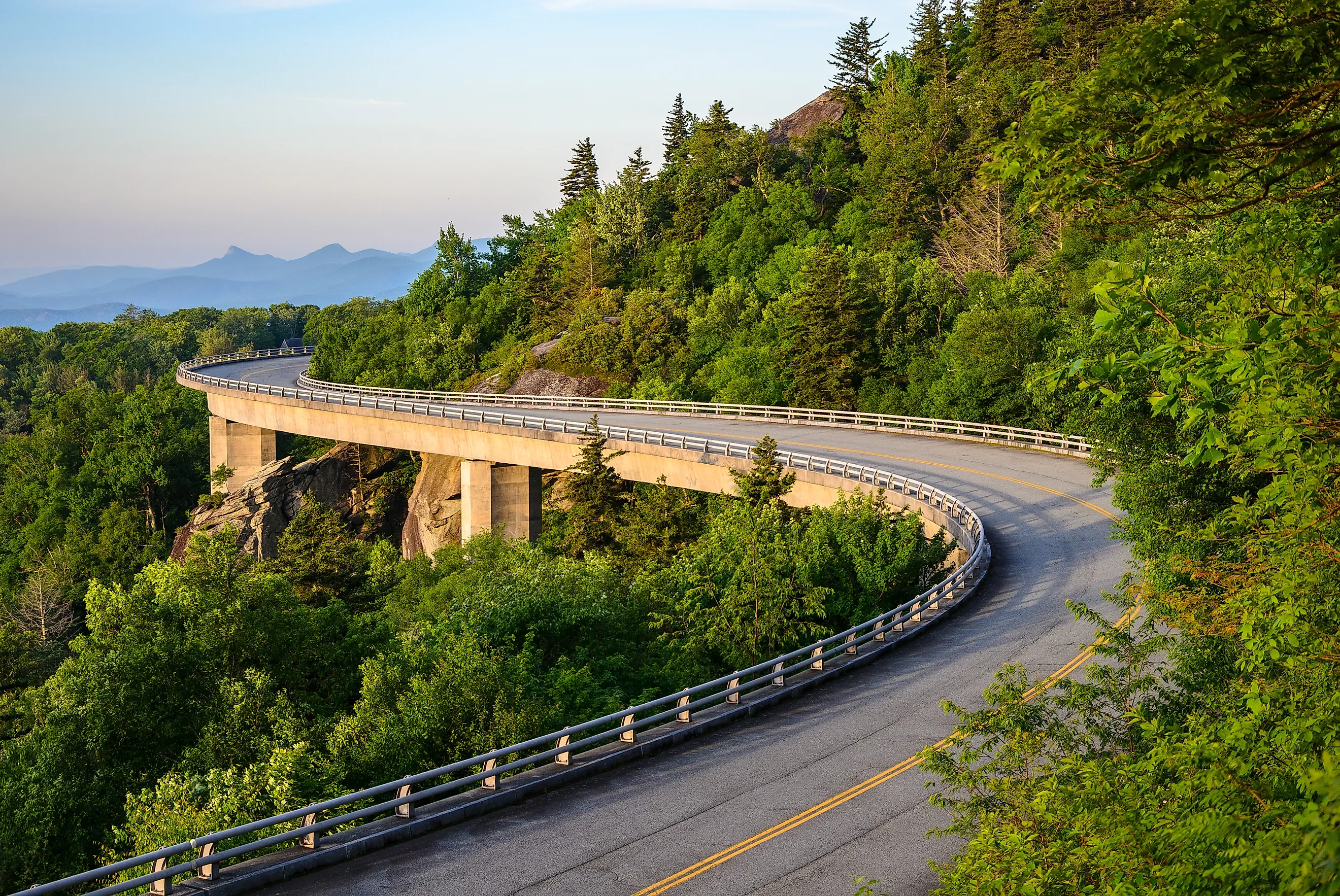
Few American drives pack as much into a single ridgeline as Skyline Drive, the 105-mile route that traces the crest of the Blue Ridge Mountains through Shenandoah National Park in Virginia. It is one of only five roads in the state carrying a federal scenic designation from the Highway Administration, and the payoff for that status shows up at more than 70 overlooks, at trailheads that feed straight onto the Appalachian Trail, and in the occasional black bear or white-tailed deer that wanders across the asphalt. Spring brings azaleas and black-eyed Susans to the roadside; winter brings strong wind and stretches of snow and ice that close the road for days. The park charges an entrance fee at each of its four stations, though the National Park Service waives it on a handful of fee-free days that land on holidays like Memorial Day and Veterans Day. Time a trip around one of those, watch the forecast, and the reputation holds up.
The First Leg

The northern end of the drive begins at the Front Royal Entrance Station, just outside the town of Front Royal. Roughly eight minutes in, the Dickey Ridge Visitor Center at Milepost 4.6 makes a sensible first stop for water, a restroom, and trail maps. Two hikes leave from here: the mile-long Fox Hollow Trail loop and the steeper, nearly four-mile Snead Farm Loop, both threading past the remnants of families who homesteaded these slopes before the park existed. Four minutes farther south, Signal Knob Overlook faces the Massanutten Range, high ground that scouts used to watch the Shenandoah Valley during the American Civil War. Just under two miles on sits Gooney Manor Overlook, part of an 18th-century royal land grant, with Gimlet Ridge and Hogback Mountain in view. Another five minutes brings the Fort Windham Rocks trailhead, which links to the Appalachian Trail on a half-hour walk among boulders rising as high as 50 feet.

The overlooks come quickly after that, first at Jenkins Gap and Hogwallow Flats, then at Range View Overlook about 12 minutes on, where the Bluff Trail branches off. That route runs more than eight miles along a demanding stretch of the Appalachian Trail, climbing close to 1,200 feet over at least four hours, with cool blue peaks at the top that make the effort worth it. Half an hour south, Hazel Mountain Overlook stands opposite Hazel Mountain, dark against the sky on a clear day. The granodiorite underfoot, a two-toned rock, forms much of the high ground throughout the park. Ahead lie the Mary's Rock summit trailhead, a steep climb of three hours or so, and Mary's Rock Tunnel at mile 32.2. From Pinnacles Overlook, the view stretches across Hannah Run, Old Rag Mountain, and the layered forest of Pinnacle Ridge. Ten minutes on, the recently restored Corbin Cabin sits at the end of the Nicholson Hollow, Indian Run, and Corbin Cabin Cutoff trails. The cabin rents to overnight guests, though anyone booking it should know it has no heat.
The Second Leg

From the Corbin Cabin trailheads, Crescent Rock Overlook lies about eight minutes south, with Hershberger Ridge, Nakedtop, and Hawksbill Peak in the frame. Hawksbill is the highest point in the park at 4,051 feet. Two waterfalls follow close together, the 67-foot drop of Rose River Falls and nearby Dark Hollow Falls, joined by a connecting trail for anyone chasing both in one outing. Fifteen minutes on comes Lewis Mountain, then Pocosin Cabin seven minutes past it, a bare-bones overnight option for hikers on the Appalachian Trail. A run of overlooks follows at Sandy Bottom, Bacon Hollow, Eaton Hollow, and Rocky Mount, each opening onto more of the valley's ridges and forest. Roughly 15 to 20 minutes farther, Loft Mountain Campground is the spot for proper off-grid camping, and nine miles south of it, near Grottoes, the Blackrock Springs site has yielded prehistoric archaeological material dating back as far as 1,000 B.C. Horsehead Mountain, the Moormans River, Turk Mountain, and Calf Mountain Overlook make up the last of the views before the road descends toward Rockfish Gap.
About 20 minutes on, the drive ends at the Rockfish Gap Entrance Station, where Skyline Drive meets the Blue Ridge Parkway, the second federally designated route in the state, and a natural continuation south. The station is a good place to grab souvenirs, snacks, and a last restroom stop before deciding what comes next.
Plan Another Drive

Rockfish Gap is less an ending than a junction. The Blue Ridge Parkway runs south from the same spot, 469 more miles of ridgeline toward the Great Smoky Mountains. Closer to the coast, Virginia's Colonial Parkway links Jamestown, Williamsburg, and Yorktown across 23 miles of colonial history rather than mountain views. Both carry the same federal scenic designation as Skyline Drive, and the Highway Administration's full list is longer still. For most drivers, one trip through the Blue Ridge is reason enough to start planning the next.