This Flaming Gorge Canyon All-American Road Is the Ultimate US Road Trip
The Flaming Gorge-Green River Basin Scenic Byway runs through red canyons and high desert across Wyoming and Utah. The route begins in Rock Springs, Wyoming, dips south into Utah past the Flaming Gorge Reservoir and stretches of the Green River, then loops back north to end in Green River, Wyoming. The route is remote, the traffic is light, and the rewards build slowly across red canyons, high desert, and one of the largest reservoirs in the West.
Rock Springs to Flaming Gorge Dam and Visitor Center

Beginning in Rock Springs, drivers take US-191 south through high desert. The terrain shifts toward red rock and rugged country as the road approaches the Flaming Gorge area. The Flaming Gorge Dam and Visitor Center sits across the border in Utah. Completed in 1964 as part of the Colorado River Storage Project, the concrete thin-arch dam stands 502 feet above its foundations and plays a central role in regional water management and hydropower.
The visitor center is open seasonally from mid-April to mid-October, with interpretive displays, a 3D model of the dam, and views of the Green River below. Restrooms and shaded picnic areas are on site.
Flaming Gorge National Recreation Area

Flaming Gorge National Recreation Area covers about 207,000 acres of red canyon cliffs and forest. The canyon walls of the gorge meet the spruce and fir woodlands of the Ashley National Forest, and the area offers wildlife viewing, hiking, and water access. The dam forms the Flaming Gorge Reservoir, a 91-mile stretch of water with more than 350 miles of shoreline used for fishing, swimming, and boating.
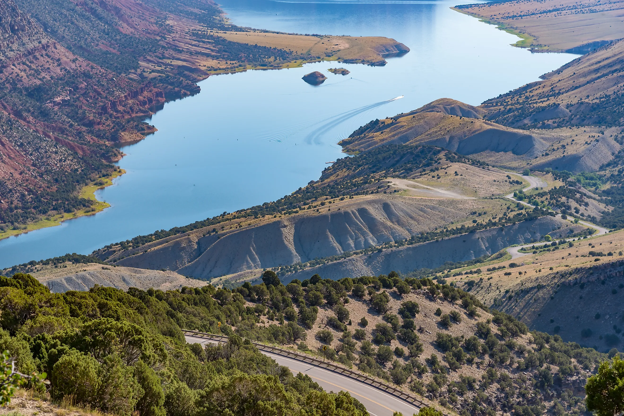
Red Canyon Overlook

After the dam, follow UT-44 west to Red Canyon Overlook, near the Red Canyon Visitor Center in Dutch John, Utah. The cliffs, carved by the Green River, drop about 1,400 feet to the blue water of the reservoir.
The visitor center is open from mid-May to mid-September and includes restrooms and exhibits. Paved, accessible trails connect the visitor center to several viewing areas along the rim, and a spotting scope is usually set up to help visitors look for raptors and bighorn sheep.
The nearby Red Canyon Rim Trail offers hiking and bicycling access. Bighorn sheep and mule deer are sometimes visible from the trail. From the visitor center, return to UT-44 and continue northwest toward Manila.
Sheep Creek Canyon Geological Loop

For a side trip off UT-44, the Sheep Creek Canyon Geological Loop runs about 13 miles through a narrow canyon in the Uinta Mountains, following the Uinta Crest Fault past steep cliffs and angled rock layers. Rocky Mountain bighorn sheep are sometimes seen along the route.
Formations along the loop include Tower Rock, a sandstone tower that anchors one of the most photographed pullouts on the drive, and the limestone cliffs of The Palisades. The drive cuts through quartzite, shale, and sandstone layers reaching back to the Neoproterozoic. The Sheep Creek Nature Trail is a short walk with a boardwalk along Sheep Creek, which flows through the canyon between red and white walls of Navajo sandstone.
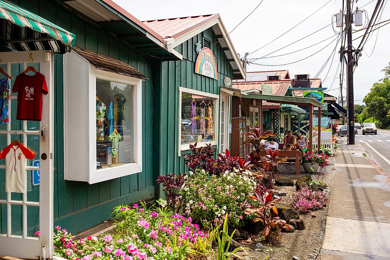
Manila, Utah

Back on UT-44, continue north toward Manila. The town sits at 6,368 feet in the Lucerne Valley and serves as a small gateway to the western side of Flaming Gorge. Dinosaur National Monument is roughly 79 miles away. A handful of hotels and lodges in Manila make it a workable overnight stop for drivers turning the trip into two days, and a couple of gas stations and restaurants cover basic needs.
Manila, Utah to Green River, Wyoming

From Manila, head northeast on UT-43 toward the Wyoming border. The road becomes WY-530, also known as West Side Drive, once it crosses into Wyoming. A turn east onto Lucerne Valley Road (County Road 146) leads to Lucerne Valley Marina, a full-service marina on the reservoir shoreline with boat rentals, a convenience store, a small restaurant, cabins, and campsites.
Back on WY-530, the road follows the western side of the reservoir north toward Green River. The west side draws fewer visitors than the east, and the country between Manila and Green River is rugged and largely empty.
End in Green River

The road trip ends in Green River. A walk along the Green River or a stop at Expedition Island closes out the drive. Expedition Island is associated with the Powell expeditions of the American West: Major John Wesley Powell's famous 1869 descent of the Green and Colorado Rivers is believed to have started here, and his second expedition launched from the same spot in 1871. The island now serves as a 7.1-acre community park where kayaks and tubes can be put in on the river. The Sweetwater County Museum, in town, covers the history of southwestern Wyoming's early explorers and Indigenous peoples.
An All-American Road Trip
This route pairs American engineering with American geology. The Flaming Gorge Dam, the reservoir, and the byway itself were all built in the 20th century, but the rocks they cut through go back hundreds of millions of years, and the canyons keep the human work in proportion. The Sheep Creek Canyon Geological Loop, the Red Canyon Rim Trail, and the long stretches of empty road on the west side of the reservoir give the drive its rhythm. The reward is time in country that is still mostly itself.