4 Copperhead Snake Hotspots In Arkansas
Arkansas has roughly 36 native snake species. The eastern copperhead ranges across more of the state's terrain than any other venomous snake. That makes it one of the venomous snakes hikers run into most often. Copperheads don't seek people out. They stay still then disappear into the ground when people get close. The four spots below combine the right habitat with steady foot traffic for the highest chance of an accidental encounter.
Buffalo National River

The Lost Valley Trail near Ponca is one of the most active copperhead corridors in the Ozarks. The National Park Service openly acknowledges that copperheads appear regularly in campgrounds, on rocky hillsides, and along wooded trails throughout the park. Hikers have documented copperheads crossing the trail less than 100 yards from the parking lot with the snake holding its position until the people moved on. Encounters of that kind reflect what is normal here for the species during the warmer months.

One unusual report from this region came out of Marion County in 2005 just south of the park boundary. Arkansas State University zoologist Dr. Stan Trauth was called to investigate accounts of large numbers of copperheads gathering around a single cedar tree on a property near Yellville. The behavior was reported as unusual enough to draw attention from regional herpetologists. Trauth has speculated it could be tied to cicada emergence in the area though no firm explanation has been confirmed and the observation remains anecdotal.
Ouachita National Forest

The warmth that builds on exposed ridges through Garland, Montgomery, and Polk counties pulls snakes out of their winter dens weeks before nearby shadier terrain warms up. That means peak activity here often starts earlier and lasts longer than most hikers expect. At about 1.8 million acres spanning central Arkansas into southeastern Oklahoma, the forest has 700 miles of trails where copperheads hunt voles, lizards, and insects through the hot months.

In May 2024 residents and hikers across the Ouachita Mountains reported more sightings during cicada hatchings as more people walked the woods. Copperheads are one of the few snake species that will actively climb shrubs and low branches to feed on cicadas, which brings them out of the leaf litter and into plain sight in far greater numbers than usual. The Arkansas Game and Fish Commission describes cicadas as the snake's equivalent of "little packages of protein" and 2024 was a significant year for both.
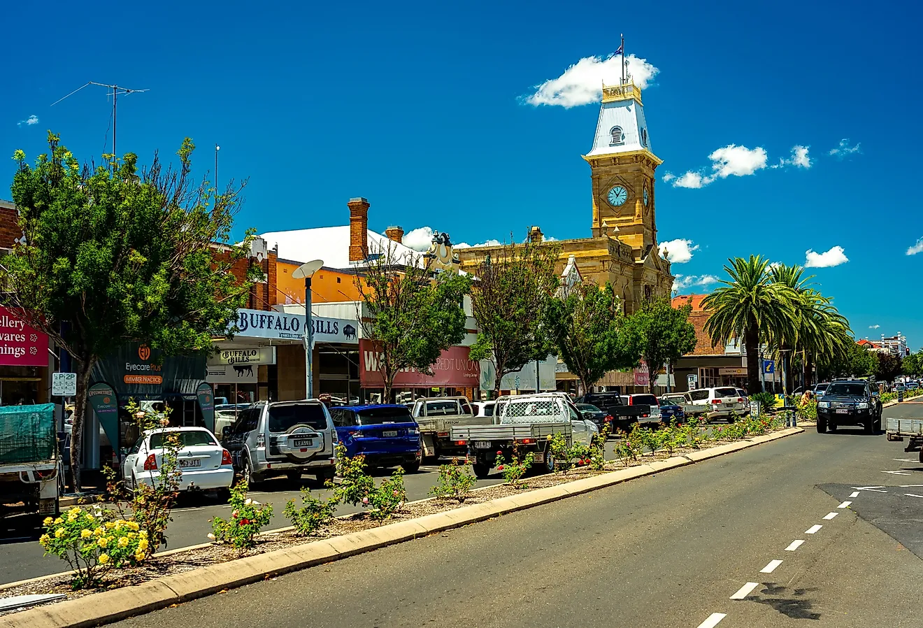
Hot Springs National Park

Hot Springs National Park is home to a wide range of Arkansas snake species, including both venomous and non-venomous types. The eastern copperhead is the most commonly encountered venomous snake in the park, found along the trails on Hot Springs Mountain and West Mountain. The park sits in the Ouachita Mountains and the mixed hardwood slopes and leaf-covered ground along the trails are the same kind of terrain copperheads use for hunting and cover.

Most encounters here are accidental. The trail system is compact and heavily used so hikers and copperheads end up in the same space more often than in larger and less-trafficked parks. The trails themselves are well-maintained and designed to keep hikers on clear visible paths but the habitat on either side of those paths is ideal for copperheads.
Petit Jean State Park

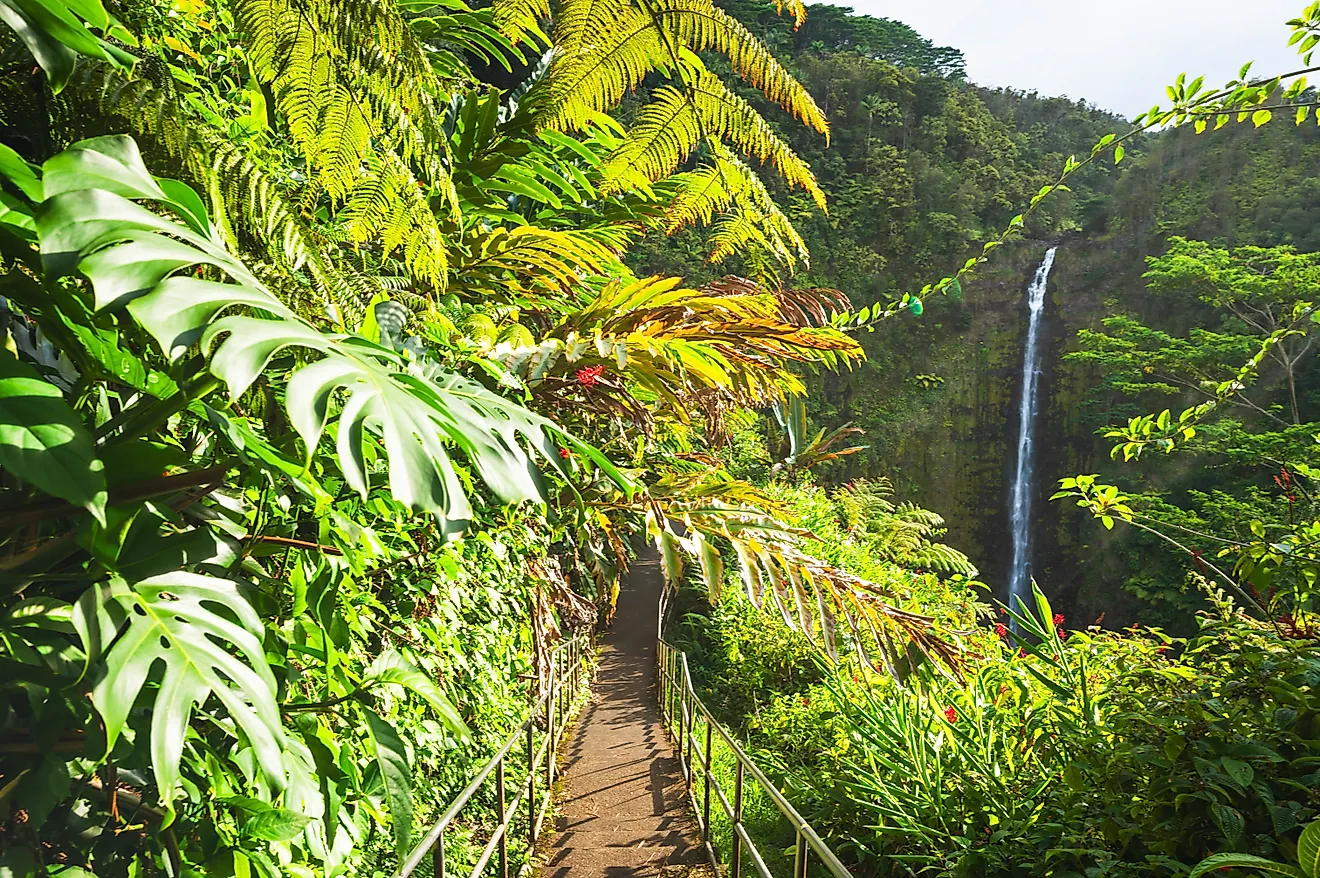
Petit Jean sits on a sandstone mountain that copperheads have used for denning long before it became Arkansas's first state park. The rock is full of cracks and gaps where the snakes spend the winter and in spring they emerge directly onto the trail system. Park staff log consistent sightings from April through October with most encounters reported near Cedar Falls and along the Seven Hollows loop.

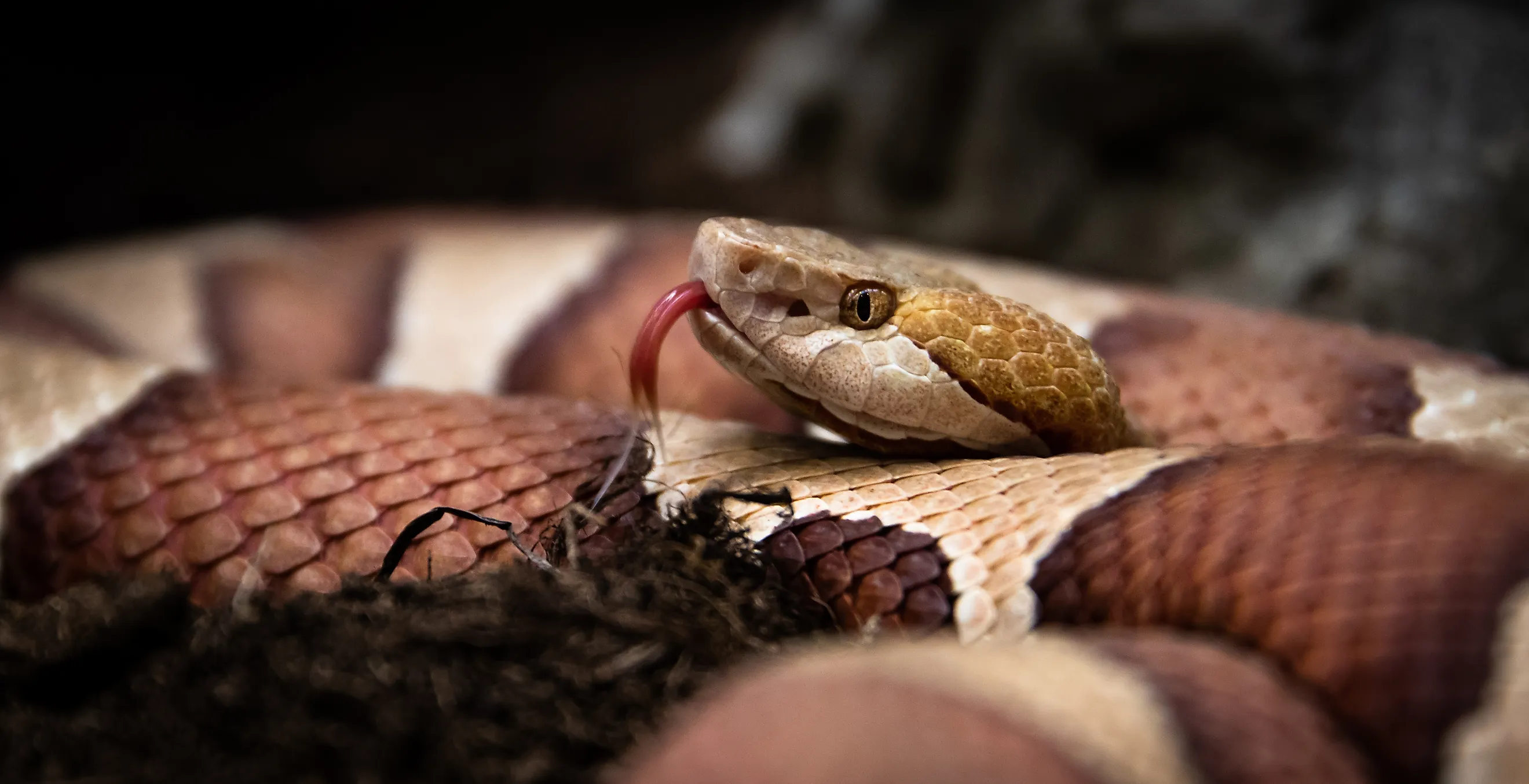
Cedar Falls Trail is the park's busiest hike and runs right along Cedar Creek which provides the damp cover copperheads use for hunting and shelter. The damp ground near the water gives the snakes everything they need so most encounters happen when someone nearly steps on a snake they didn't see. Rachel Engebrecht, a Certified Heritage Interpreter at Petit Jean, wrote on the Arkansas State Parks blog that she has nearly stepped on copperheads there herself even after years of watching for them and that their coloring can make them "nearly invisible" on brown leaves.
What to Know Before Hiking in Arkansas Copperhead Habitat
Copperheads actively avoid humans and rely on camouflage as their primary defense when people are nearby. That's why most bites happen to people who never saw the snake. They stepped on or near one that was trying not to be noticed. Ankle-high boots and long pants address most of that risk. Checking under logs and rock ledges before reaching into them and stepping onto downed timber rather than over it helps reduce the chance of an accidental encounter. Peak activity runs from April through October with warm evenings and nights in summer being the busiest period. If you're heading into any of these four areas, especially the more remote stretches of the Ouachita or the Buffalo River backcountry, the nearest emergency room can be 45 minutes or more away. In those more isolated areas it helps to plan your exit before you start the trail.