Where is Jefferson County, West Virginia?
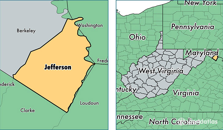
Jefferson County is a county equivalent area found in West Virginia, USA. The county government of Jefferson is found in the county seat of Charles Town.
With a total 548.22 sq. km of land and water area, Jefferson County, West Virginia is the 3003rd largest county equivalent area in the United States. Home to 55,713 people, Jefferson County has a total 22290 households earning 65304 on average per year.
Jefferson County, West Virginia - Quick Facts
| FIPS Code | 54037 |
| Area Codes | 304 |
| Time Zone | EST |
| Major Cities | Charles Town (population: 17,344), Harpers Ferry (population: 13,076), Kearneysville (population: 8,280), Shepherdstown (population: 7,586), Ranson (population: 6,383), Shenandoah Junction (population: 1,961), Summit Point (population: 1,490), Rippon (population: 309), Millville (population: 123) |
| Land Area | 21,511 sq miles |
| Water Area | 210 sq miles |
| Household Income | $65,304 |
| Housing Units | 22,290 |
| Median Home Value | $214,400 |
| High School Grads | 88% of population |
| Holders of Bachelors Degrees | 28% of population |
| Retail Spending | $8,932 per capita |
| Food & Accomodation Sales | $71,937 per capita |
This page was last updated on June 30, 2016.