Where is Loudoun County, Virginia?
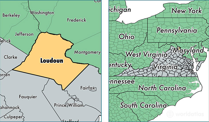
Loudoun County is a county equivalent area found in Virginia, USA. The county government of Loudoun is found in the county seat of Leesburg.
With a total 1,350.25 sq. km of land and water area, Loudoun County, Virginia is the 2099th largest county equivalent area in the United States. Home to 363,050 people, Loudoun County has a total 118341 households earning 122238 on average per year.
Loudoun County, Virginia - Quick Facts
| FIPS Code | 51107 |
| Area Codes | 703,540 |
| Time Zone | EST |
| Major Cities | Ashburn (population: 88,881), Sterling (population: 85,920), Leesburg (population: 79,474), Chantilly (population: 26,909), Purcellville (population: 17,151), Aldie (population: 12,205), Lovettsville (population: 7,064), Round Hill (population: 6,613), Hamilton (population: 4,625), Middleburg (population: 2,902) |
| Land Area | 140,174 sq miles |
| Water Area | 516 sq miles |
| Household Income | $122,238 |
| Housing Units | 118,341 |
| Median Home Value | $437,700 |
| High School Grads | 94% of population |
| Holders of Bachelors Degrees | 58% of population |
| Retail Spending | $16,109 per capita |
| Food & Accomodation Sales | $610,172 per capita |
| Universities and Colleges | Patrick Henry College |
This page was last updated on June 30, 2016.