Where is Thurston County, Washington?
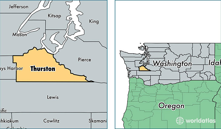
Thurston County is a county equivalent area found in Washington, USA. The county government of Thurston is found in the county seat of Olympia.
With a total 2,003.36 sq. km of land and water area, Thurston County, Washington is the 1230th largest county equivalent area in the United States. Home to 265,851 people, Thurston County has a total 110394 households earning 62229 on average per year.
Thurston County, Washington - Quick Facts
| FIPS Code | 53067 |
| Area Codes | 360 |
| Time Zone | PST |
| Major Cities | Olympia (population: 171,111), Lacey (population: 37,491), Yelm (population: 22,075), Rochester (population: 13,170), Tenino (population: 7,496), Rainier (population: 4,779), Bucoda (population: 578) |
| Land Area | 102,646 sq miles |
| Water Area | 722 sq miles |
| Household Income | $62,229 |
| Housing Units | 110,394 |
| Median Home Value | $244,900 |
| High School Grads | 93% of population |
| Holders of Bachelors Degrees | 32% of population |
| Retail Spending | $12,999 per capita |
| Food & Accomodation Sales | $346,683 per capita |
| Universities and Colleges | South Puget Sound Community College |
This page was last updated on June 30, 2016.