Where is Grays Harbor County, Washington?
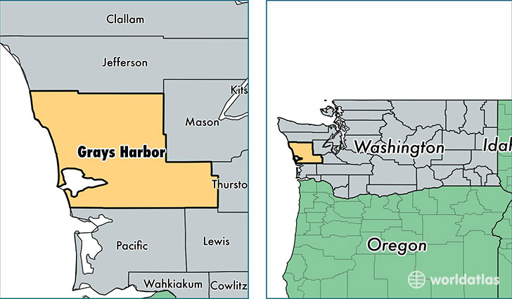
Grays Harbor County is a county equivalent area found in Washington, USA. The county government of Grays Harbor is found in the county seat of Montesano.
With a total 5,761.18 sq. km of land and water area, Grays Harbor County, Washington is the 280th largest county equivalent area in the United States. Home to 70,818 people, Grays Harbor County has a total 35088 households earning 42405 on average per year.
Grays Harbor County, Washington - Quick Facts
| FIPS Code | 53027 |
| Area Codes | 360 |
| Time Zone | PST |
| Major Cities | Aberdeen (population: 23,452), Hoquiam (population: 11,209), Elma (population: 9,971), Montesano (population: 7,879), Ocean Shores (population: 5,696), McCleary (population: 3,177), Westport (population: 2,872), Oakville (population: 2,481), Cosmopolis (population: 2,096), Taholah (population: 927) |
| Land Area | 27,343 sq miles |
| Water Area | 1,902 sq miles |
| Household Income | $42,405 |
| Housing Units | 35,088 |
| Median Home Value | $157,600 |
| High School Grads | 85% of population |
| Holders of Bachelors Degrees | 14% of population |
| Retail Spending | $10,773 per capita |
| Food & Accomodation Sales | $110,958 per capita |
This page was last updated on June 30, 2016.