Where is Mason County, Washington?
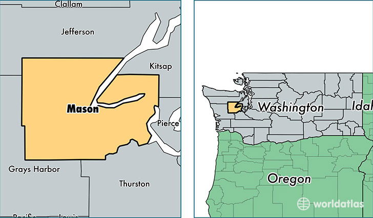
Mason County is a county equivalent area found in Washington, USA. The county government of Mason is found in the county seat of Shelton.
With a total 2,722.13 sq. km of land and water area, Mason County, Washington is the 716th largest county equivalent area in the United States. Home to 60,711 people, Mason County has a total 32430 households earning 48755 on average per year.
Mason County, Washington - Quick Facts
| FIPS Code | 53045 |
| Area Codes | 360 |
| Time Zone | PST |
| Major Cities | Shelton (population: 36,710), Belfair (population: 10,005), Allyn (population: 3,239), Grapeview (population: 2,915), Hoodsport (population: 2,197), Tahuya (population: 1,833), Union (population: 1,767), Lilliwaup (population: 600), Matlock (population: 142) |
| Land Area | 23,441 sq miles |
| Water Area | 959 sq miles |
| Household Income | $48,755 |
| Housing Units | 32,430 |
| Median Home Value | $210,200 |
| High School Grads | 89% of population |
| Holders of Bachelors Degrees | 17% of population |
| Retail Spending | $7,395 per capita |
| Food & Accomodation Sales | $115,435 per capita |
This page was last updated on June 30, 2016.