Where is Caledonia County, Vermont?
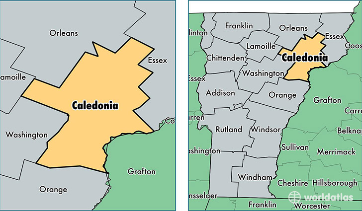
Caledonia County is a county equivalent area found in Vermont, USA. The county government of Caledonia is found in the county seat of Saint Johnsbury.
With a total 1,703.01 sq. km of land and water area, Caledonia County, Vermont is the 1548th largest county equivalent area in the United States. Home to 30,981 people, Caledonia County has a total 15959 households earning 45395 on average per year.
Caledonia County, Vermont - Quick Facts
| FIPS Code | 50005 |
| Area Codes | 802 |
| Time Zone | EST |
| Major Cities | Saint Johnsbury (population: 9,411), Lyndonville (population: 6,505), Hardwick (population: 2,547), Danville (population: 1,921), West Burke (population: 1,632), Barnet (population: 1,264), Groton (population: 1,135), East Hardwick (population: 1,064), East Burke (population: 978), Sutton (population: 895) |
| Land Area | 11,962 sq miles |
| Water Area | 649 sq miles |
| Household Income | $45,395 |
| Housing Units | 15,959 |
| Median Home Value | $164,300 |
| High School Grads | 90% of population |
| Holders of Bachelors Degrees | 27% of population |
| Retail Spending | $13,565 per capita |
| Food & Accomodation Sales | $29,922 per capita |
This page was last updated on June 30, 2016.