Where is Lamoille County, Vermont?
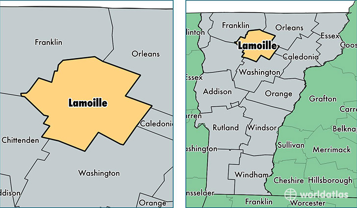
Lamoille County is a county equivalent area found in Vermont, USA. The county government of Lamoille is found in the county seat of Hyde Park.
With a total 1,200.94 sq. km of land and water area, Lamoille County, Vermont is the 2307th largest county equivalent area in the United States. Home to 25,082 people, Lamoille County has a total 13085 households earning 52686 on average per year.
Lamoille County, Vermont - Quick Facts
| FIPS Code | 50015 |
| Area Codes | 802 |
| Time Zone | EST |
| Major Cities | Morrisville (population: 5,730), Stowe (population: 4,399), Johnson (population: 3,577), Jeffersonville (population: 3,065), Hyde Park (population: 2,924), Wolcott (population: 2,210), Eden (population: 791), Waterville (population: 695), Eden Mills (population: 557), Belvidere Center (population: 345) |
| Land Area | 9,684 sq miles |
| Water Area | 459 sq miles |
| Household Income | $52,686 |
| Housing Units | 13,085 |
| Median Home Value | $218,800 |
| High School Grads | 93% of population |
| Holders of Bachelors Degrees | 36% of population |
| Retail Spending | $12,412 per capita |
| Food & Accomodation Sales | $174,189 per capita |
This page was last updated on June 30, 2016.