Where is Grafton County, New Hampshire?
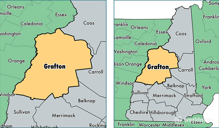
Grafton County is a county equivalent area found in New Hampshire, USA.
With a total 4,531.3 sq. km of land and water area, Grafton County, New Hampshire is the 383rd largest county equivalent area in the United States. Home to 89,658 people, Grafton County has a total 51431 households earning 54912 on average per year.
Grafton County, New Hampshire - Quick Facts
| FIPS Code | 33009 |
| Area Codes | 603 |
| Time Zone | EST |
| Major Cities | Hanover (population: 10,545), Lebanon (population: 8,964), Plymouth (population: 7,473), Littleton (population: 5,943), Bristol (population: 5,356), Enfield (population: 4,762), Canaan (population: 4,210), West Lebanon (population: 4,088), Campton (population: 3,429), Bethlehem (population: 2,527) |
| Land Area | 34,617 sq miles |
| Water Area | 1,709 sq miles |
| Household Income | $54,912 |
| Housing Units | 51,431 |
| Median Home Value | $212,000 |
| High School Grads | 92% of population |
| Holders of Bachelors Degrees | 38% of population |
| Retail Spending | $22,919 per capita |
| Food & Accomodation Sales | $272,818 per capita |
| Universities and Colleges | Dartmouth College, Lebanon College |
This page was last updated on June 30, 2016.