Where is Prince Edward County, Virginia?
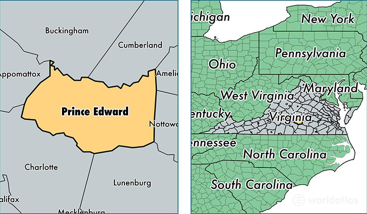
Prince Edward County is a county equivalent area found in Virginia, USA. The county government of Prince Edward is found in the county seat of Farmville.
With a total 916.42 sq. km of land and water area, Prince Edward County, Virginia is the 2725th largest county equivalent area in the United States. Home to 23,074 people, Prince Edward County has a total 9227 households earning 37436 on average per year.
Prince Edward County, Virginia - Quick Facts
| FIPS Code | 51147 |
| Area Codes | 434 |
| Time Zone | EST |
| Major Cities | Farmville (population: 18,275), Rice (population: 2,325), Meherrin (population: 1,995), Prospect (population: 1,979), Green Bay (population: 1,100), Hampden Sydney (population: 223) |
| Land Area | 8,909 sq miles |
| Water Area | 350 sq miles |
| Household Income | $37,436 |
| Housing Units | 9,227 |
| Median Home Value | $153,400 |
| High School Grads | 80% of population |
| Holders of Bachelors Degrees | 22% of population |
| Retail Spending | $16,279 per capita |
| Food & Accomodation Sales | $39,964 per capita |
This page was last updated on June 30, 2016.