Where is Charlotte County, Virginia?
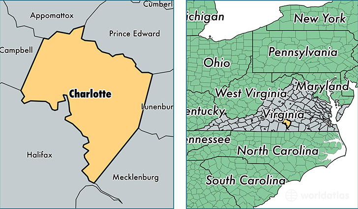
Charlotte County is a county equivalent area found in Virginia, USA. The county government of Charlotte is found in the county seat of Charlotte Court House.
With a total 1,236.77 sq. km of land and water area, Charlotte County, Virginia is the 2253rd largest county equivalent area in the United States. Home to 12,225 people, Charlotte County has a total 6255 households earning 33015 on average per year.
Charlotte County, Virginia offers the following attraction to visitors: Red Hill Patrick Henry NMEM
Charlotte County, Virginia - Quick Facts
| FIPS Code | 51037 |
| Area Codes | 434 |
| Time Zone | EST |
| Major Cities | Keysville (population: 4,218), Charlotte Court House (population: 2,555), Drakes Branch (population: 1,939), Phenix (population: 1,245), Red Oak (population: 1,120), Saxe (population: 1,101), Cullen (population: 673), Randolph (population: 661), Red House (population: 581), Wylliesburg (population: 226) |
| Land Area | 4,720 sq miles |
| Water Area | 475 sq miles |
| Household Income | $33,015 |
| Housing Units | 6,255 |
| Median Home Value | $98,900 |
| High School Grads | 75% of population |
| Holders of Bachelors Degrees | 16% of population |
| Retail Spending | $5,074 per capita |
| Food & Accomodation Sales | $2,729 per capita |
This page was last updated on June 30, 2016.