Where is Middlesex County, Virginia?
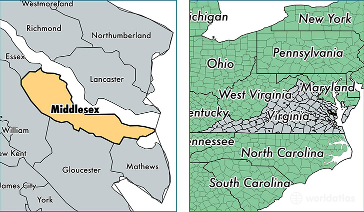
Middlesex County is a county equivalent area found in Virginia, USA. The county government of Middlesex is found in the county seat of Saluda.
With a total 545.87 sq. km of land and water area, Middlesex County, Virginia is the 3005th largest county equivalent area in the United States. Home to 10,696 people, Middlesex County has a total 7184 households earning 53309 on average per year.
Middlesex County, Virginia - Quick Facts
| FIPS Code | 51119 |
| Area Codes | 804 |
| Time Zone | EST |
| Major Cities | Saluda (population: 3,175), Urbanna (population: 1,883), Deltaville (population: 1,670), Hartfield (population: 1,543), Topping (population: 1,308), Wake (population: 647), Locust Hill (population: 576), Water View (population: 435), Jamaica (population: 431), Hardyville (population: 425) |
| Land Area | 4,130 sq miles |
| Water Area | 131 sq miles |
| Household Income | $53,309 |
| Housing Units | 7,184 |
| Median Home Value | $247,100 |
| High School Grads | 89% of population |
| Holders of Bachelors Degrees | 27% of population |
| Retail Spending | $8,879 per capita |
| Food & Accomodation Sales | $8,743 per capita |
This page was last updated on June 30, 2016.