Where is Gloucester County, Virginia?
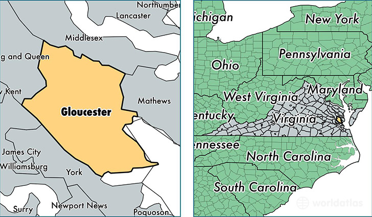
Gloucester County is a county equivalent area found in Virginia, USA. The county government of Gloucester is found in the county seat of Gloucester.
With a total 745.87 sq. km of land and water area, Gloucester County, Virginia is the 2867th largest county equivalent area in the United States. Home to 37,141 people, Gloucester County has a total 16004 households earning 60519 on average per year.
Gloucester County, Virginia - Quick Facts
| FIPS Code | 51073 |
| Area Codes | 804 |
| Time Zone | EST |
| Major Cities | Gloucester (population: 21,224), Hayes (population: 11,549), Gloucester Point (population: 2,341), Wicomico (population: 68), Ware Neck (population: 47), Achilles (population: 25) |
| Land Area | 14,340 sq miles |
| Water Area | 218 sq miles |
| Household Income | $60,519 |
| Housing Units | 16,004 |
| Median Home Value | $228,700 |
| High School Grads | 89% of population |
| Holders of Bachelors Degrees | 22% of population |
| Retail Spending | $13,071 per capita |
| Food & Accomodation Sales | $40,084 per capita |
This page was last updated on June 30, 2016.