Where is Mathews County, Virginia?
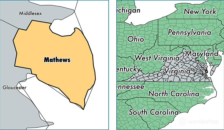
Mathews County is a county equivalent area found in Virginia, USA. The county government of Mathews is found in the county seat of Mathews.
With a total 652.58 sq. km of land and water area, Mathews County, Virginia is the 2947th largest county equivalent area in the United States. Home to 8,836 people, Mathews County has a total 5685 households earning 55192 on average per year.
Mathews County, Virginia - Quick Facts
| FIPS Code | 51115 |
| Area Codes | 804 |
| Time Zone | EST |
| Major Cities | Mathews (population: 1,801), Cobbs Creek (population: 1,457), North (population: 1,038), Port Haywood (population: 943), Hudgins (population: 599), Dutton (population: 592), Gwynn (population: 466), Foster (population: 453), Bohannon (population: 341), Moon (population: 291) |
| Land Area | 3,412 sq miles |
| Water Area | 86 sq miles |
| Household Income | $55,192 |
| Housing Units | 5,685 |
| Median Home Value | $238,500 |
| High School Grads | 89% of population |
| Holders of Bachelors Degrees | 27% of population |
| Retail Spending | $6,566 per capita |
This page was last updated on June 30, 2016.