Where is Fairfax County, Virginia?
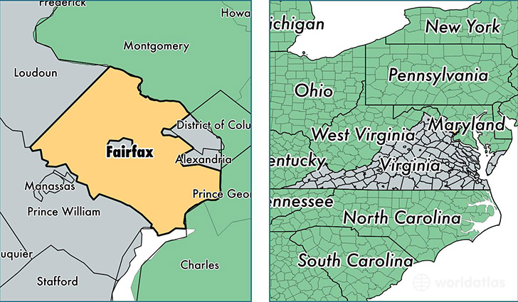
Fairfax County is a county equivalent area found in Virginia, USA.
With a total 1,051.9 sq. km of land and water area, Fairfax County, Virginia is the 2571st largest county equivalent area in the United States. Home to 1,137,538 people, Fairfax County has a total 409261 households earning 110292 on average per year.
Fairfax County, Virginia offers the following attractions to visitors: Mount Vernon, Mount Vernon, Wolf Trap National Park for the Performing Arts
Fairfax County, Virginia - Quick Facts
| FIPS Code | 51059 |
| Area Codes | 703 |
| Time Zone | EST |
| Major Cities | Alexandria (population: 193,338), Fairfax (population: 157,233), Springfield (population: 107,954), Falls Church (population: 103,394), Herndon (population: 90,092), Centreville (population: 71,025), Vienna (population: 65,387), Reston (population: 61,859), Annandale (population: 57,898), McLean (population: 53,640) |
| Land Area | 439,206 sq miles |
| Water Area | 391 sq miles |
| Household Income | $110,292 |
| Housing Units | 409,261 |
| Median Home Value | $476,600 |
| High School Grads | 92% of population |
| Holders of Bachelors Degrees | 59% of population |
| Retail Spending | $13,925 per capita |
| Food & Accomodation Sales | $2,705,714 per capita |
This page was last updated on June 30, 2016.