Where is Victoria County, Texas?
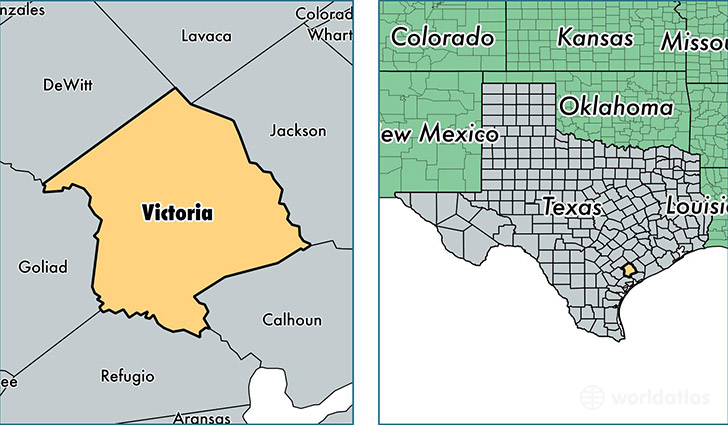
Victoria County is a county equivalent area found in Texas, USA. The county government of Victoria is found in the county seat of Victoria.
With a total 2,302.07 sq. km of land and water area, Victoria County, Texas is the 1003rd largest county equivalent area in the United States. Home to 91,081 people, Victoria County has a total 35472 households earning 50364 on average per year.
Victoria County, Texas - Quick Facts
| FIPS Code | 48469 |
| Area Codes | 361 |
| Time Zone | CST |
| Major Cities | Victoria (population: 82,819), Inez (population: 2,853), Bloomington (population: 2,690), Placedo (population: 738), Telferner (population: 335), Nursery (population: 129), McFaddin (population: 51) |
| Land Area | 35,167 sq miles |
| Water Area | 882 sq miles |
| Household Income | $50,364 |
| Housing Units | 35,472 |
| Median Home Value | $110,200 |
| High School Grads | 82% of population |
| Holders of Bachelors Degrees | 16% of population |
| Retail Spending | $16,648 per capita |
| Food & Accomodation Sales | $130,821 per capita |
This page was last updated on June 30, 2016.